hotel Munsiyari
Munsyari The Roof Top, Munsiyari: Location and Booking
Munsyari The Roof Top is a hotel 0.6 km south-east of Munsiyari's centre, at about 2,090 m. From its map point the elevation model finds a clear line to 4 named peaks, the highest Panchachuli (6,904 m), 24.4 km to the north-east.
Munsyari The Roof Top at a glance
- Kind
- Hotel
- Where
- 0.6 km south-east of Munsiyari's centre
- Height
- About 2,090 m
- Snow peaks in view
- Panchachuli, Rajrambha, Chaudhara, Suli Top
- Book online
- Booking.com
- Munsiyari from Delhi
- 623 km by road
- Munsiyari from Haldwani
- 285 km by road
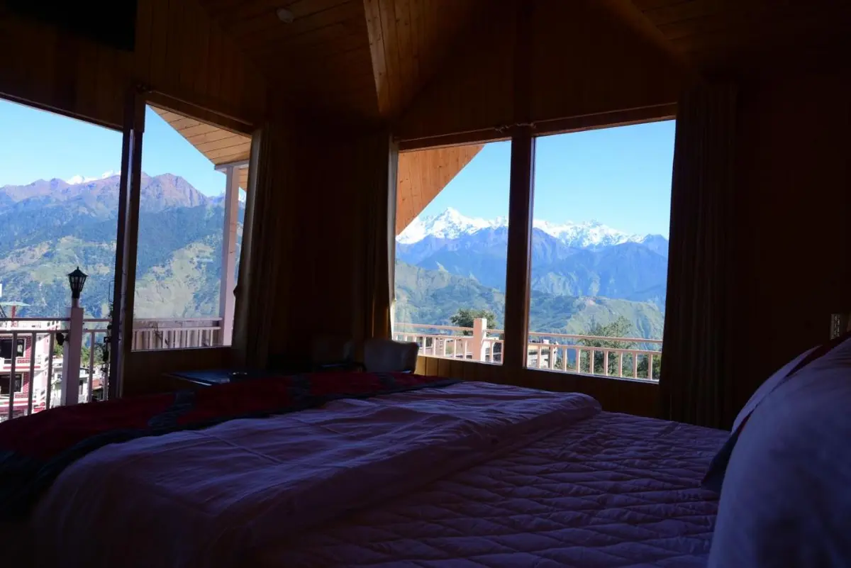
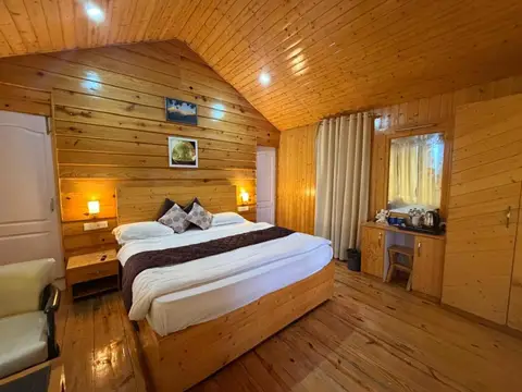
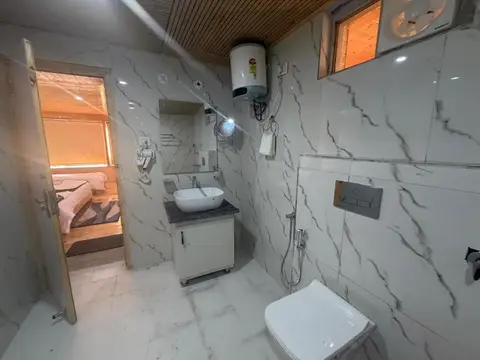
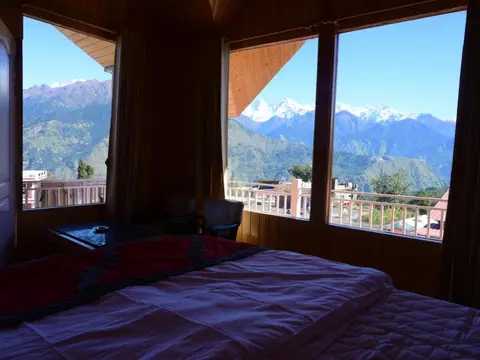
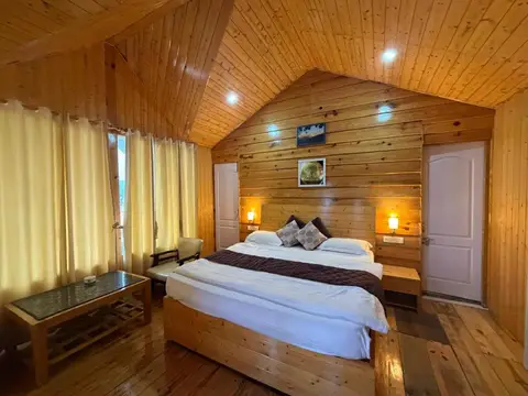
The view from Munsyari The Roof Top
From its map point the elevation model finds a clear line to 4 named peaks, the highest Panchachuli (6,904 m), 24.4 km to the north-east.
- Panchachuli, 6,904 m: 24.4 km to the north-east; about 1,300 m of the mountain, the summit and its snow, shows over the ridges.
- Rajrambha, 6,537 m: 23.8 km to the north-east; just the summit shows over the ridges.
- Chaudhara, 6,510 m: 26.7 km to the north-east; just the summit shows over the ridges.
- Suli Top, 6,300 m: 37.7 km to the north; just the summit shows over the ridges.
Worked out from the stay's map point, 3 m above the ground, on the Copernicus elevation model, allowing for the curve of the earth. Trees and buildings around the stay are not in the model, and the peaks are clearest in the first hours after sunrise, October to March.
Where it is
Munsyari The Roof Top is 0.6 km south-east of Munsiyari's centre, at about 2,090 m. Munsiyari is 623 km by road from Delhi and 285 km from Haldwani, the railhead.
The nearest stays
- Dharamshala Inn, guest house: 100 m away
- Hotel Bala Paradise, hotel: 100 m away
- MP Residency Homestay, homestay: 200 m away
- Tulsi Homestay, homestay: 300 m away
- Hotel Mansarovar Inn, hotel: 300 m away
- Hotel Leela Mount View Munsyari, hotel: 300 m away
Every hotel and homestay in Munsiyari, with the peaks each one sees.
The weather in Munsiyari now
Munsiyari2,200 m
6°CMostly clear
Now, 20:04 IST · wind 4 km/h
- Mostly clear9° 2°Dry
- Partly cloudy16° 2°0.7 mm
- Mostly clear15° 2°Dry
- Mostly clear16° 2°Dry
- Partly cloudy15° 2°Dry
- Mostly clear16° 1°Dry
- Mostly clear16° 1°Dry
Forecast for 2,200 m, updated . Data from MET Norway (CC BY 4.0); the daily figures are worked out by us.
Munsiyari weather: the next 24 hours, 10 days and every month.
Questions about Munsyari The Roof Top
Munsyari The Roof Top is a hotel 0.6 km south-east of Munsiyari's centre, in Munsiyari, Uttarakhand, at about 2,090 m. Its map point is linked on this page.
On the elevation model, yes: there is a clear line from the stay's map point to the summit of Panchachuli (6,904 m), 24.4 km to the north-east, and about 1,300 m of the mountain, the summit and its snow, clears the ridges in between. Trees, buildings and cloud are not in the model; mornings are clearest.
It is listed on Booking.com; the links on this page open its own listing there, with rooms, prices and dates. We do not take bookings for it.
In Munsiyari, January days average 7 °C and nights −4 °C (1991 to 2020); a stay higher up the hill is a little colder.
How we made this page
We have not stayed at Munsyari The Roof Top and take no bookings for it. Its photos are its own, from its Booking.com listing, shown with the stay's permission beside its booking link. Its name, kind and map point are from Google Maps; whether it is bookable online, from Google Hotels, Booking.com, Agoda and Airbnb (checked 2026-10-21). The height and the peaks in view are worked out by us on the Copernicus DEM GLO-90 (© DLR e.V. 2010-2014 and © Airbus Defence and Space GmbH 2014-2018, provided under COPERNICUS by the European Union and ESA). If something here is wrong, or you run this stay and want it changed, tell us on WhatsApp.
About Adi Kailash Explore
Adi Kailash Explore (adikailash.io) is a tour operator based in Pithoragarh, Uttarakhand, that specialises in one route: Adi Kailash and Om Parvat, the Darma valley and Munsiyari. It runs departures from Delhi, Haldwani and Pithoragarh, and its team files the Inner Line Permit for every Adi Kailash traveller at SDM Dharchula. It is recognised by Uttarakhand Tourism, certified by MSME, Govt. of India (UDYAM-UK-09-0012927) and verified on the NIDHI Portal, and was founded by Vinay Verma. Why travel with us
