Om ParvatUpdated 13 min read
Om Parvat in a thin snow year: the strokes can come up broken, or missing
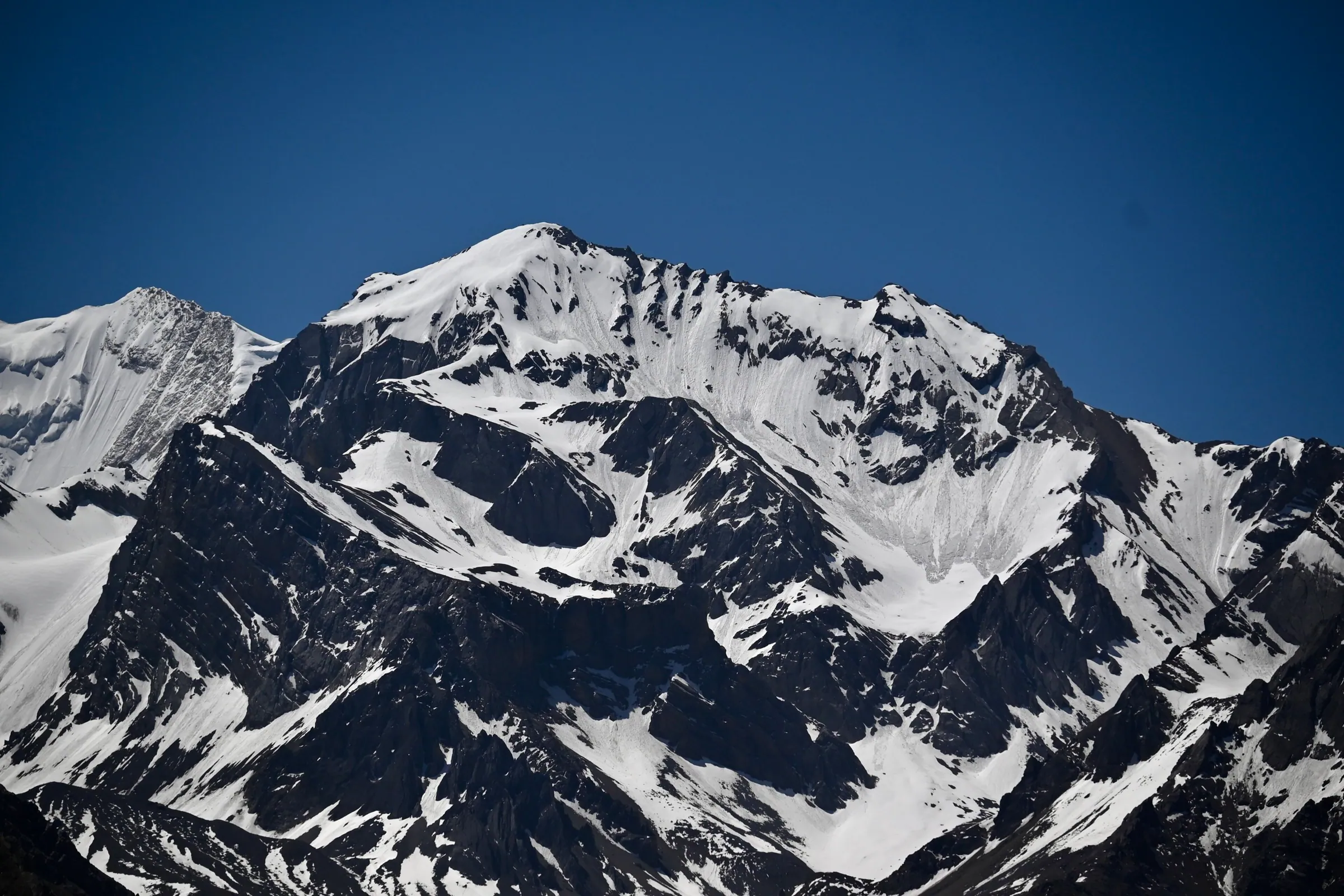
Om Parvat rises above Nabhidhang at the head of the Vyas valley in Pithoragarh district, Uttarakhand, and the road up to it runs from Gunji, about 648 km from Delhi. The Om you have seen in photographs is snow settled into the rock face. It is a drive, not a trek, on the same Inner Line Permit as Adi Kailash, which puts it within reach of families bringing elderly parents.
By Nivedita Verma, of the Adi Kailash Explore teamAsk us on WhatsApp
TL;DRThe post in 5 lines
- The Om is snow and nothing else, so a thin year can leave the strokes broken or missing; the belief behind the shape and the August 2024 bare face are told in the Om Parvat story.
- Adi Kailash Explore lodges the Inner Line Permit for Om Parvat at SDM Dharchula ahead of arrival, and travellers bring a government photo ID along with passport-size photographs.
- May to November is the departure window, and the fare runs ₹26,300 a person over 5 days starting at Haldwani, ₹30,300 over 6 days starting at Delhi and ₹18,600 over 4 days starting at Pithoragarh.
- Nothing on the Om Parvat route sleeps higher than Gunji, 3,200 m; a day is set aside to acclimatise and oxygen rides in the vehicles.
- One trip covers Adi Kailash at Jolingkong, about 4,500 m, and Om Parvat at Nabhidhang, plus the Mount Kailash view from Lipulekh, over 5,000 m, when the road is cleared.
Key facts
- Location
- Nabhidhang, Vyas valley, Pithoragarh district, Uttarakhand
- Distance from Delhi
- About 648 km to Gunji, then up the valley
- Starting points
- Pithoragarh, Haldwani or Delhi
- Days needed
- 4 to 6 days, there and back
- Best months
- May to November
- Permit
- Inner Line Permit, filed by us at SDM Dharchula
- Walking
- Driven route, short walks at the darshan points
- Highest night
- Gunji, 3,200 m
- Cost
- ₹26,300 a person from Haldwani
Where is Om Parvat, and how do you reach it?
Om Parvat sits in the Vyas valley of Pithoragarh district, Uttarakhand, with the viewing point at Nabhidhang, which the road reaches up from Gunji on the same Inner Line Permit that covers Adi Kailash.
Om Parvat is not a temple you walk up to. It is a mountain face you stand in front of, from a place called Nabhidhang near the head of the Vyas valley, where snow settles into the rock in the shape of ॐ.
The road does the work. Out of Gunji, your bed for the night at 3,200 m, it threads past Kalapani and Nag Parvat up to Nabhidhang, and each Adi Kailash package spends its final high-valley day on exactly that stretch. No climb, no Chinese visa, no lottery: Om Parvat is inside India.
One paper covers you: the Inner Line Permit that SDM Dharchula issues for these border valleys. We file it ahead of your arrival, and your side of it is a government photo ID plus passport-size photographs. The same permit covers Adi Kailash, which is why both mountains sit on one trip: Adi Kailash & Om Parvat, 5 days from Haldwani.
Why does the mountain show an Om?
The Om is snow settling into hollows in the rock face, so what travellers see from Nabhidhang is snow lying against dark rock, not a carving.
Nobody put it there. The face holds hollows and folds, snow gathers in them, and from Nabhidhang the filled and unfilled parts read as ॐ. Because the shape is snow, it is a living thing rather than a fixed one: fresh snow thickens the strokes, and a thin year leaves them broken.
The belief behind the shape, the names attached to it and the claims about who first recorded it sit together in the Om Parvat story, from belief to the month it vanished.
When is the Om clearest to see?
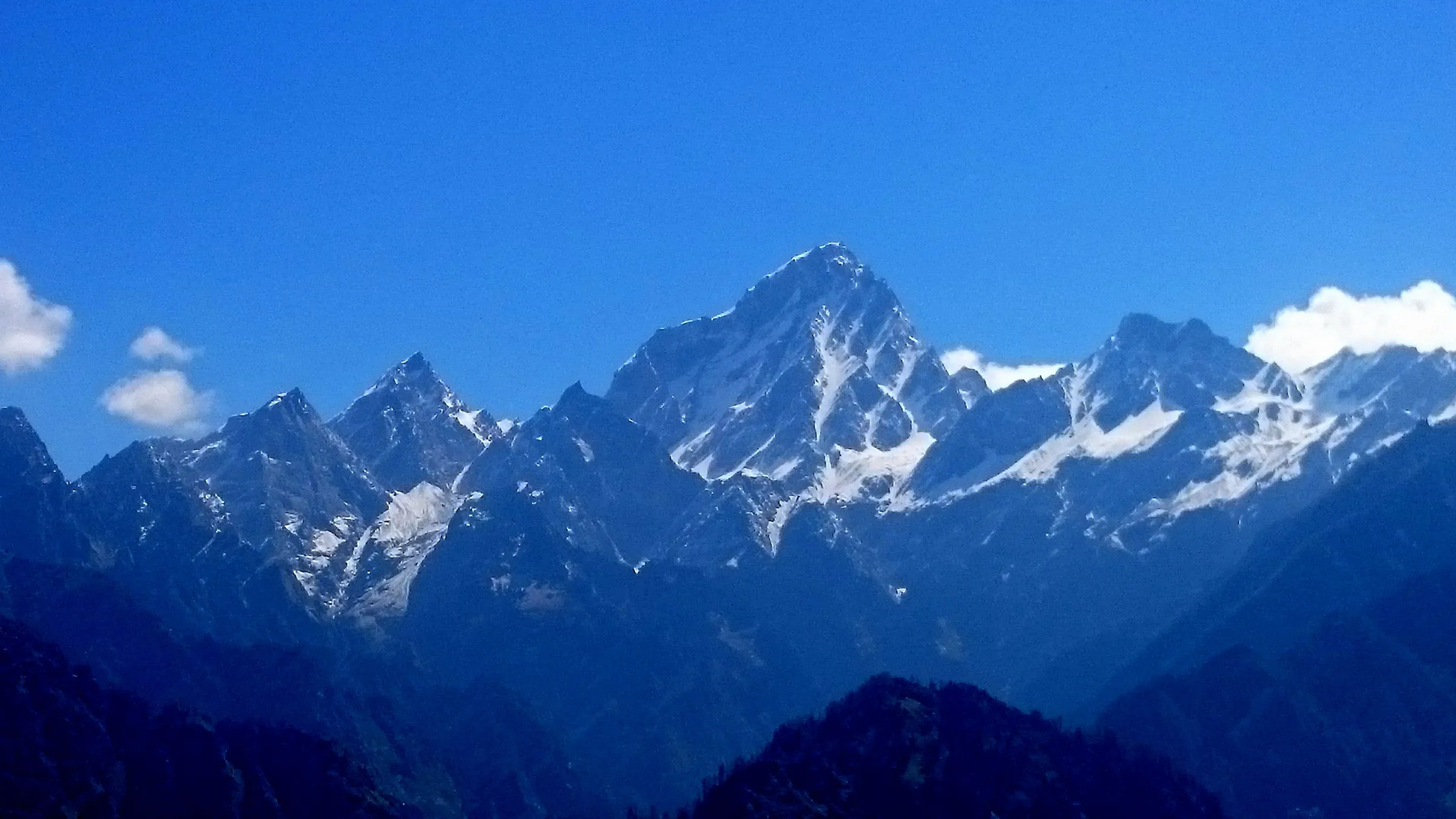
Departures run May to November, and how complete the Om looks depends on that season's snow, so travellers are told what the face is showing in the week they ask.
Vehicles are on this road every week of the season, and that teaches one plain thing worth saying out loud: the face changes, so no month is promised here. In a thin snow year parts of the shape can be broken or missing, and what you stand in front of is still the same rock face, the same border ridge, the same silence.
The sharpest example on record is August 2024, when the snow melted out of the face and the ॐ was gone until fresh snow fell. That fortnight, and what the record says since, is set out in the month the Om was not there.
Om Parvat location: the map, and the distance from Gunji and Dharchula
Om Parvat is seen from Nabhidhang above Gunji, and Gunji itself is about 80 km from Dharchula and about 168 km from Pithoragarh by road.
Follow the Kali upstream and the valley does the explaining for you. Dharchula sits at 908 m in the heat. Gunji sits at 3,200 m in thin, cold air. Between the two the road climbs through Chialekh and Garbyang, narrows where the river cuts, and your permit is checked on the way.

| Leg | km (OpenStreetMap) |
|---|---|
| Delhi to Pithoragarh | 480 |
| Pithoragarh to Dharchula | 91 |
| Dharchula to Gunji | 80 |
| Pithoragarh to Gunji | 168 |
| Gunji to Kalapani | 10 |
Gunji to Om Parvat
Nabhidhang is the short last leg beyond Kalapani, which itself is about 10 km from Gunji, and it is driven, not walked.
Dharchula to Om Parvat
Dharchula to Gunji is about 80 km by road, and Nabhidhang is a further short climb up the valley from there.
Is Om Parvat in India or in Nepal?
In India: Om Parvat, like Adi Kailash, lies inside Pithoragarh district in Uttarakhand, and an Inner Line Permit is the only clearance either asks for.
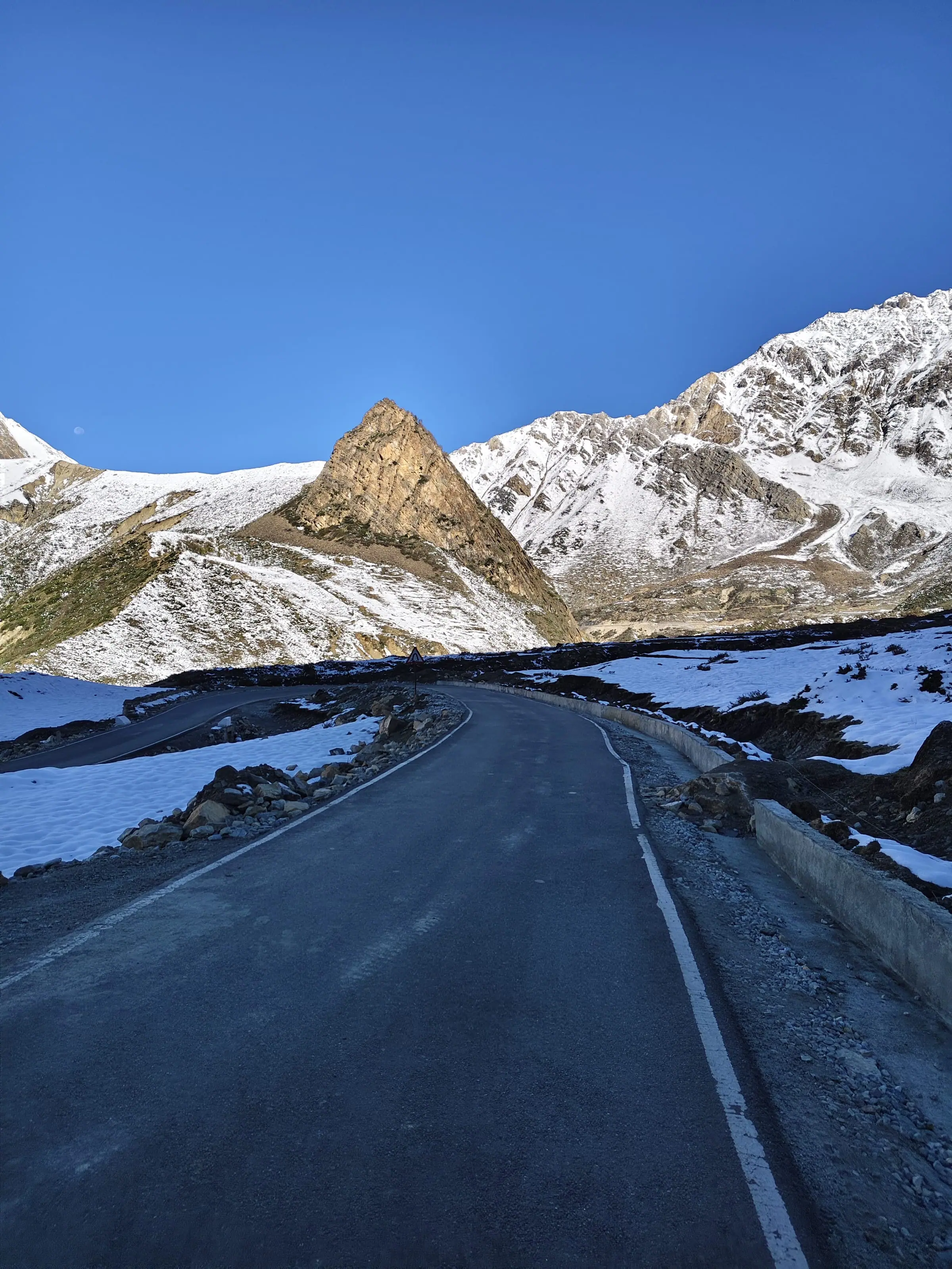
Ask us on WhatsApp for the Gunji to Nabhidhang leg and the state of the road this week.
How to reach Om Parvat: the day at Nabhidhang
Om Parvat is reached on the third or fourth day of an Adi Kailash trip, driving up from Gunji to Nabhidhang, then Lipulekh, then down through Kalapani.
The Om Parvat day starts from your room at Gunji or Nabhi, in cold that takes a while to leave your hands. The vehicle climbs. Nag Parvat stands on the way. Then the road turns and Nabhidhang gives you the face, with the ॐ in it.
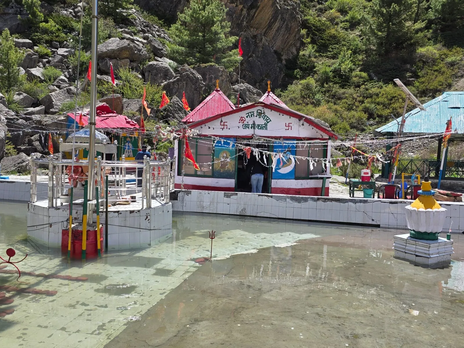
Beyond Nabhidhang the same road climbs to Lipulekh, over 5,000 m, where Mount Kailash comes into view on days the authorities allow it. The way back halts at Kalapani for a group havan, the Kali Mandir with Vyas Gufa facing it, and Hanuman Parvat standing along the road. By night you are back down in Pithoragarh.
Is there an Om Parvat trek?
No trek is needed: the road reaches the view point at Nabhidhang, and the day asks altitude of you rather than fitness.
How to reach Om Parvat from Delhi
Six days there and back on our Delhi package: Pithoragarh, Gunji, Jolingkong for Adi Kailash, then Nabhidhang for Om Parvat.
- Day 1: a 6 am start out of Delhi, driving through to Pithoragarh, 1,645 m.
- Day 2: permit work in the morning, then up the valley to Gunji.
- Day 3: first light at Jolingkong, with Adi Kailash and Parvati Sarovar.
- Day 4: Om Parvat from Nabhidhang, on to Lipulekh, back through Kalapani and down to Pithoragarh.
By road Tanakpur is the nearer railhead: about 147 km to Pithoragarh, against about 183 km from Kathgodam, the railhead beside Haldwani. The nearest airport is Naini Saini at Pithoragarh, though its scheduled flights have come and gone: Alliance Air flew in from Delhi from 7 November 2024 and a 42-seat Dehradun service restarted three days a week on 26 March 2026. Pantnagar, on the plains near Haldwani, is the other airport travellers use. Pickup and drop-off are included from whichever city your package names. If you would rather read the road leg by leg, the route and distances from Delhi are set out here.
Om Parvat and Adi Kailash on one trip
Yes: both stand in the same border valley on one Inner Line Permit, with Adi Kailash at Jolingkong one day and Om Parvat at Nabhidhang the next.
This is the thing many pages bury. You do not choose between them. From Gunji, Jolingkong lies about 36 km up one arm of the valley for Adi Kailash; Nabhidhang lies up the other for Om Parvat. Two mornings, one permit, one vehicle, one price.
Is Om Parvat the same as Adi Kailash?
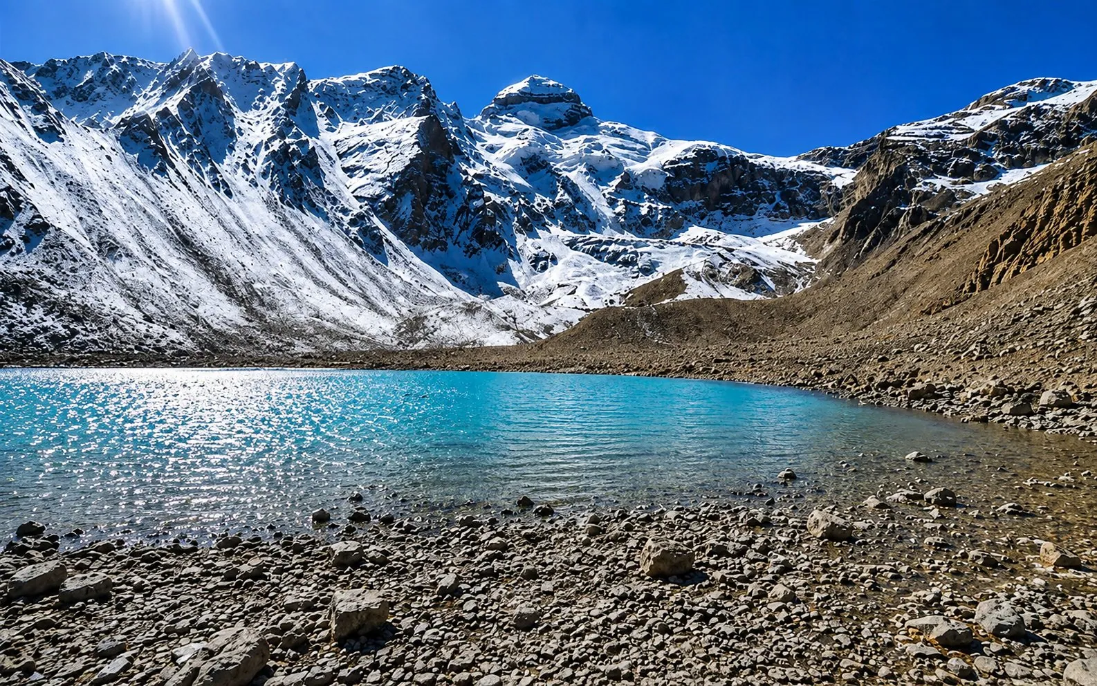
No: they are two different mountains, a day apart, with Adi Kailash rising to 6,191 m above Parvati Sarovar at Jolingkong.
Is Om Parvat the same as Mount Kailash?
No: Mount Kailash stands in Tibet, and from Lipulekh, over 5,000 m, it can be seen from Indian soil when the route is cleared.
The Army and ITBP clear the Lipulekh road on the day. Should it stay shut, Om Parvat and Kalapani still fill that day, and you hear it from us at booking rather than afterwards. The mountain itself is covered in our guide to Adi Kailash, its height and its temple.
Ask us what the Lipulekh view point needs this season before you count on it.
How much does the Adi Kailash Om Parvat yatra cost?
From Haldwani it is ₹26,300 a person across 5 days, from Delhi ₹30,300 across 6 days, and from Pithoragarh ₹18,600 across 4 days.
All three take in Nabhidhang for Om Parvat, Jolingkong for Adi Kailash and Lipulekh for the Mount Kailash view. What changes is where you get in.
- From Haldwani: ₹26,300 a person, 5 days and 4 nights.
- From Delhi: ₹30,300 a person, 6 days and 5 nights.
- From Pithoragarh: ₹18,600 a person, 4 days and 3 nights.
Inside that figure sit transport over the whole route, hotel and homestay nights, breakfast and dinner, a government-certified guide, the permit work, and the driver allowance with tolls and parking. Lunch and personal expenses are yours. Homestays bring it down, Premium rooms or a private vehicle push it up, and every traveller added lowers the per-person rate, up to 25% off from 6 people onward.
₹5,000 holds a seat, the receipt and batch confirmation reach you that same day, and the balance is settled in writing nearer the departure date. The full cost breakdown from Delhi and Haldwani is here.
Om Parvat temperature and weather
There is no weather station at Nabhidhang; the nearest reliable figures are Gunji's, where May nights average 1°C and October nights 0°C.
Nabhidhang sits well above Gunji, so read the table below as the warm end of what you will feel. The wind at the view point is its own argument: bring the layer you think you will not need.
| Month | Day high | Night low | Frost nights |
|---|---|---|---|
| May | 12°C | 1°C | 10 |
| June | 16°C | 8°C | 0 |
| July | 18°C | 12°C | 0 |
| August | 17°C | 12°C | 0 |
| September | 16°C | 8°C | 0 |
| October | 11°C | 0°C | 14 |
The monsoon owns July and August, with 479 mm falling on Gunji in July by itself, and the high road answers to the weather right through the season. Closure can come from the authorities with very little warning. There is no charge for days that cannot be run.
Snow on the face keeps roughly the same calendar as that rain. No authority publishes best months for the ॐ. The thin spells come at the end of the monsoon, when the melt has had longest to work. By 16 August 2024 the shape had gone altogether. It came back only after a night of fresh snow, and reports at the time called it the first bare face in about two decades. Cold on its own is no guarantee either. In a dry winter the rock shows through, and Amar Ujala on the black hills of Om Parvat, 22 January 2026 described exactly that. For October 2026 dates the fair reading is simple. The cold has usually returned by then, and fresh snow tends to thicken the strokes. The week you travel decides it, not the month.
Say plainly what your body is carrying before you book. Heart or lung trouble, blood pressure or diabetes that is not under control, pregnancy, a recent operation: name it to us, and you get a straight answer back if there is any concern. The gain in height is gradual, an acclimatisation day sits in the plan and oxygen goes in the vehicles, but altitude is still altitude. Month by month weather and the best time to go goes further into it.
Who made Om Parvat, and what is the story?
Nobody made it: the ॐ is snow lying in the rock of the face, and the telling, the naming and the discovery claims are weighed on the story page.
What is not in doubt is what a traveller goes for. A face of rock on the Indian side of the border, snow gathered into a form people have prayed towards for generations, and a havan at the Kali Mandir at Kalapani on the way back down.
For the Shiva story, the early-abode belief and the discovery claims checked one by one, read the Om Parvat story, belief and history.
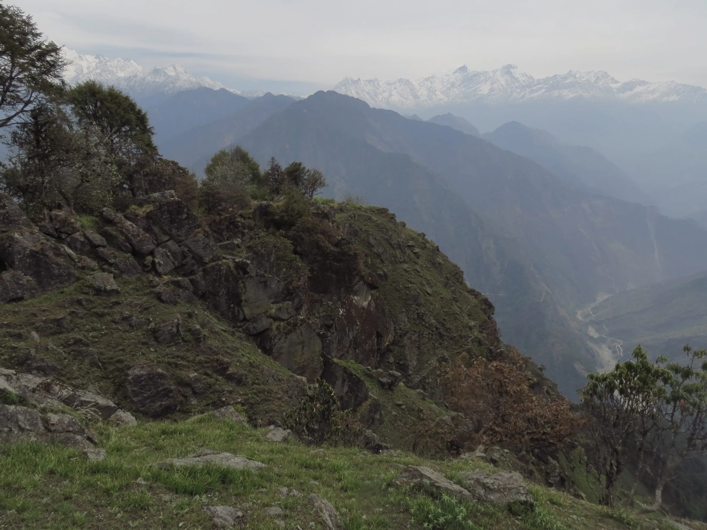
Om Parvat photographs
The Om Parvat photographs on this page are Adi Kailash Explore's own, made at Nabhidhang on its departures, and each is named for the place it shows.
We keep one rule about pictures, the same one we ask of creators who work with us: the photograph is of the place it names. No stock peak standing in for Om Parvat, no borrowed frame from another valley.
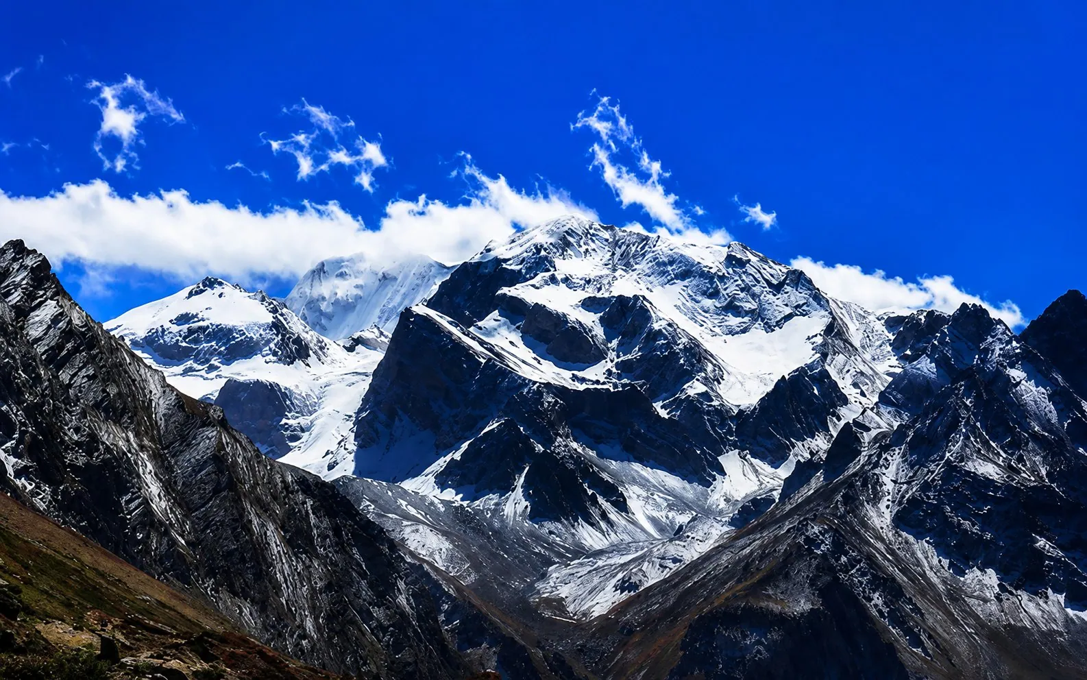
That matters here more than on most pages, because the face changes with the snow. A frame from a heavy year and a frame from a thin one are both true, and neither one is a promise about the week you travel.
Questions travellers ask
Adi Kailash Explore does not publish a height for Om Parvat, because it does not yet have a figure from a source it can cite, and a guessed number helps nobody. The heights we can stand behind on this route are Adi Kailash at 6,191 m, Gunji at 3,200 m where you sleep, Jolingkong at about 4,500 m and Lipulekh at over 5,000 m.
Yes. The view point is Nabhidhang, up the road from Gunji, and each of our Adi Kailash packages makes that drive on its final day in the high valley. You need the same Inner Line Permit as Adi Kailash, which we file before you arrive. The vehicle does the distance; you walk only at the darshan points.
Adi Kailash Explore does not publish a helicopter price, because what it runs is the road journey: Pithoragarh, Gunji, Jolingkong and Nabhidhang by vehicle, with its own drivers and its own permit work. Still set on a helicopter leg? Send us your dates and you get a straight account of what that season allows, not a quote for something we could not deliver.
For most, yes. The circuit is covered by vehicle rather than on foot, the highest overnight halt is Gunji or Nabi, 3,200 m to about 3,290 m, a day is set aside to acclimatise and oxygen goes in the vehicles. Flag any heart, lung or blood-pressure condition to us up front, and you hear plainly whether it worries us. Nights at Jolingkong go below freezing even in June.
Yes: the district's permit portal lists a medical fitness certificate from a registered medical practitioner and a self-declaration affidavit among the Inner Line Permit documents, with formats to download. Check the steps to get the ILP for your dates, since requirements can change by season. We file the permit ahead of your arrival with your government photo ID, photographs and those two documents. This season's document list sits in the Inner Line Permit guide, and the filing stays ours to do regardless.
Weather rules the Gunji road, and the authorities can shut it with very little warning. If a leg has to be dropped, we shift to alternatives within the same valley and tell you as soon as word reaches us. Days that cannot run are not billed, and if an entire departure is called off you pick either a full refund or a fresh date.
Yes, in August 2024. The face was bare by 16 August 2024, the first such year in about two decades. The ॐ came back only after fresh snow fell on the night of 25 August 2024. The strokes were still thin on 2 September 2024. The Northern Gazette on the bare face and the snowfall that ended it covers both halves of that fortnight. Ask what the face shows in the week you plan to travel, rather than reading a month as a guarantee.
Very likely yes, though nobody can forecast a particular week. October is usually when the cold has settled back into the valley, with Gunji nights averaging 0°C. Fresh snow at that height tends to fill the strokes rather than thin them. The record cuts both ways: the ॐ vanished in mid-August 2024, and one night's snowfall on 25 August 2024 restored it. In January 2026 reports described the slopes as black for want of snow. Check the state of the face close to your dates.
How we made this guide
The figures on this page are filled in from data each time it is built, never typed by hand: prices, days and nights from our package pages; road distances from OpenStreetMap, measured by a router (retrieved 22 September 2026); heights from Wikidata, the Copernicus 90 m elevation model and the heights this site publishes; temperatures from 30-year ERA5-Land climate normals, modelled rather than measured at a weather station. If anything here is out of date, tell us on WhatsApp and we will correct it.
- Adi Kailash & Om Parvat: itinerary and price
- Adi Kailash from Delhi: itinerary and price
- Adi Kailash, short route: itinerary and price
- OpenStreetMap contributors, routed with OSRM: road distances · retrieved 22 September 2026
- Wikidata: published elevations · retrieved 24 September 2026
- Copernicus GLO-90 elevation model, via Open-Meteo (heights given as about) · retrieved 24 September 2026
- ERA5-Land climate normals 1991–2020, ECMWF, via Open-Meteo · retrieved 22 September 2026
- The Hindu: first commercial flight lands at Naini Saini airport (7 November 2024) · retrieved 26 September 2026
- ThePrint: Dehradun to Pithoragarh flight service flagged off (26 March 2026) · retrieved 26 September 2026
- District permit portal: steps to get the ILP (read 25 September 2026) · retrieved 26 September 2026
- बर्फ पिघलने से ओम पर्वत से गायब हुआ ॐ (Amar Ujala) · retrieved 8 October 2026
- बर्फबारी से ओम पर्वत पर फिर दिखने लगा ऊँ (Amar Ujala) · retrieved 8 October 2026
- Fresh snowfall brings sigh of relief as snow had disappeared from 'Om Parvat' first time in two decades (The Northern Gazette) · retrieved 8 October 2026
- The hills of Om Parvat and Adi Kailash turn black in the snowfall season (Amar Ujala) · retrieved 8 October 2026
About Adi Kailash Explore
Adi Kailash Explore (adikailash.io) is a tour operator based in Pithoragarh, Uttarakhand, that specialises in one route: Adi Kailash and Om Parvat, the Darma valley and Munsiyari. It runs departures from Delhi, Haldwani and Pithoragarh, and its team files the Inner Line Permit for every Adi Kailash traveller at SDM Dharchula. It is recognised by Uttarakhand Tourism, certified by MSME, Govt. of India (UDYAM-UK-09-0012927) and verified on the NIDHI Portal, and was founded by Vinay Verma. Why travel with us
Keep reading
All postsAdi Kailash13 min readAdi Kailash, Uttarakhand: The Kailash You Can Drive To
Adi Kailash asks no trekking: the road reaches Jolingkong, about 4,500 m, with short walks at the top. Adi Kailash Explore add an acclimatisation day. Adi Kailash12 min read
Adi Kailash Route: Delhi to Jolingkong, Leg by Leg
How to reach Adi Kailash means driving, not trekking: the road runs to Jolingkong at about 4,500 m. Adi Kailash Explore note where the short walks begin. Adi Kailash16 min read
Adi Kailash Weather and Temperature: Today and by Month
Adi Kailash weather now and for 7 days at Jolingkong, Om Parvat and Gunji; in May Gunji runs 12°C by day. Adi Kailash ExploreThe day-by-day plan
Download the Adi Kailash itinerary for free.
5 days and 4 nights from Haldwani, as an 18-page PDF on WhatsApp.Adi Kailash & Om Parvat from Haldwani: 5 days and 4 nights, as an 18-page PDF on WhatsApp. Forward it to your family, then ask us anything.
One WhatsApp message. Free, in Hindi or English.Or call +91 76688 58311 · Hindi or English
Adi Kailash & Om Parvat from Haldwani
5 days, 4 nights · 18 pages
- Haldwanistart
- Pithoragarh
- Gunji
- Jolingkong
- Nabhidhang
- Lipulekh
- Kainchi Dham
- Back to Haldwani