Adi KailashUpdated 12 min read
The Adi Kailash route from Delhi to Jolingkong, leg by leg with the hours
Adi Kailash is reached by road, not on foot: Delhi, Kathgodam, Pithoragarh, Dharchula, Gunji, then Jolingkong at about 4,500 m, about 648 km of driving from Delhi to Gunji and a 6-day trip there and back. That shape suits families who bring elderly parents along, and anyone after the high border road where the only walking comes in short stretches at the top.
By Deepak Yadav, of the Adi Kailash Explore teamAsk us on WhatsApp
TL;DRThe post in 5 lines
- Vyas valley travel turns on an Inner Line Permit from SDM Dharchula, filed by Adi Kailash Explore before travellers arrive, with photo ID checked at the posts en route.
- Adi Kailash trips run 6 days from Delhi at ₹30,300 a person, 5 days from Haldwani and 4 days from Pithoragarh, all reaching Jolingkong and Nabhidhang, and Lipulekh when the road is cleared.
- Public transport gets you as far as Dharchula: trains to Kathgodam or Tanakpur, flights to Pantnagar or Naini Saini, then buses and shared jeeps whose pattern changes week by week.
- Gunji or Nabi, 3,200 m to about 3,290 m, is the highest night on the route, with an acclimatisation day built into the plan and oxygen carried in the vehicles.
- Departures run May to November, and above Dharchula the nights fall below freezing even in May, so warm layers belong in the bag whichever month you drive up.

Key facts
- Location
- Vyas valley, Pithoragarh district, Uttarakhand
- Altitude
- Jolingkong about 4,500 m; highest night Gunji or Nabi, 3,200 m to about 3,290 m
- Distance from Delhi
- About 648 km by road to Gunji
- Starting points
- Delhi, Haldwani or Pithoragarh
- Days needed
- 6 days from Delhi, 4 days from Pithoragarh
- Best months
- May to November
- Permit
- Inner Line Permit, issued at SDM Dharchula
- Walking
- Short walks at Jolingkong and Parvati Sarovar
- Cost
- ₹30,300 a person from Delhi
How do you reach Adi Kailash?
You drive: Delhi to Kathgodam, Pithoragarh, Dharchula, Gunji and finally Jolingkong at about 4,500 m, about 648 km from Delhi to Gunji.
There is no flight to Adi Kailash and no long trek in from a road head. The whole thing is a road journey. Plains first, then the climb into Kumaon, then the Kali river at Dharchula, and from there the border valley carries you up to a wide, cold basin at Jolingkong, with Adi Kailash standing above Parvati Sarovar.
- Delhi to Kathgodam, the railhead in the Kumaon foothills
- Kathgodam to Pithoragarh, 1,645 m, the town we run the road from
- Pithoragarh to Dharchula, 908 m, down on the Kali river: the SDM office here is where the Inner Line Permit is issued
- Dharchula to Gunji, 3,200 m, the highest place you sleep
- Gunji to Jolingkong, about 4,500 m, for Adi Kailash darshan at first light
- Gunji to Nabhidhang for Om Parvat, and on to Lipulekh, over 5,000 m, for the Mount Kailash view if that day's permission comes through
On the way the plan matters more than the map. Travellers reach Gunji on day 2, spend two nights up there and come down the same road. Paperwork goes in ahead of your arrival, not on the morning you hope to set off, and the posts check your photo ID where the road narrows above the river. The Inner Line Permit guide walks you through the paperwork.
Leg by leg: distances, hours and the kind of road
Delhi to Kathgodam is about 292 km in 8 to 9 hours, Kathgodam to Pithoragarh about 183 km in 5 to 6 hours, Pithoragarh to Dharchula about 91 km in 3 to 4 hours.
The character of the road changes four times. Highway to the foothills, then a hill road with switchbacks up to Pithoragarh, then a drop to the Kali river at Dharchula, and above Dharchula a border road cut into the gorge with checkposts on it.
| Leg | km (OpenStreetMap) | Hours | The road |
|---|---|---|---|
| Delhi to Kathgodam | 292 | 8 to 9 hours, or the overnight train | Highway across the plains |
| Kathgodam to Pithoragarh | 183 | 5 to 6 hours | Hill road climbing through Kumaon |
| Pithoragarh to Dharchula | 91 | 3 to 4 hours | Hill road down to the Kali river |
| Dharchula to Gunji | 80 | Ask us for this season's timing | Border road above the Kali, permit checks en route |
| Gunji to Jolingkong | 36 | Ask us for this season's timing | High valley track past Nabi and Kuti |
| Gunji to Kalapani | 10 | Ask us for this season's timing | Short high run towards Nabhidhang |
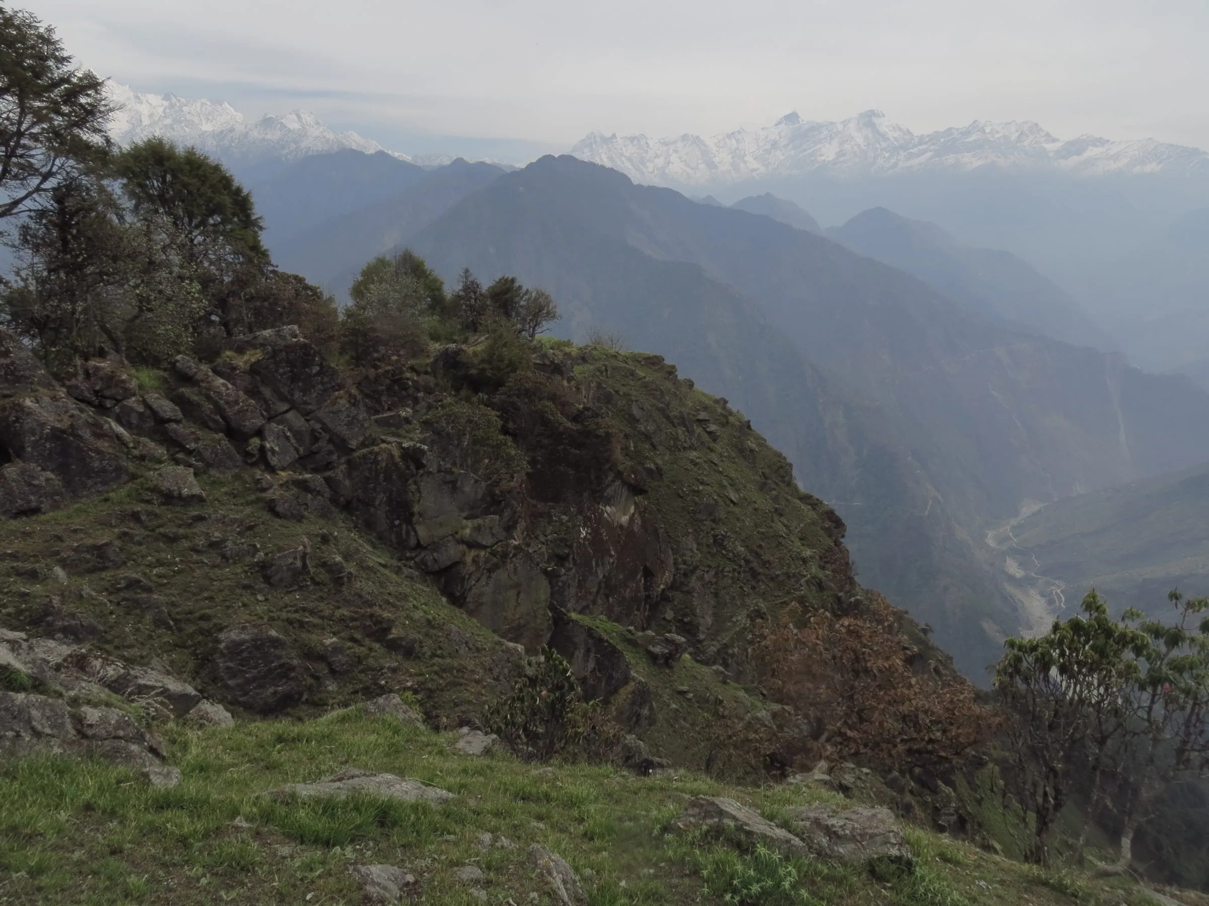

Two useful shorthands for planning. From Delhi it is about 480 km to Pithoragarh and about 570 km to Dharchula. From Kathgodam, the railhead beside Haldwani, it is about 273 km, and from Tanakpur, nearer by road up the eastern side, about 238 km.
Before you book, ask us how the road above Dharchula is running this week.
Where should you start: Delhi, Haldwani or Pithoragarh?
From Delhi the trip takes 6 days, from Haldwani 5 days and from Pithoragarh 4 days, all reaching Jolingkong, Nabhidhang and Lipulekh.
The road above Dharchula is the same for everyone. What changes is how much of the approach you buy and how many days you take off work.
- From Delhi, 6 days and 5 nights, ₹30,300 a person: Pithoragarh, Gunji, Jolingkong, Nabhidhang, Lipulekh, Jageshwar
- From Haldwani, 5 days and 4 nights, ₹26,300 a person: Pithoragarh, Gunji, Jolingkong, Nabhidhang, Lipulekh, Kainchi Dham
- From Pithoragarh, 4 days and 3 nights, ₹18,600 a person: Gunji, Jolingkong, Nabhidhang, Lipulekh, Shera Deval
If you can travel to Kathgodam by the overnight train, the Haldwani start saves you a day of highway driving and starts the trip in the hills. If you are flying into Delhi from another city, or bringing parents who would rather not change trains, the Delhi package picks you up and drops you back at the same point. Pithoragarh suits people already in Kumaon, or those who want the shortest way to the high valley.
By train, by air, by bus and by taxi
Tanakpur is the nearer railhead, about 238 km to Dharchula against about 273 km from Kathgodam, and Naini Saini at Pithoragarh is the nearest airport.
The overnight train from Delhi ends at Kathgodam, about 183 km short of Pithoragarh, and Haldwani beside it is where the 5-day trip starts. Pantnagar on the plains is the airport Adi Kailash Explore works with, while Naini Saini at Pithoragarh has had scheduled flights come and go. Buses and shared taxis do run in Kumaon, and what is moving above Dharchula changes with the month, the road and the weather.
On a package the transport for the full route is already in the price, driver allowance, tolls and parking inside it, so there is nothing to settle at a stand at night. If you would rather piece the journey together yourself, read doing the legs to Dharchula and beyond by bus and shared jeep.
How to reach Adi Kailash from Delhi by road
Leave Delhi at 6 am for Pithoragarh, about 480 km away, take the permit next morning and reach Gunji on day 2.
Day 1 is the long one and the least interesting: the plains, then the climb, then Pithoragarh in the Saur valley at 1,645 m with the Panchachuli peaks on its horizon. A quiet hill town to begin from rather than a city to pass through.
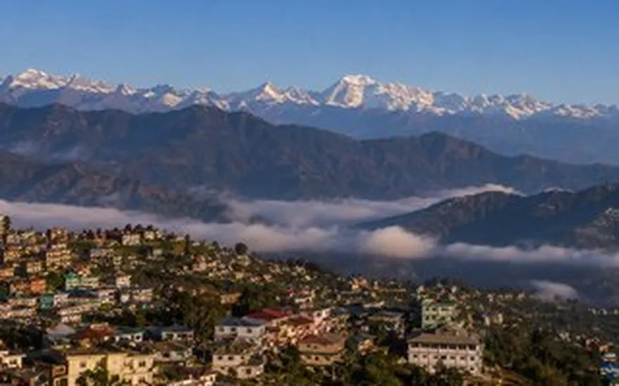
Day 2 starts at Dharchula, where the SDM's office issues the Inner Line Permit applied for online on the district permit portal, then turns up the valley through Chialekh and Garbyang to Gunji. Day 3 goes up to Jolingkong for first light: Adi Kailash, Parvati Sarovar and Gauri Kund. On day 4 it is Nabhidhang for Om Parvat, then Lipulekh for the Mount Kailash view if the authorities open that stretch, then back through Kalapani and down to Pithoragarh.
Coming back, the road gives you two stops worth the detour. Jageshwar Dham at 1,870 m, where about 125 old temples stand in one deodar grove, and Neem Karoli Baba's ashram at Kainchi Dham at 1,400 m, before the last run into Delhi. Laid end to end, those days are Adi Kailash from Delhi.
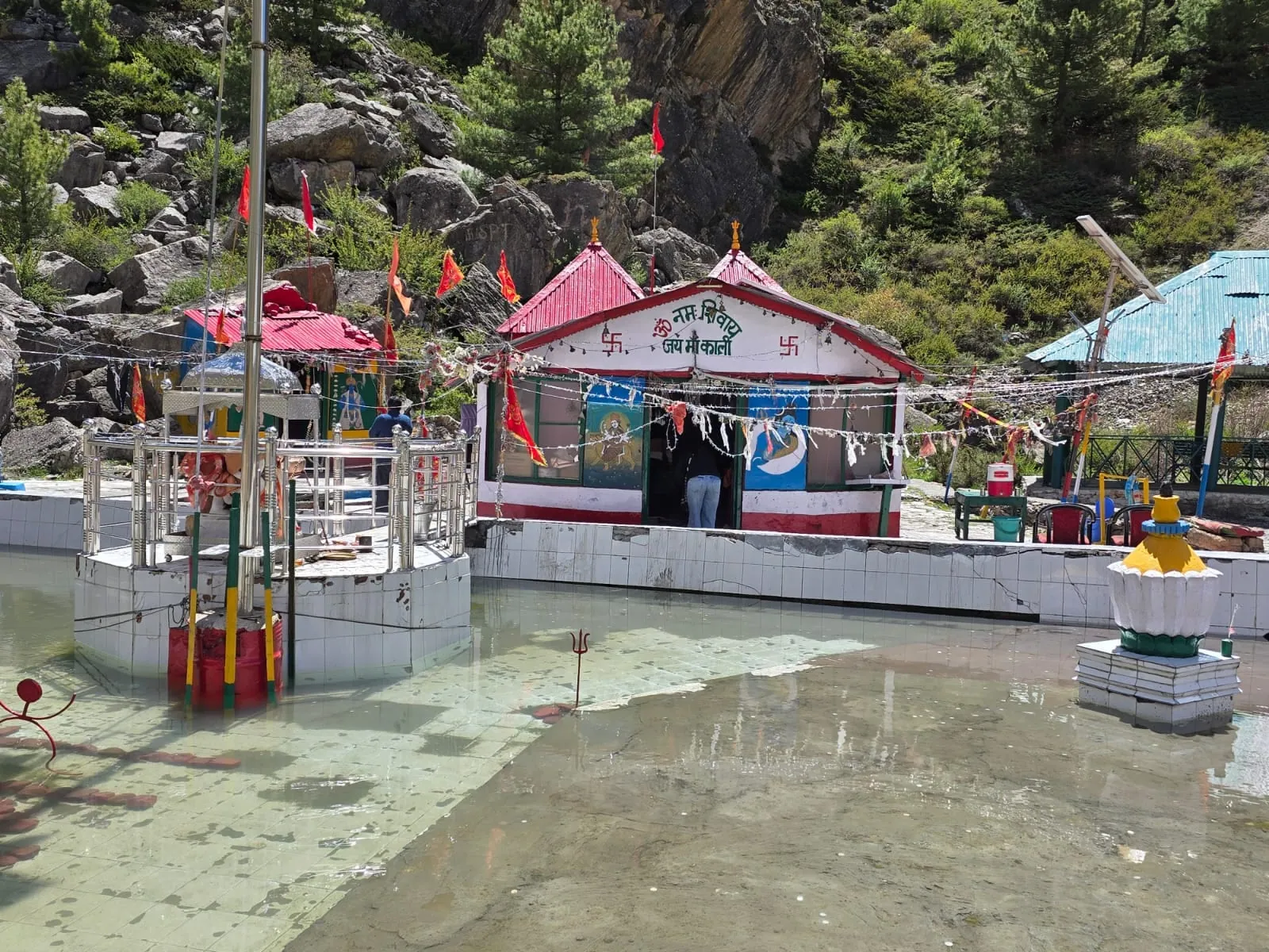
The high road above Dharchula: Gunji, Jolingkong and Nabhidhang
Above Dharchula at 908 m the road climbs to Gunji at 3,200 m, then about 36 km more to Jolingkong at about 4,500 m.
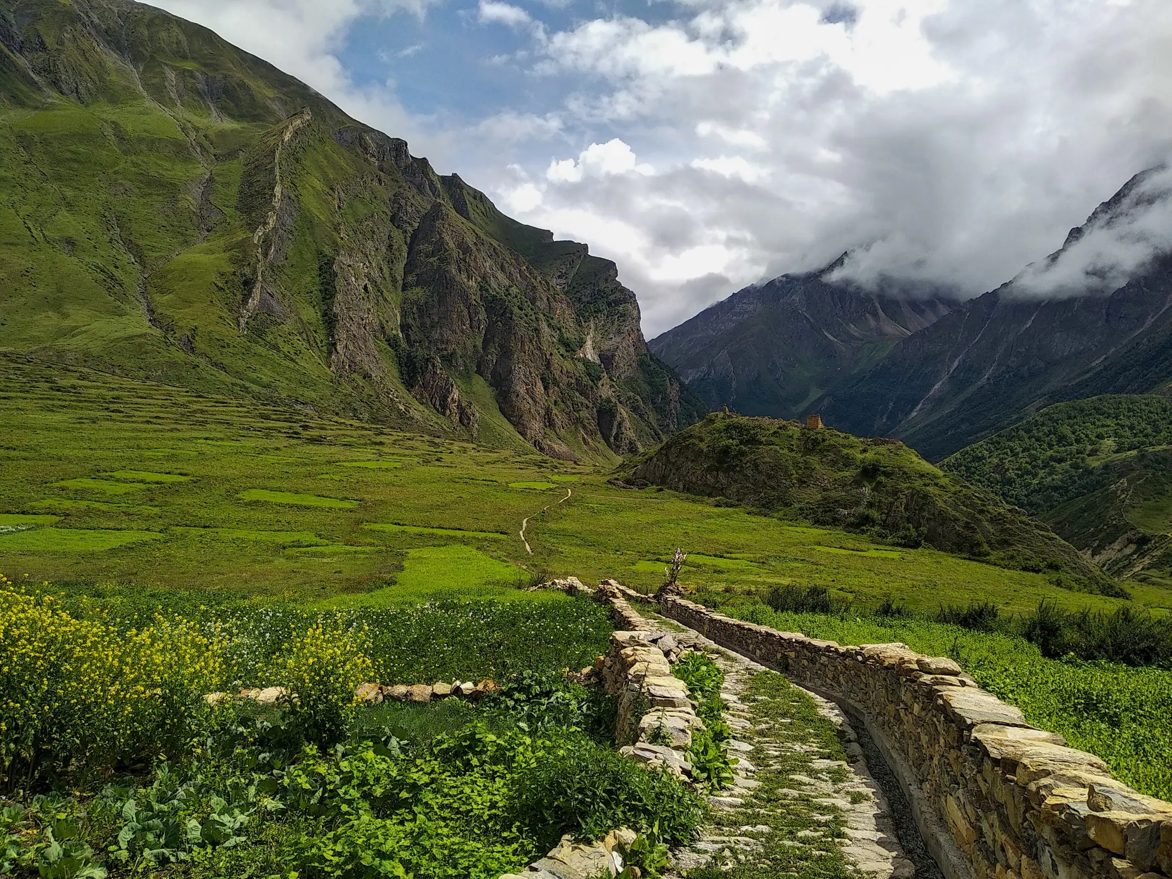
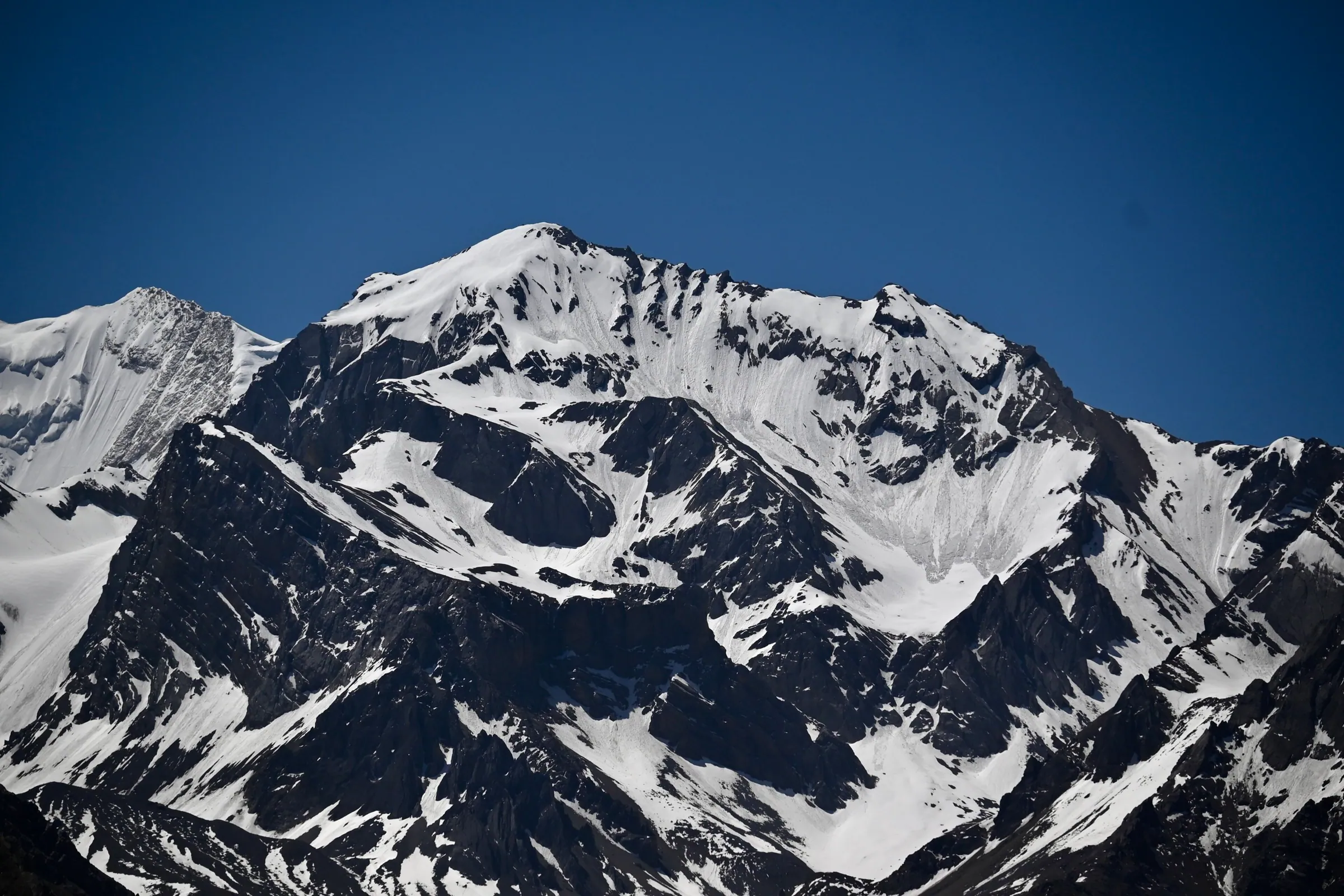
About 80 km of border road carry you from 908 m up to 3,200 m, cut into the gorge with the Kali running loud below and Nepal on the far bank, and permit checks on the way, so a government photo ID belongs in your pocket rather than in the bag on the roof. Past Gunji it is about 36 km to Jolingkong at about 4,500 m through Nabi and Kuti, and a short high run through Kalapani at about 3,600 m to Nabhidhang for Om Parvat, then Lipulekh at over 5,000 m when the Army and ITBP clear that stretch on the day.
Nights stay cold whichever month you drive up: Gunji in May sits near 1°C, so warm layers travel with you all season. For the surface, the slide zones, the blocks and what each stretch feels like from the seat, read the Dharchula to Gunji road, stretch by stretch.
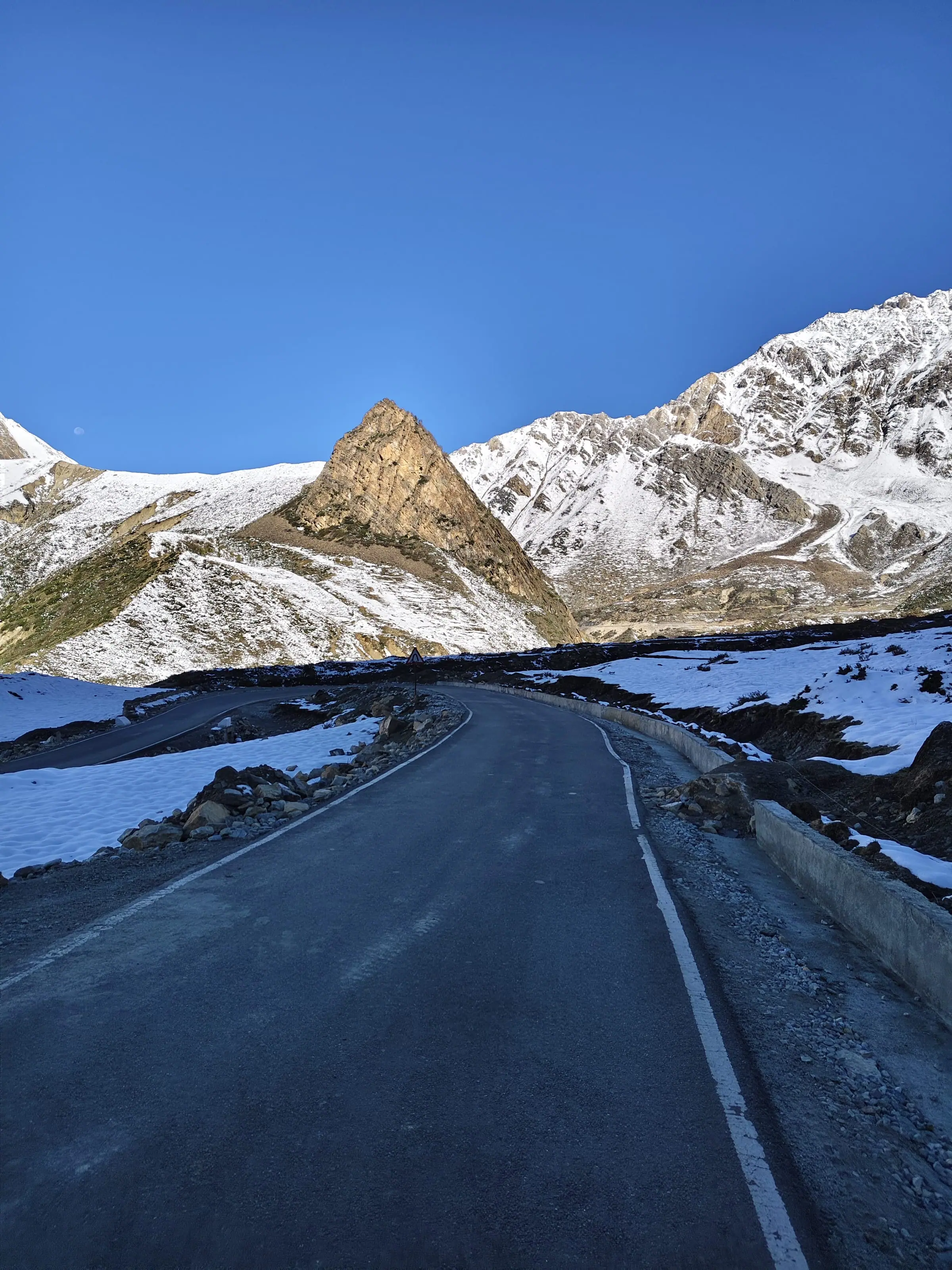
How much walking is there at Adi Kailash?
Adi Kailash Explore drives the route, leaving only short walks at the darshan points, and the highest night is Gunji or Nabi, 3,200 m to about 3,290 m, rather than a camp.
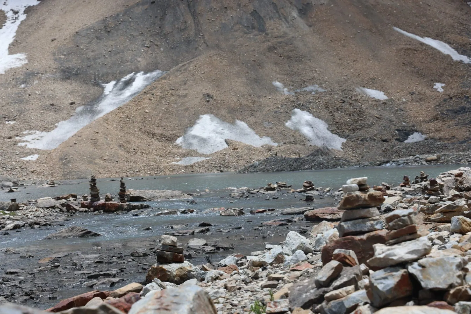
People search for the Adi Kailash trek distance and expect days of walking with a rucksack. There are none. The vehicle takes you to Jolingkong, and from where it stops you walk a short stretch on level, stony ground to Parvati Sarovar and the temple beside it. Those who wish take a dip in the lake. Gauri Kund and the Pandav Parvat ridge are close by on the same walk.
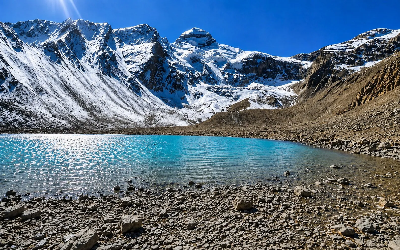
What the walk asks for is not fitness so much as patience with the air. At about 4,500 m a hundred metres of gentle slope feels like a flight of stairs. Go slowly, stop when you want to, and let the guide set the pace. Oxygen travels in the vehicles and an acclimatisation day is built into the plan. On the way back down there is Manokamna Temple at Nabi village, another short walk.
There is a proper morning's walk to Khaliya Top on the Munsiyari trip, and a day on foot towards Panchachuli Base Camp on the Darma trip. Adi Kailash is not that kind of trip: the walking stays short, and the road does the climbing.
Ask us how long the walk at Jolingkong takes for your family, and we will tell you plainly.
From Kolkata, Mumbai and Bangalore: how travellers join
Fly or take a train to Delhi and join the 6-day trip there, or reach Kathgodam and start from Haldwani, about 276 km from Dharchula.
The nearest airport to the Vyas valley is Naini Saini at Pithoragarh, and its scheduled flights have come and gone: Delhi from 7 November 2024, Dehradun again from 26 March 2026. Every traveller from a far city joins the road at one of two places, and both work well if you give yourself a night before the trip starts.
- Through Delhi: fly or train into Delhi, sleep there, and leave at 6 am on day 1 with the Delhi group. Simplest for Mumbai, Bangalore, Hyderabad, Ahmedabad and Chennai.
- Through Kathgodam: the overnight train from Delhi, or a flight to Pantnagar, then the Haldwani start. From Haldwani it is about 185 km to Pithoragarh.
- Already in Kumaon: begin at Pithoragarh, about 168 km from Gunji by road, and use the 4-day route.
Whichever of those cities your package names is where pickup and drop-off happen, and a solo traveller takes a seat on a shared departure rather than paying for a whole vehicle. The guides work in Hindi, English and Kumaoni, and a single Pithoragarh team stays with your thread from the first message until you are back home.
Side trips on the same road: Kainchi Dham, Jageshwar, Munsiyari, Darma
Jageshwar at 1,870 m and Kainchi Dham at 1,400 m sit on the return legs, while Munsiyari is about 125 km from Pithoragarh.
The drive back down is where the temples fit. On the Delhi route you stop at Jageshwar and then Kainchi Dham. From Haldwani the last day takes in Sera Deval (Shera Deval on some signs) near Pithoragarh and Kainchi Dham. The Pithoragarh route ends with Sera Deval and the Kamakhya Devi temple on the hill above the town, and time in the town's markets.
Two valleys nearby take a separate trip rather than an extra afternoon. Munsiyari sits about 125 km out of Pithoragarh and about 94 km from Dharchula, facing the Panchachuli wall, and Khaliya Top above it is a proper morning's trek. The Darma valley road leaves the Kali at Tawaghat, where the Dhauli Ganga joins it, and climbs past Sobla, about 37 km from Dharchula, to Dugtu and Dantu, with nights in Rung family homestays and a day on foot towards Panchachuli Base Camp.
Neither of them needs the Vyas valley permit or takes you to 3,200 m for the night, so they are different trips with different demands. Ask us if you want to put one after the other in a single run of leave.
Questions travellers ask
Yes. Every kilometre of it is driven: Pithoragarh up the Kali valley to Gunji, then Jolingkong for Adi Kailash and Nabhidhang for Om Parvat, with nothing more than short walks at the darshan points. That stretch needs an Inner Line Permit from SDM Dharchula, filed by Adi Kailash Explore before you arrive, and your photo ID is checked at the posts going up.
Anything from 4 to 6 days, set by your starting point: 4 days beginning at Pithoragarh, 5 days at Haldwani, 6 days at Delhi. All three get to Jolingkong for Adi Kailash, Nabhidhang for Om Parvat and Lipulekh for the Mount Kailash view, with the permit taken care of on the way up and an acclimatisation day written into the plan.
Jolingkong, where the darshan is done, is about 36 km from Gunji by road, climbing from 3,200 m to about 4,500 m past Nabi and Kuti village. Groups leave Gunji in the dark to be there at first light, walk the short stretch to Parvati Sarovar, and return to Gunji or Nabi for the night. Timings for the week you travel come from our drivers.
Haldwani to Dharchula is about 276 km by road, and Haldwani to Pithoragarh about 185 km, with the high valley beyond that. Counted in days instead of kilometres, the Haldwani trip is 5 days and 4 nights at ₹26,300 a person, with Gunji on day 2 and Jolingkong at first light on day 3.
Lipulekh stands at the head of the Vyas valley, over 5,000 m, and every Adi Kailash Explore package drives up to it from Nabhidhang on the Om Parvat day. The Army and ITBP clear that stretch on the day, so it depends on their permission and the weather. When it is open, Mount Kailash is visible from Indian soil on a clear morning.
Gunji, at 3,200 m, is reached by road from Dharchula, about 80 km up the Kali river, or about 168 km from Pithoragarh in a single day's driving. You need the Inner Line Permit for this stretch and a government photo ID for the checks. Most travellers sleep at Gunji or Nabi, the highest nights on the route.
Naini Saini at Pithoragarh is the nearest airport, though its scheduled flights have come and gone, and Pantnagar near Haldwani is the other airport travellers use; by road Tanakpur is the nearer railhead, about 238 km to Dharchula against about 273 km from Kathgodam. The overnight train from Delhi to Kathgodam saves you a day of highway driving and puts you in the hills by morning, which is why our Haldwani trip starts there. If you are flying in from another city, Delhi is usually the simpler join, with pickup included from there.
How we made this guide
The figures on this page are filled in from data each time it is built, never typed by hand: prices, days and nights from our package pages; road distances from OpenStreetMap, measured by a router (retrieved 22 September 2026); heights from Wikidata, the Copernicus 90 m elevation model and the heights this site publishes; temperatures from 30-year ERA5-Land climate normals, modelled rather than measured at a weather station. If anything here is out of date, tell us on WhatsApp and we will correct it.
- Adi Kailash from Delhi: itinerary and price
- Adi Kailash & Om Parvat: itinerary and price
- Adi Kailash, short route: itinerary and price
- OpenStreetMap contributors, routed with OSRM: road distances · retrieved 22 September 2026
- Wikidata: published elevations · retrieved 24 September 2026
- Copernicus GLO-90 elevation model, via Open-Meteo (heights given as about) · retrieved 24 September 2026
- ERA5-Land climate normals 1991–2020, ECMWF, via Open-Meteo · retrieved 22 September 2026
- The Hindu: first commercial flight lands at Naini Saini airport (7 November 2024) · retrieved 26 September 2026
- ThePrint: Dehradun to Pithoragarh flight service flagged off (26 March 2026) · retrieved 26 September 2026
- Amar Ujala: inner line permits to be issued online (20 February 2025) · retrieved 26 September 2026
- District permit portal, Pithoragarh · retrieved 26 September 2026
- News18 Hindi: Sera Deval temple and the king of Nepal · retrieved 26 September 2026
About Adi Kailash Explore
Adi Kailash Explore (adikailash.io) is a tour operator based in Pithoragarh, Uttarakhand, that specialises in one route: Adi Kailash and Om Parvat, the Darma valley and Munsiyari. It runs departures from Delhi, Haldwani and Pithoragarh, and its team files the Inner Line Permit for every Adi Kailash traveller at SDM Dharchula. It is recognised by Uttarakhand Tourism, certified by MSME, Govt. of India (UDYAM-UK-09-0012927) and verified on the NIDHI Portal, and was founded by Vinay Verma. Why travel with us
Keep reading
All postsAdi Kailash13 min readAdi Kailash, Uttarakhand: The Kailash You Can Drive To
Adi Kailash asks no trekking: the road reaches Jolingkong, about 4,500 m, with short walks at the top. Adi Kailash Explore add an acclimatisation day.Adi Kailash16 min readAdi Kailash Weather and Temperature: Today and by Month
Adi Kailash weather now and for 7 days at Jolingkong, Om Parvat and Gunji; in May Gunji runs 12°C by day. Adi Kailash ExploreAdi Kailash16 min readDharchula, Uttarakhand: The Last Ordinary Town North
Dharchula has no railway station and no airport: Tanakpur railhead lies about 238 km away by road. Adi Kailash Explore list the bus and taxi legs.The day-by-day plan
Download the Adi Kailash itinerary for free.
6 days and 5 nights from Delhi, as a 19-page PDF on WhatsApp.Adi Kailash & Om Parvat from Delhi: 6 days and 5 nights, as a 19-page PDF on WhatsApp. Forward it to your family, then ask us anything.
One WhatsApp message. Free, in Hindi or English.Or call +91 76688 58311 · Hindi or English
Adi Kailash & Om Parvat from Delhi
6 days, 5 nights · 19 pages
- Delhistart
- Pithoragarh
- Gunji
- Jolingkong
- Nabhidhang
- Lipulekh
- Jageshwar
- Back to Delhi