Adi Kailash16 min read
The Dharchula to Gunji road condition, stretch by stretch, in the order you meet it
Gunji sits about 80 km up the road from Dharchula. The road climbs from 908 m to 3,200 m. The distance is settled. The surface on your date isn't, and no page written in advance can settle it. So here is the road in the order you meet it, the stretches by name, what takes it out, and who in Dharchula actually knows.
By Vinay Verma, founder of Adi Kailash ExploreAsk us on WhatsApp
TL;DRThe post in 6 lines
- Dharchula to Gunji measures about 80 km by road, climbing from 908 m at Dharchula to 3,200 m at Gunji.
- Published distances for this drive differ because they stop at different villages and follow different alignments of the same road.
- What shuts this road is rain. Gunji's July averages 479 mm, its October 38 mm.
- The Adi Kailash road's season runs May to November, and today's status sits with the administration at Dharchula and the BRO, not with any written page.
- Adi Kailash Explore drives this road through the season and files the Inner Line Permit before travellers arrive, so ask for the week you travel.
- Past Gunji the road continues: Kalapani about 10 km, Jolingkong about 36 km, with short walks only at the darshan points.
Key facts
- Route
- Dharchula to Gunji, up the Kali valley past Tawaghat, Budhi and Garbyang
- Distance by road
- About 80 km
- Height at Dharchula
- 908 m
- Height at Gunji
- 3,200 m
- Pithoragarh to Gunji
- About 168 km
- Gunji to Jolingkong
- About 36 km
- Gunji to Kalapani
- About 10 km
- Season
- May to November, 1 May to 20 November
- Permit
- Inner Line Permit; the application is online on the district portal, and the office at Dharchula issues it
How far is Dharchula to Gunji, and how long does the drive take?
The road from Dharchula to Gunji runs about 80 km, and no honest drive time can be printed in advance.
Dharchula sits at 908 m, on the Kali. Your bed at Gunji is at 3,200 m. Between them lies about 80 km of road, and that figure is the easy part. The height, the surface and the weather are what make the day.
Big climb.
Why the published distances disagree
The figures differ because the measuring stops at different villages, and because an older figure may not have been measured on the alignment the road uses now.
Search this road and you'll be handed anything from the low seventies to over a hundred kilometres. Two things explain most of the spread. Where the measuring stops, for one: Nabi, Napalchyu and Gunji are different points on the same stretch. And an older figure may not follow the alignment the road is using now.
Why nobody can print the hours
Hours on this road depend on the surface that week, the BRO's work on it and the checks on the way up.
You'll see three to four hours on one page and six to eight on another. We don't publish an hour figure for this leg, because the only person who can give you one is the driver looking at the road that morning. What we can tell you is how to plan the day: finish the last climb in daylight, and keep nothing booked for the evening.
Message us on WhatsApp for the hours our drivers are taking on the Dharchula to Gunji leg this week.
When to leave Dharchula
Permit work happens in the morning at Dharchula, and the climb to Gunji follows it, which makes for an early start.
Day 2 of our Delhi trip takes you Pithoragarh to Gunji: permit work first thing, then the climb through Chhiyalekh and Garbyang. Pithoragarh to Gunji is about 168 km, so the day has a lot of road in it before the high stretch even begins.
If you're driving yourself, go early. A block in the morning leaves you choices. The same block at dusk leaves you none.
What the road is like, stretch by stretch
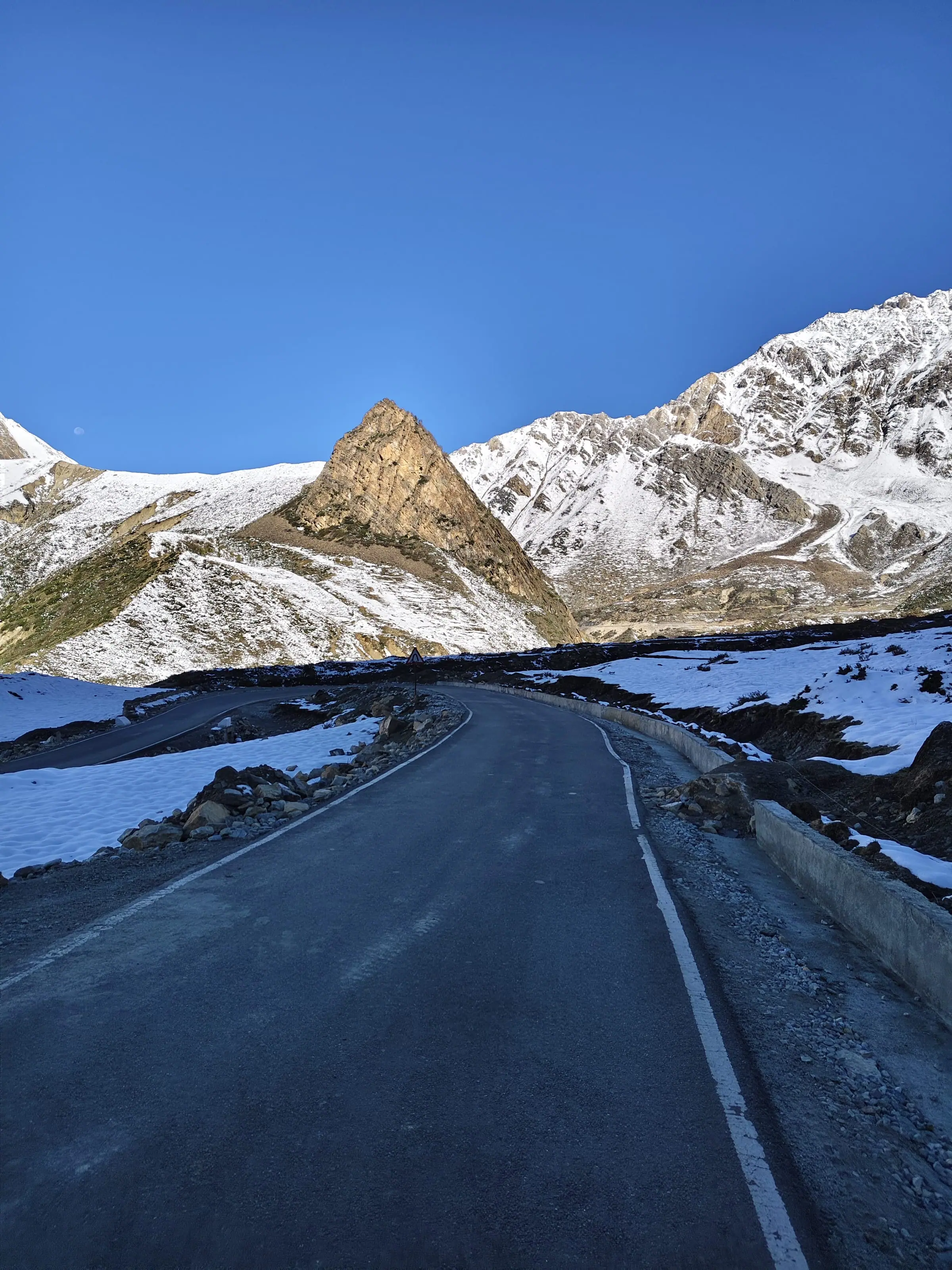
Four different roads hide inside this one drive: a valley road, a gorge road, a climb, then an open valley floor.
Written in October 2026: this describes the shape of the road, not its surface on your date. Out of Dharchula you drive up the Kali. The road changes character four times before Gunji. The order of the names is fixed: Tawaghat, Pangla, Gala, Malpa, Lamari, Budhi, Chhiyalekh, Garbyang, Nabi, Gunji. Learn them. A report that the road is cut only helps if you know where the named place sits.

Dharchula to Tawaghat: the last ordinary stretch
At Tawaghat the Dhauli Ganga meets the Kali, and the Darma valley road leaves the Gunji road here.
This first part is the easy stretch of the drive, before the gorge begins. At Tawaghat the valley splits. One road leaves the Kali and climbs the Dhauli Ganga towards Sobla, about 37 km from Dharchula, and on to Dantu; the other stays with the Kali for Gunji. Above Tawaghat sits Narayan Ashram.
Tawaghat to Malpa: into the gorge
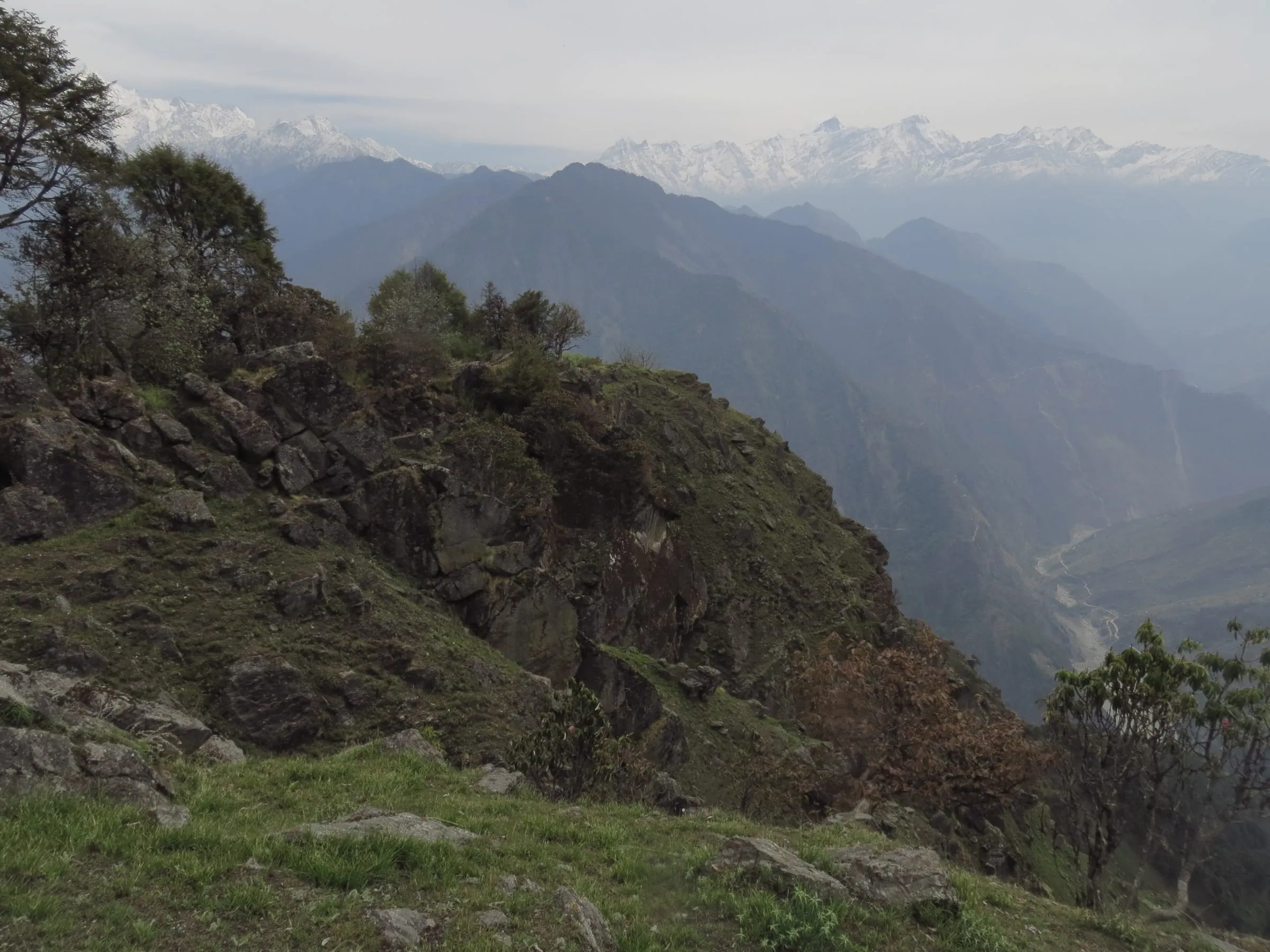
Above Tawaghat the Kali valley narrows, and this is the gorge part of the drive.
Pangla, Gala and Malpa come in this stretch, and the character changes with them. The valley closes in.
Malpa to Budhi: the narrow part
Lamari and the climb to Budhi sit deep in the gorge.
Lamari, then the climb towards Budhi.
Budhi to Chhiyalekh: the climb out
The road climbs from Budhi to Chhiyalekh, where the gorge ends and the Vyas valley opens out.
Chhiyalekh is the hinge of the whole drive. Below it the drive has been inside the gorge. Above it the ground opens out.
Chhiyalekh to Garbyang, Nabi and Gunji: the valley floor
The last stretch runs along the open Vyas valley through Garbyang and Nabi to Gunji at 3,200 m.
After Chhiyalekh the drive is on the valley floor rather than in the gorge. Nabi comes next, at about 3,290 m. At Gunji the road splits: Adi Kailash one way, Om Parvat the other. Gunji as a village is a stop, not a town.
So that's the shape of the road. The surface is a different question, and the BRO's work changes it, so anything printed about where the tarmac stops goes out of date.
Ask us how our drivers found each stretch on their last run up, with the date of that run.
Where the road blocks, and what usually opens it again
Rain blocks this road, and slides and damaged crossings are what take out sections.
Look at what falls on this valley in July. Dharchula averages 495 mm of rain for the month, and Gunji 479 mm. October at Gunji averages 38 mm. The road is the same road in both months. The hillsides above it are not.
Why the same points slide
The gorge stretches sit under steep slopes, and in heavy rain what comes off those slopes lands on the road.
Where a road runs under steep rock, heavy rain brings the slope down onto it, or takes it away below. Which points go most often is local knowledge, held by drivers and by the BRO units working the stretch.
Who clears it, and how long that takes
Reports from this road name the Border Roads Organisation as the agency clearing a block, and a reopening is the administration's to announce.
Nobody can say in advance how long a block will last. The reopening is announced, not guessed at by the vehicles waiting. Ask us how long the blocks our drivers have waited out actually lasted.
When a section becomes a walk
Whether a cut section can be crossed on foot, or crossed at all, is decided on the road and not in advance.
When a section is gone, the administration may let traffic across on a temporary crossing, a culvert or a diversion built to get traffic through until the proper repair comes, or it may not let traffic across at all. Whether it's possible on your day is the administration's call and your driver's, taken on the spot. Don't build it into a plan from home.
One more thing worth knowing. A block below Tawaghat closes two valleys at once, because the Darma road leaves the Kali there. That's why reports out of Dharchula mention Darma and the Vyas valley together.
What a block costs your plan
A block costs time, and what that costs depends on how much spare the plan holds.
A road being shut is half the story. What it does to your dates is the half that costs you money.
Where you wait, and where you can sleep
Where a stopped group waits cannot be said in advance, and the stays on this road are the ones in the villages along it.
You don't choose the spot. You choose what to do once you're in it: go back down to a village with rooms, or wait where you are. Budhi has homestays and a KMVN rest house on the district map, and Garbyang has a tent homestay run by the village committee, opened in October 2025. Beds at Gunji are few, so the district portal tells you to book ahead for the season.
A four-day plan and a six-day plan
A lost day is absorbed by a longer itinerary and comes straight out of the darshan day in a short one.
Our short route from Pithoragarh is a 4-day trip: up to Gunji, Jolingkong, then Om Parvat and down. There's no spare day in it. Adi Kailash from Delhi runs 6 days, with two nights at Gunji or Nabi and the Pithoragarh temples and Jageshwar at the end. Lose a day on the climb and it has somewhere to go.
When a leg can't be run, we move to what the same valley still offers, and you hear it the day we hear it. A day the road takes away is not a day you pay for. That line is in our terms because this road put it there.
The permit dates you already hold
A lost day becomes a question for the office at Dharchula that issued the Inner Line Permit.
Only the office that issued it can speak to a change of dates, and that office is in Dharchula. We won't tell you the answer in advance, because the answer isn't ours to give.
Ask us what a lost day means for a permit already filed on your dates.
Can you drive your own car to Gunji?
Clearance and a driver who has been up before are what to ask about, and the rules on the day are confirmed at Dharchula.
The real question isn't whether a car can reach Gunji. It's whether yours, with you at the wheel, should be on this road at all.
Ground clearance is the first thing to ask about at Dharchula. Tyres, the spare and the brakes for a long descent belong in the same conversation at Dharchula. Ask us which vehicles our drivers run on this road.
But the rules on the day aren't ours to set. Permits and IDs are checked at the posts on the way up. We can't print a vehicle rule we haven't checked for your dates, so ask us the week you travel, and ask again in Dharchula on the morning you drive. Told no, you lose nothing by hiring a vehicle and a driver who knows the stretch by name. The fare is another conversation.
If you've driven Himalayan roads before, the call is yours to make. If this is your first mountain drive, leave the car in Dharchula.
Is the Adi Kailash road open, and who actually knows today?
Inside the season Adi Kailash Explore runs, May to November, the administration at Dharchula and the BRO decide whether the road runs on a given day.
Start with the season, because it settles half the question. Adi Kailash Explore runs this road May to November, 1 May to 20 November. Inside that window, the office at Dharchula announces which dates it issues permits for, so check the portal for yours.
Inside it, no written page can tell you the state of the road on the morning you read it. Three places know. The administration at Dharchula announces when the road reopens, and the SDM's office is where the permit sits. The BRO units work the stretch. And the third is the drivers, the ones who have come down the road most recently.
A driver can tell you what the road was like on the day he drove it. Ask two of them.
How to read the social posts that rank for this
Rider and group posts about this road can be useful, and none of them is official.
Search the Dharchula to Gunji road condition and you'll get videos and group posts rather than guides, because the query is really a status question. Some of it genuinely helps. Before you act on one, check two things: the date on the post, and whether it names the stretch (Malpa, Lamari, Budhi) or only says the road is bad. A post with no date and no place name cannot help you plan your own day.
We drive this road through the season. If you'd rather hear it from someone who has been on it recently, write to us: we'll tell you what our drivers found, and we'll tell you when we don't know.
The same road in May, June, September and October
May runs dry, July and August belong to the rain, September's rain eases, and October nights freeze.
| Month | Rain at Dharchula | Rain at Gunji | Nights at Gunji | Frost nights at Gunji |
|---|---|---|---|---|
| May | 40 mm | 74 mm | 1°C | 10 |
| June | 180 mm | 199 mm | 8°C | 0 |
| July | 495 mm | 479 mm | 12°C | 0 |
| August | 449 mm | 437 mm | 12°C | 0 |
| September | 191 mm | 176 mm | 8°C | 0 |
| October | 30 mm | 38 mm | 0°C | 14 |
May and June: dust, meltwater and early repairs
May runs dry, and the road after the winter is a question for Dharchula.
Dharchula averages 40 mm of rain in May. Inside the season, only October is drier. Nights at Gunji still average 1°C, so the cold is real even when the days are kind. What the winter did to the road is a question for Dharchula on the morning you leave.
July and August: the rain decides
July and August carry the heaviest rain of the year, and with it the highest chance of a block.
Gunji averages 479 mm of rain in July and 437 mm in August. Those are the weeks when slides come down, crossings go and sections close at short notice. If you have any choice in your dates, we'd spend them in the other months, and the rain figures are the whole reason.
September and October: firmer road, colder nights
Rain drops away through September, and October brings frost to the Gunji nights.
September rain at Gunji averages 176 mm, and October 38 mm. The trade is the cold: 14 frost nights at Gunji in October, with nights averaging 0°C. What those frost nights do to the surface on a shaded corner is not something this page can tell you in advance. For the cold month by month, read the weather and best time page.
How much height do you gain between Dharchula and Gunji?
The drive climbs from 908 m at Dharchula to 3,200 m at Gunji in a single day.
Dharchula 908 m, Gunji 3,200 m: the climb of a single drive.
That number matters more than the kilometres. You sit in a vehicle all day and do no work at all, and your body still arrives somewhere it has never been.
So the night at Gunji or Nabi isn't a convenience in the plan. It is the plan. On our Adi Kailash trips you sleep at Gunji or Nabi, between 3,200 m and about 3,290 m. Those are the highest nights of the trip. We keep a day in the plan for acclimatising, and oxygen travels in the vehicle. A night helps. It doesn't make anyone fit for the next height, and we won't pretend otherwise.
Tell your driver or guide early if you are not feeling well on the way up. The mountain will still be there next season.
Heart or lung trouble, blood pressure that isn't settled, diabetes, an operation not long behind you: ask your own doctor before you book this drive. Then tell us what they said. We'd rather have that conversation before you book than at Chhiyalekh.
Past Gunji: Nabhidhang, Jolingkong, Kuti and Kalapani
Past Gunji the road keeps going, to Kalapani about 10 km and Jolingkong about 36 km, and the darshan points need only short walks.
At Gunji the road forks, and you drive both forks. Road and walk get mixed up on this route: there is no long trek here, and the vehicle does not reach the foot of everything.
Gunji to Jolingkong, for Adi Kailash
Jolingkong is about 36 km beyond Gunji, at about 4,500 m, and the road reaches it.
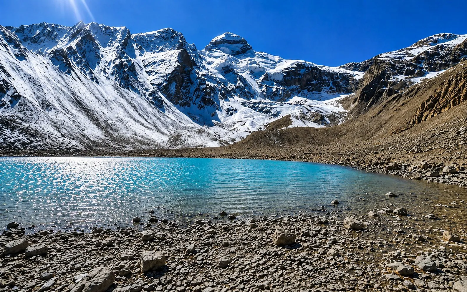
The road passes Kuti, at about 3,820 m, and ends at Jolingkong. Beside Parvati Sarovar, at the end of that road, you take the darshan of Adi Kailash. The walking at that end is short, and it is done at about 4,500 m, which is what makes it feel long. Parvati Kund and the last stretch are a morning from Gunji, started at first light.
Gunji to Nabhidhang, for Om Parvat
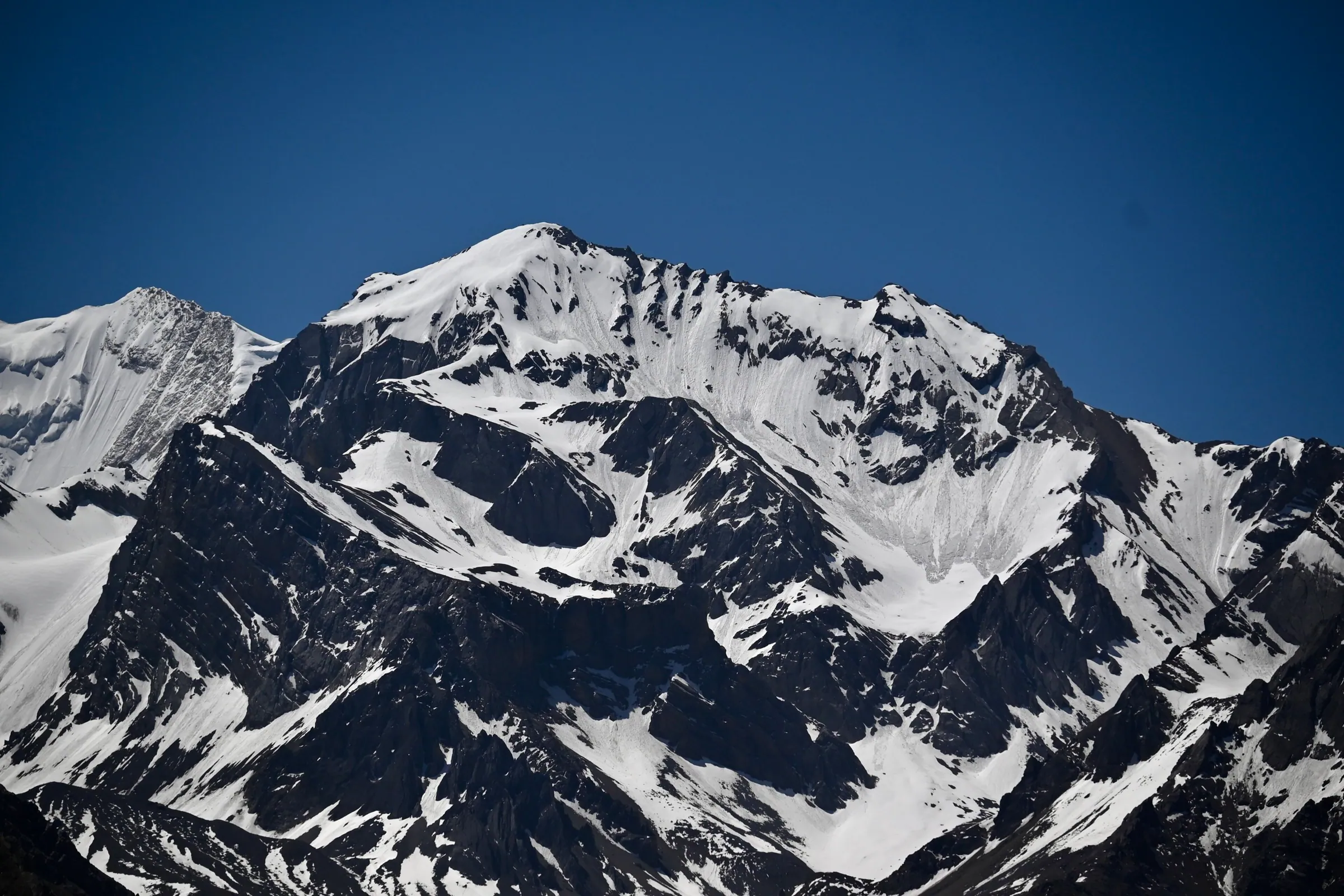
The road from Gunji runs through Kalapani to Nabhidhang, and Nabhidhang is the viewpoint for Om Parvat.
This is your last day in the high valley with us: Nabhidhang for Om Parvat, then Lipulekh at over 5,000 m. From there you see Mount Kailash, if the authorities allow it that day. The Om on the face is snow gathered in the rock, not carving, as the Om Parvat page sets out. KMVN keeps FRP huts at the viewpoint, per the district map.
Gunji to Kalapani and Kuti
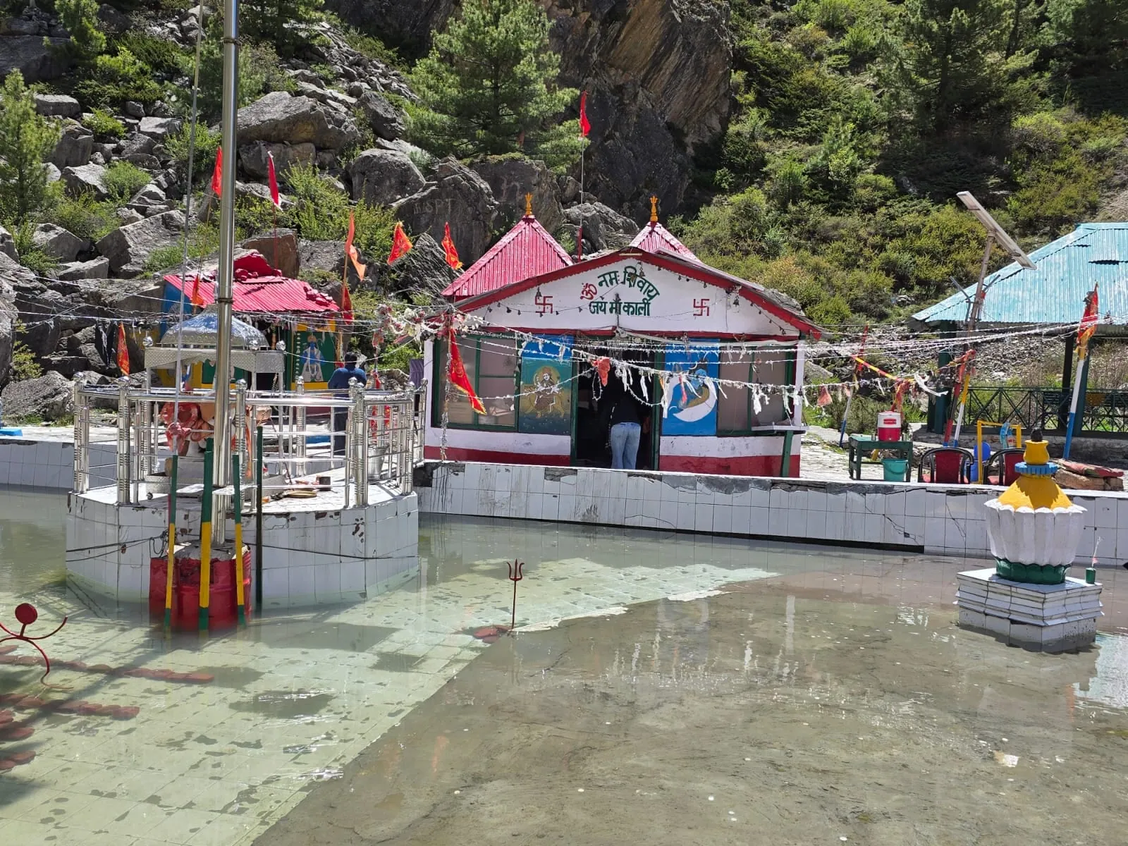
Kalapani is about 10 km from Gunji at about 3,600 m, and Kuti sits at about 3,820 m on the Jolingkong road.
Kalapani has the Kali temple, with Vyas Gufa across the water, and our Om Parvat day stops there for a group havan on the way down. The district map marks an ITBP canteen and toilets there, and no tourist accommodation. Kuti is a different kind of stop: a village of heritage homestays on the road up to Jolingkong, as the same map describes it.
Can you see Om Parvat from Dharchula?
The viewpoint for Om Parvat is Nabhidhang, at the head of the valley. The road reaches Nabhidhang from Gunji, and every Adi Kailash trip we run drives there.
Settle these in Dharchula before you drive up
Permit in the right names, photo ID, warm layers, cash and fuel: Dharchula is where all of it gets settled, on the morning you drive.
The Inner Line Permit is applied for online on the district portal, and the office at Dharchula issues what you carry; government photo ID goes on each person, kept where you can reach it, because it is checked on the way up and not only at the start. Warm layers come out of the suitcase and into the day bag: nights at Gunji average 1°C even in May.
The rest is the bazaar's business. Which pump is working this season, which ATM has money and where the signal actually stops change from year to year, so ask before you climb, and ask your driver when he last drove up and how far he got. For the stop-by-stop picture, read signal, cash and fuel past Dharchula, village by village.
Questions travellers ask
Indian travellers reach Gunji and the Vyas valley villages on an Inner Line Permit, and the posts on the way up check IDs. The risks worth planning for here are the altitude and the weather. Tell us first about blood pressure that isn't settled, or anything the heart or lungs struggle with.
You apply online on the district portal, and the office at Dharchula issues the permit. What it asks of a solo applicant is the portal's to tell you, so check it for your dates. Requirements can change by season, so read the portal for your own dates rather than an older account of it. Our scheduled departures travel as one group, which also means a solo traveller isn't paying for a vehicle alone.
No single fare exists for this leg, because a vehicle is engaged whole rather than seat by seat. The number is settled with the driver rather than printed here. We can't tell you from here whether a shared vehicle will run between the valley villages on your date, so don't pin a plan on one.
A day the road takes away is a day you don't pay for. Adi Kailash Explore puts that in writing before you pay anything. From 1 May to 20 November the weather runs this road, and the authorities can shut it with little warning. When nothing can run at all, you pick: a full refund, or a later date.
Yes, keep one. The 6-day Delhi trip has Pithoragarh and Jageshwar at the end as a cushion; a tighter plan has nothing to give. If your train home is already booked and tight, put a day between the drive down and the platform.
How we made this guide
The figures on this page are filled in from data each time it is built, never typed by hand: prices, days and nights from our package pages; road distances from OpenStreetMap, measured by a router (retrieved 22 September 2026); heights from Wikidata, the Copernicus 90 m elevation model and the heights this site publishes; temperatures from 30-year ERA5-Land climate normals, modelled rather than measured at a weather station. If anything here is out of date, tell us on WhatsApp and we will correct it.
- Adi Kailash from Delhi: itinerary and price
- Adi Kailash, short route: itinerary and price
- OpenStreetMap contributors, routed with OSRM: road distances · retrieved 22 September 2026
- Wikidata: published elevations · retrieved 24 September 2026
- Copernicus GLO-90 elevation model, via Open-Meteo (heights given as about) · retrieved 24 September 2026
- ERA5-Land climate normals 1991–2020, ECMWF, via Open-Meteo · retrieved 22 September 2026
- District permit portal, Pithoragarh
- District permit portal: steps to get the ILP (read 25 September 2026)
- Amar Ujala: inner line permits to be issued online (20 February 2025)
- District Administration Pithoragarh, Inner Line Permit portal, 'Accommodation Options near Adi Kailash'
- District tourism map 'Pithoragarh Destination' (Google My Maps)
- Outlook Traveller: Indian Army opens eco tent homestay in Garbyang
About Adi Kailash Explore
Adi Kailash Explore (adikailash.io) is a tour operator based in Pithoragarh, Uttarakhand, that specialises in one route: Adi Kailash and Om Parvat, the Darma valley and Munsiyari. It runs departures from Delhi, Haldwani and Pithoragarh, and its team files the Inner Line Permit for every Adi Kailash traveller at SDM Dharchula. It is recognised by Uttarakhand Tourism, certified by MSME, Govt. of India (UDYAM-UK-09-0012927) and verified on the NIDHI Portal, and was founded by Vinay Verma. Why travel with us
Vinay Verma
Founder, Adi Kailash Explore; runs the Adi Kailash road from Pithoragarh.
Keep reading
All posts Adi Kailash12 min read
Adi Kailash Route: Delhi to Jolingkong, Leg by Leg
How to reach Adi Kailash means driving, not trekking: the road runs to Jolingkong at about 4,500 m. Adi Kailash Explore note where the short walks begin.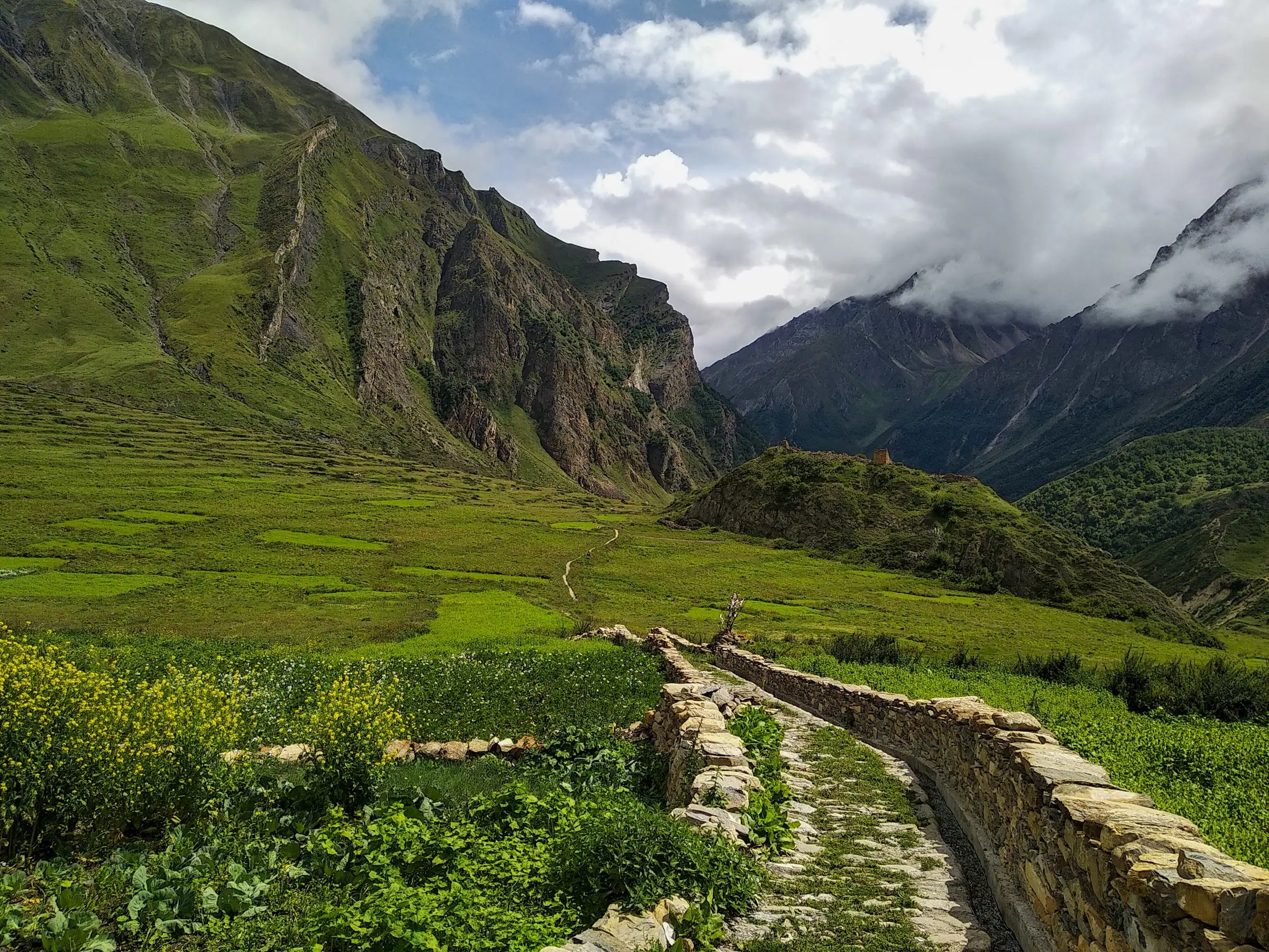 Adi Kailash12 min read
Gunji, Uttarakhand: The Village Where the Road Forks
A Vyas valley trip through Gunji takes 6 days from Delhi at ₹30,300 a person, 4 days from Pithoragarh. Adi Kailash Explore run it May to November.Adi Kailash13 min readDharchula to Adi Kailash Taxi Fare: Per Vehicle or Per Seat
Driver food, his bed at Gunji and waiting hours sit outside a Dharchula to Adi Kailash taxi fare. Adi Kailash Explore settle each in words first.The day-by-day plan
Download the Adi Kailash itinerary for free.
6 days and 5 nights from Delhi, as a 19-page PDF on WhatsApp.Adi Kailash & Om Parvat from Delhi: 6 days and 5 nights, as a 19-page PDF on WhatsApp. Forward it to your family, then ask us anything.
One WhatsApp message. Free, in Hindi or English.Or call +91 76688 58311 · Hindi or English
Adi Kailash & Om Parvat from Delhi
6 days, 5 nights · 19 pages
- Delhistart
- Pithoragarh
- Gunji
- Jolingkong
- Nabhidhang
- Lipulekh
- Jageshwar
- Back to Delhi