Adi Kailash16 min read
Dharchula on the Kali: the last ordinary town before the permit valleys
Dharchula is the last ordinary town on the Adi Kailash road: a bazaar at 908 m, on the Kali river. It stands in Pithoragarh district, Uttarakhand, with the Nepali town of Darchula on the opposite bank. The bus and the permit counter both end here. Three roads climb out of it, and one of them is the old road towards Mount Kailash.
By Rishabh Verma, of the Adi Kailash Explore teamAsk us on WhatsApp
TL;DRThe post in 5 lines
- Dharchula is a bazaar town and subdivision headquarters at 908 m in Pithoragarh district, Uttarakhand, on the Kali river facing Darchula in Nepal.
- Dharchula sits about 91 km from Pithoragarh by road and about 570 km from Delhi, with Tanakpur the nearest railhead.
- The SDM's office at Dharchula issues the Inner Line Permit for the valleys north, and Adi Kailash Explore files yours before you arrive.
- Dharchula is the junction: Gunji lies about 80 km north, Sobla about 37 km into the Darma valley, Munsiyari about 94 km west.
- Dharchula town records no snow: the snow reported from Dharchula falls higher up the subdivision.
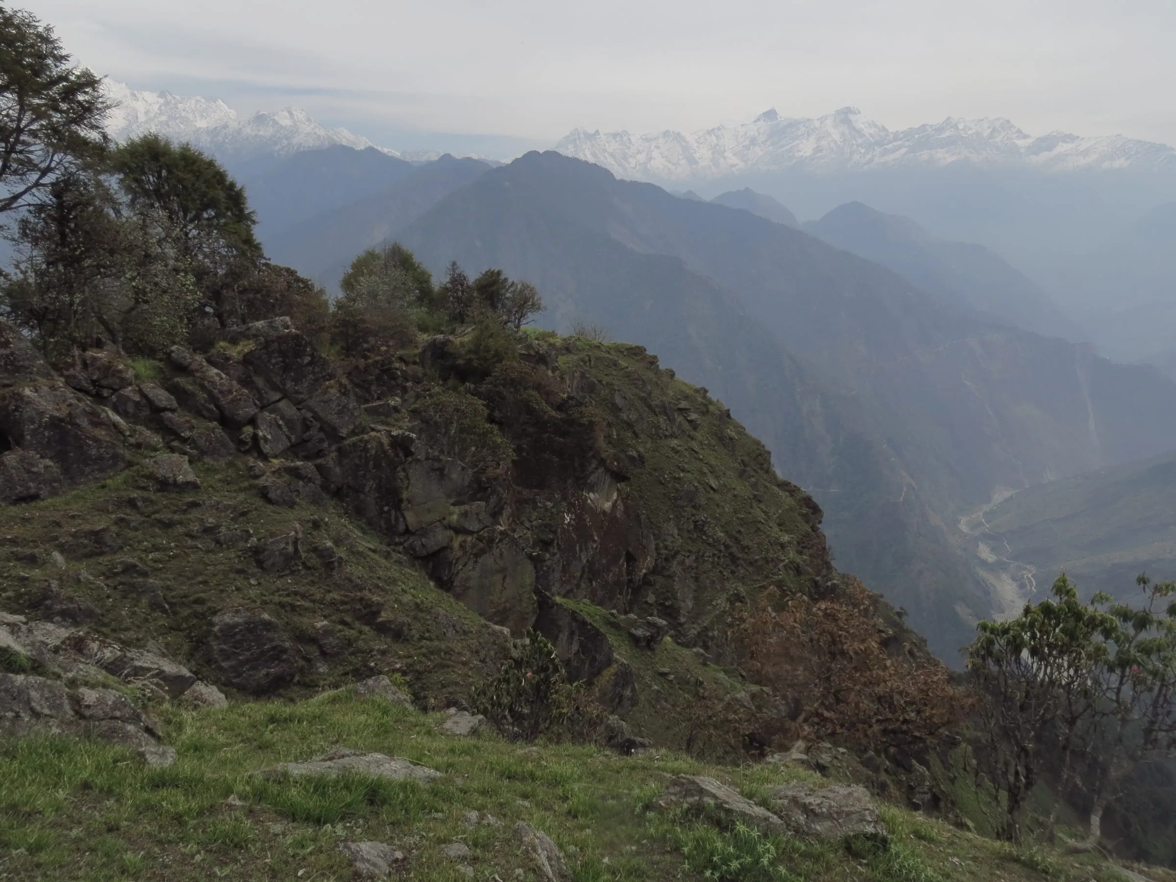
Key facts
- Location
- Pithoragarh district, Uttarakhand, on the Kali (Mahakali) river, facing Darchula in Nepal
- Altitude
- 908 m
- Distance from Delhi
- About 570 km
- Distance from Pithoragarh
- About 91 km
- Railhead and airport
- Tanakpur railhead, about 238 km by road; nearest airport Naini Saini at Pithoragarh, whose flights come and go
- Permit
- Inner Line Permit for the valleys north: applied for online, issued by the SDM's office at Dharchula
- Road north runs
- 1 May to 20 November
Where is Dharchula, and what kind of town is it?
Dharchula is a bazaar town and subdivision headquarters in Pithoragarh district, Uttarakhand, on the Kali river facing Nepal.
The town sits on the left bank of the Kali, the river Nepal calls the Mahakali. Across the water stands Darchula, the Nepali town with nearly the same name. On this side: a bazaar climbing the slope, a bus stand, the SDM's office, and one road going north.
Travellers arrive looking for a sight and find a working town. Dharchula is a subdivision headquarters, so the offices, the market and the vehicles that serve the villages above all gather here. It isn't a hill station and doesn't try to be. It's where the easy part of your trip ends.
Dharchula 908 m. Gunji, about 80 km north, 3,200 m. The climb starts after this town.
How high is Dharchula, and why do the figures differ?
Published heights for Dharchula run from roughly 904 to 940 m, because the bazaar climbs a slope above the river.
Our height data gives 908 m. The climate model behind the town's monthly figures runs on 904 m. Uttarakhand Tourism and tour pages put Dharchula at roughly 915 to 940 m.
None of them is a mistake. A riverside bazaar on a hillside has no single height, and for planning the exact metre doesn't matter. Dharchula is low. What's north of it isn't.
What does the name Dharchula mean?
Dharchula is usually explained as dhar, a ridge or peak, and chula, a cooking stove.
Dhar is a ridge or peak, chula a stove. That is the reading the reference pages give. Whether it's the origin or a story grown around the sound of the word, nobody will settle it for you.
What is Dharchula known for?
Dharchula is known as a border trading town and as the halt where every road into these high valleys begins.
Trade made the town. Dharchula grew as a border trading centre, and the Rung families of these valleys are a trading and border community. The work is much the same now: loads, buses and travellers change hands here.
North of here, nothing runs to a timetable.
How far is Dharchula from Pithoragarh, and what is the drive like?
Dharchula is about 91 km from Pithoragarh by road, through Askot, Jauljibi and Baluwakot.
You drop out of Pithoragarh's valley almost at once, and the drive belongs to the river. It's a gorge road, short in kilometres. You'll see 92 km quoted for this leg. Our road figure is about 91 km, and it's the same drive either way.
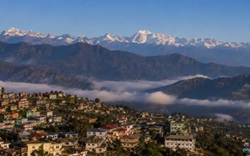
The route, place by place
- Pithoragarh, 1,645 m: the road leaves the Saur valley and starts losing height.
- Askot, on the way down.
- Jauljibi.
- Baluwakot: the stretch that gets reported when a slide comes down.
- Dharchula, 908 m, on the river, with Nepal across it.
Maps will also offer a longer line through Jhulaghat. The Askot road is the shorter of the two.
What is the road condition from Pithoragarh to Dharchula?
The Pithoragarh to Dharchula road is a mountain road along a river gorge: usable in season, slide-prone in the monsoon.
In the dry months you get an ordinary Kumaon drive, climbing and dropping with the river below. July brings 495 mm of rain in a normal year, and August is nearly as wet. Wet hillsides send material down, and the Baluwakot side is the stretch you hear about when they do. That's the pattern as of October 2026, not a forecast for your week.
What happens when a landslide shuts the road
A block means waiting for the clearing machinery, and nobody can tell you in advance how long that takes.
The road agency and the district administration clear it, and they decide when traffic moves. So keep a spare day if your trip is built around fixed trains, and don't plan to drive the gorge after dark.

Dharchula distance from Delhi, Kathgodam, Haldwani, Tanakpur and Munsiyari
Dharchula is about 570 km from Delhi, about 273 km from Kathgodam and about 238 km from Tanakpur by road.
Delhi to Dharchula measures about 570 km, and taken as one number it misleads. It isn't a drive to take in one sitting. Held as three legs, with a town at the end of each, it turns into a plan.
| From | km (OpenStreetMap) |
|---|---|
| Delhi | 570 |
| Kathgodam | 273 |
| Haldwani | 276 |
| Tanakpur | 238 |
| Pithoragarh | 91 |
| Munsiyari | 94 |
Delhi to Dharchula in three legs
Delhi to Kathgodam is about 292 km, Kathgodam to Pithoragarh about 183 km, and Pithoragarh to Dharchula about 91 km.
The first leg is the fast one: plains, then the hills begin. Hill road all day is what the second means, and it decides what time you arrive. Shortest of the three is Pithoragarh to Dharchula, and nothing like the quickest kilometres you'll drive.
On our Delhi trip the first night is at Pithoragarh, about 480 km in, with the permit done next morning.
Which start city gives the shortest drive?
Tanakpur is closest to Dharchula by road at about 238 km, with Kathgodam and Haldwani a little further.
Kathgodam measures about 273 km. Haldwani, with that railhead beside it, measures about 276 km, and from there the hill road to Pithoragarh runs about 185 km. Past Pithoragarh the road is the same for everyone, and Adi Kailash & Om Parvat comes up from Haldwani through the town.
Send us your start point on WhatsApp and we'll work the legs from it.
How can I reach Dharchula by bus, train, taxi or air?
Trains reach Tanakpur or Kathgodam, flights at best reach Pithoragarh, and the last stretch into Dharchula is always road.
Every route in ends as a road journey. The only question is where you get off.
Which railway station is nearest to Dharchula?
By road Tanakpur is the closer railhead at about 238 km, against about 273 km from Kathgodam.
Which one suits you comes down to the train you can actually get. Kathgodam sits beside Haldwani, and the hill drive starts from the plains.
Is there a direct bus from Delhi to Dharchula?
A direct night bus from Delhi to Dharchula has run in season, though times and fares change, so confirm at the counter.
Buses work the Kumaon roads up to Dharchula, and that's where they stop. North of the town there is no bus at all.
A departure time and a fare circulate on social posts. Those are the first two things to change, so ask at the Anand Vihar counter, or at the bus stand in Pithoragarh. What you do once the buses stop is in Adi Kailash without a package.
What is the closest airport to Dharchula?
Naini Saini at Pithoragarh is the closest airport to Dharchula, though its scheduled flights have started and stopped more than once.
Alliance Air brought in the first commercial flight from Delhi on 7 November 2024. A three-days-a-week Dehradun flight, on a 42-seat aircraft, began again on 26 March 2026. Treat neither as a promise for your dates, and check before a trip hangs on a flight. Travellers also fly into Pantnagar, down on the plains by Haldwani, and drive up from there.
Taxi and shared jeep from Pithoragarh or Haldwani
Shared jeeps and private taxis cover the Pithoragarh and Haldwani roads to Dharchula.
Where vehicles stand, and when in the day they fill, is local knowledge that shifts with the season, so ask on the ground or ask us. Above the town you pay for the whole vehicle rather than a seat, and Dharchula to Adi Kailash taxi fare has the pricing. On our trips the vehicle is part of the package from the city you start in.
Where can I stay in Dharchula?
Dharchula has bazaar hotels, lodges and guest houses plus the KMVN tourist rest house.
The district's permit portal describes the town's stock in three words: hotels, lodges and guesthouses. Its own table is blunter, listing a hotel with "Basic Rooms, Food" and the advice to book in advance. That's a fair picture. Plain rooms, food in the same building, nothing designed for a holiday.
The tourist rest house at Dharchula takes online bookings, with double rooms listed as Deluxe and Super Deluxe on a room-only plan and no tariff shown on the page (checked 29 September 2026). KMVN's own 2026 Adi Kailash package starts and finishes there. A PWD inspection house appears by name on the district's list of government guest houses, with no booking detail attached.
Uttarakhand Tourism's Dharchula page leaves its where-to-stay field empty. On the state's homestay site a few places list around it: Mystic Mountain Dev Bhumi Homestay at Syankuri and Panchachuli Homestay at Dharchuli, both carrying a list price of Rs 1,500 a night for two adults when we read it on 29 September 2026.
Which of these we'd put a traveller in is a different question, and the answer moves: a rest house reopens, a hotel changes hands. Our Delhi and Haldwani itineraries list nights at Pithoragarh and then at Gunji or Nabi, so a Dharchula bed isn't a fixed part of them.
Ask for three things when you book: hot water at the hour you'll want it, breakfast before the drive, and somewhere the vehicle can stand overnight. A room here is for sleeping before a long day. Those three beat any view from the window.
Booking ahead in season
Rooms on this road fill through May to November, and the district's own advice for the season is to book in advance.
Above Dharchula the beds run out fast. Amar Ujala reported homestays full at Gunji, Nabi, Garbyang, Budhi and Kuti in late May 2026, with Dantu and Dugtu full in the Darma valley as well. The run at Gunji pulls people up this road as well.
Does Dharchula border Nepal, and how far is Nepal by road?
The Kali river is the border itself, and Darchula in Nepal stands directly across the water from Dharchula's bazaar.
How far is Nepal from Dharchula? The width of a river. The Kali, the Mahakali on the Nepali side, runs between the two towns, and a bridge joins them.
Uttarakhand Tourism describes local people crossing that bridge as part of their day, in both directions. That is how the two towns work. What a visitor may do there is another matter. The officials at the bridge decide it, and the rules change with the month. Ask them: no sentence on any website is permission to walk across.
The boundary question further up the valley, around Kalapani and Lipulekh, belongs to governments. At the bridge in Dharchula it has no bearing on your day.
Does it snow in Dharchula, and which months suit a visit?
Snow does not fall in Dharchula town in a normal year, and the road north runs May to November.
Snow in the town: the record says no. Zero snow days in every month of the year, and frost only in the winter figures: 4 nights in January. January days still reach 16°C. This is a river town at 908 m, warm by Kumaon standards.
| Month | Day | Night | Rain |
|---|---|---|---|
| May | 28°C | 16°C | 40 mm |
| June | 28°C | 20°C | 180 mm |
| July | 27°C | 22°C | 495 mm |
| August | 27°C | 22°C | 449 mm |
| September | 26°C | 19°C | 191 mm |
| October | 24°C | 13°C | 30 mm |
The season is simple down here. May and June are hot, and June nights hold at 20°C. October is the kindest month in the town: 24°C by day, with rain down to 30 mm.
Why snow reports from Dharchula can mislead
Reports of snowfall in Dharchula usually mean the higher parts of the subdivision, not the river town itself.
Dharchula names a town and also a subdivision that runs up to the border. So when a news item says snow fell in Dharchula, the snow is almost always in the Darma valley, at the Panchachuli base, or in the Vyas valley villages, thousands of metres above the bazaar. Gunji records 8 snow days in January. The town records none, in any month.
Monsoon: the months the road is the problem
July and August are the wettest months in Dharchula, and the road pays for it, not the town.
July alone averages 495 mm. The bazaar handles that. What gives way is the gorge road above and below the town, so if your dates fall in the monsoon, keep spare days and keep your driving in daylight. For the figures from Dharchula right up to Jolingkong, read month by month temperatures.
What is Dharchula the gateway to?
From Dharchula the roads divide: Gunji and the Vyas valley, Tawaghat and Darma, and the long road west to Munsiyari.
This is the real reason the town matters.
How far is Dharchula from Adi Kailash and Om Parvat?
Gunji is about 80 km north of Dharchula, and Jolingkong, for Adi Kailash, is about 36 km beyond Gunji.
The permit road begins above the town. Gunji, 3,200 m, is where the valley forks and where travellers sleep. Jolingkong is about 36 km further on. At the foot of the mountain, beside Parvati Sarovar, travellers do the darshan of Adi Kailash.
The other fork climbs to Nabhidhang, where Om Parvat stands, passing Kalapani about 10 km out of Gunji. Take the legs one by one in how to reach Adi Kailash. For the shape on that rock face, read Om Parvat.
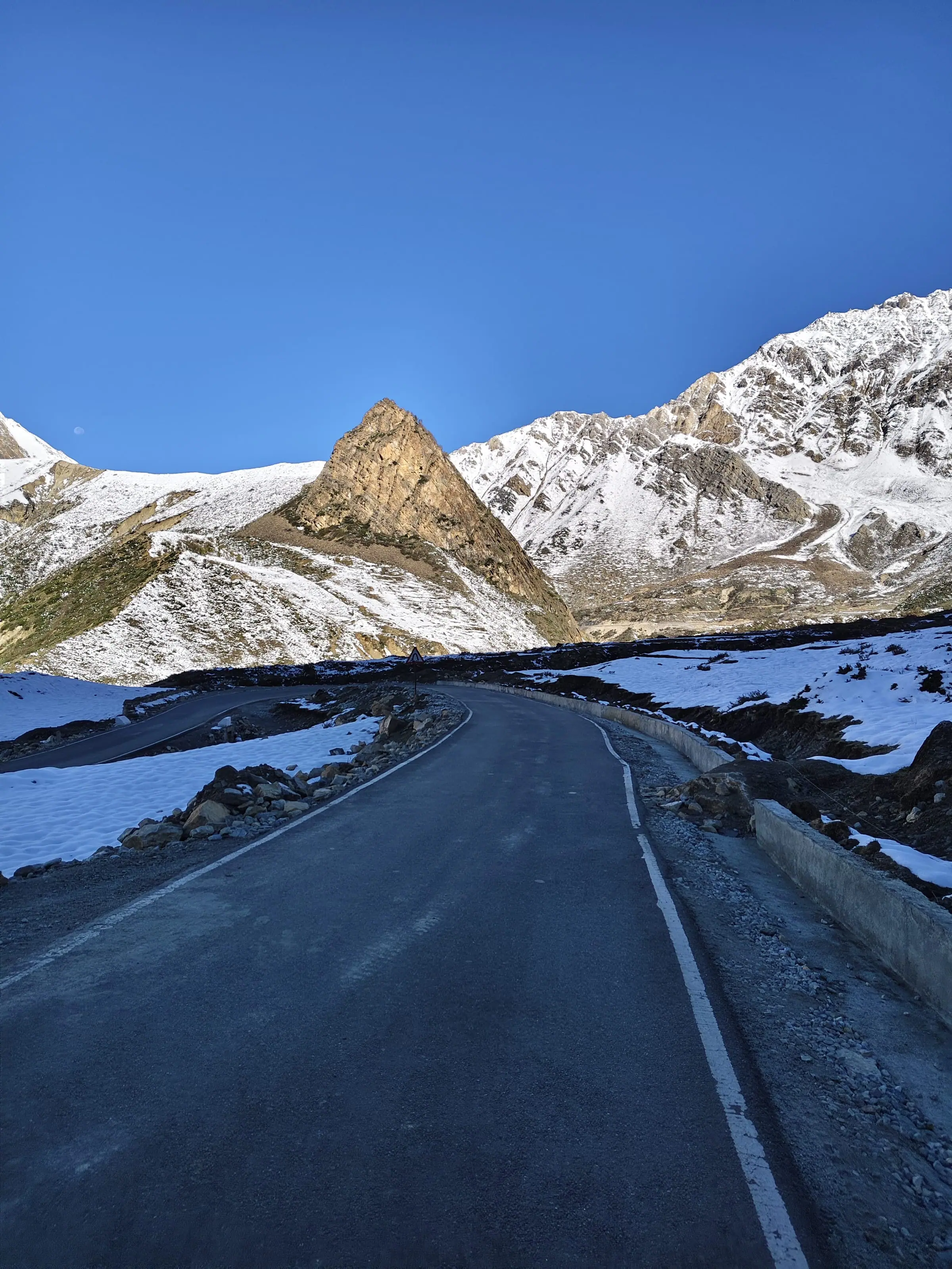
How do I get from Dharchula to Darma valley?
Turn off at Tawaghat, where the Dhauli Ganga meets the Kali, and climb to Sobla, about 37 km from Dharchula.
From Sobla the road keeps climbing to Dugtu and Dantu, Dantu at about 3,150 m, under the Panchachuli peaks. Nights up there are homestays with Rung families, which is half the reason to go. Darma Valley has the villages in order.
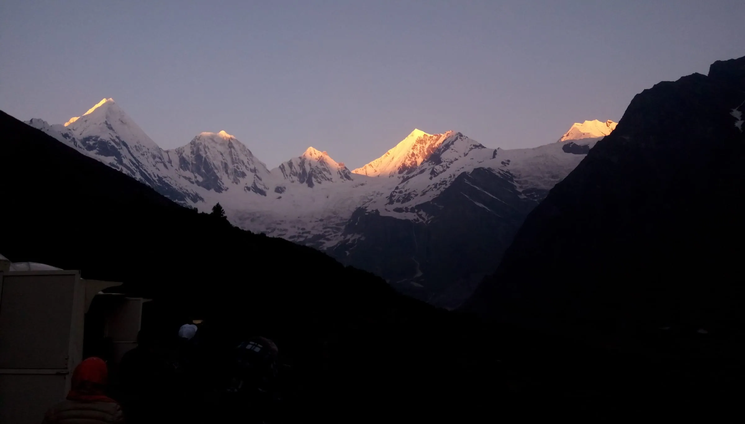
How far is Munsiyari from Dharchula?
Munsiyari is about 94 km from Dharchula by road.
The longer way in from Pithoragarh runs about 125 km, and how to reach Munsiyari has the other options.
Dharchula on the Kailash Mansarovar route
Travellers bound for Mount Kailash in Tibet have long halted at Dharchula before the climb towards Lipulekh.
That is why the town's name turns up in old yatra accounts more often than in holiday ones. Mount Kailash itself is in Tibet, and that road asks for Chinese permits. Adi Kailash stands inside India, on one Inner Line Permit. Panch Kailash sets the five peaks beside each other.
Before you drive north from Dharchula: the permit, and the last errands
You apply online, the SDM's office at Dharchula issues the permit, and fuel, cash and signal all stop being ordinary above the town.
The district moved the whole application onto its online form on 20 February 2025, and the SDM's office here issues the permit. You bring an identity card with your photograph on it, a few passport-size prints, a doctor's fitness certificate and a signed self-declaration. What's asked can change between seasons, so read it for your own dates, and we file it for our travellers well before they land in Pithoragarh. Departures run 1 May to 20 November, and inside that window weather decides individual days.
The town is also the last place that works like a town. The pumps stop at Dharchula, so fill the tank here; the cash machines stop here too, so carry notes; and the signal thins out above the bazaar, with a Jio tower carrying the first mobile call out of Kuti only in December 2023. Signal, cash and fuel stop by stop to Jolingkong has which SIM works where, how much cash to draw and the kilometres past the last pump.
Is Dharchula worth a night of its own?
Dharchula earns a night for what it sets up: the permit in hand, a full tank and an early start north.
Worth it if you're going north, or coming down and wanting a bed with hot water. Not worth a detour for its own sake. If you want views and a slow morning, Munsiyari does that better.
One honest drawback: the town is hot in the months you would come. June averages 28°C by day, and the nights stay heavy. Even so, every good day on this road begins with an organised night here.
Who lives in Dharchula?
Dharchula's people are the Rung and other communities of these border valleys.
Is Dharchula fine for families and older travellers?
Dharchula sits at 908 m, so altitude is not the issue in the town; the climb starts above it.
Your two highest nights come later, at Gunji or Nabi, 3,200 m to about 3,290 m, and that's where altitude asks something of you. Some conditions need a word first: a heart or lung condition, blood pressure that is not controlled, surgery not long behind you. If that is anyone in the party, tell us before you book, and see your own doctor first. Adi Kailash from Delhi spreads the climb out slowly, and oxygen rides in the vehicle.
Questions travellers ask
The Inner Line Permit covers the border valleys north of the town: the Vyas valley road to Gunji and beyond, and the Darma valley. That is what the district portal issues it for, and Dharchula is where it's filed. Adi Kailash Explore files it before you arrive. Your side of it is a government photo ID and passport-size prints.
No, they are two towns in two countries, facing each other across one river. Dharchula lies in Pithoragarh district, Uttarakhand. Darchula stands on the far bank, in Nepal, where the Kali is called the Mahakali. The names are related. The rules are not: which side of the river you stand on decides which country's rules apply to you.
Possible on paper, and a poor plan: Delhi to Dharchula measures about 570 km, and the hills start at Kathgodam, about 292 km in. On our Delhi trip you sleep at Pithoragarh and drive north the next morning, with the permit already done. If you're driving yourself, take a night on the way and arrive in daylight rather than finishing the gorge in the dark.
Plan on 5 days from Haldwani or 6 days from Delhi, counting the drive home. On the Delhi trip Gunji is reached on day 2 after the permit, Jolingkong and Parvati Sarovar on day 3, and Nabhidhang for Om Parvat with Lipulekh on day 4. A trip starting at Pithoragarh is shorter, because the long first drive is already behind you.
Adi Kailash Explore holds no measured road distance for Almora to Dharchula, so there's no figure to give you. From Pithoragarh the last leg is about 91 km. Send your start point on WhatsApp and we'll work the legs from where you actually begin.
How we made this guide
The figures on this page are filled in from data each time it is built, never typed by hand: prices, days and nights from our package pages; road distances from OpenStreetMap, measured by a router (retrieved 22 September 2026); heights from Wikidata, the Copernicus 90 m elevation model and the heights this site publishes; temperatures from 30-year ERA5-Land climate normals, modelled rather than measured at a weather station. If anything here is out of date, tell us on WhatsApp and we will correct it.
- Adi Kailash & Om Parvat: itinerary and price
- Adi Kailash from Delhi: itinerary and price
- OpenStreetMap contributors, routed with OSRM: road distances · retrieved 22 September 2026
- Wikidata: published elevations · retrieved 24 September 2026
- Copernicus GLO-90 elevation model, via Open-Meteo (heights given as about) · retrieved 24 September 2026
- ERA5-Land climate normals 1991–2020, ECMWF, via Open-Meteo · retrieved 22 September 2026
- The Hindu: first commercial flight lands at Naini Saini airport (7 November 2024)
- ThePrint: Dehradun to Pithoragarh flight service flagged off (26 March 2026)
- Amar Ujala: inner line permits to be issued online (20 February 2025)
- District permit portal, Pithoragarh
- District permit portal: steps to get the ILP (read 25 September 2026)
- District Administration Pithoragarh, Inner Line Permit portal, 'Accommodation Options near Adi Kailash'
- Uttarakhand Tourism (UTDB), destination page 'Dharchula' (where_to_stay field)
- KMVN, 'TRH Dharchula'
- District Pithoragarh, 'Accommodation (Govt Guest houses)'
- Uttarastays, UTDB's homestay booking site
- Amar Ujala, 'Vyas ghati ke Kuti gaon mein ghanghanai mobile ki ghanti'
- Amar Ujala, 'Darma, Vyas ghati mein paryatakon ki chahal-pahal se badha arthik vikas'
- Amar Ujala, 'Adi Kailash yatra ke liye Vyas ghati pahunche home stay sanchalak, booking shuru'
About Adi Kailash Explore
Adi Kailash Explore (adikailash.io) is a tour operator based in Pithoragarh, Uttarakhand, that specialises in one route: Adi Kailash and Om Parvat, the Darma valley and Munsiyari. It runs departures from Delhi, Haldwani and Pithoragarh, and its team files the Inner Line Permit for every Adi Kailash traveller at SDM Dharchula. It is recognised by Uttarakhand Tourism, certified by MSME, Govt. of India (UDYAM-UK-09-0012927) and verified on the NIDHI Portal, and was founded by Vinay Verma. Why travel with us
Keep reading
All posts Adi Kailash12 min read
Adi Kailash Route: Delhi to Jolingkong, Leg by Leg
How to reach Adi Kailash means driving, not trekking: the road runs to Jolingkong at about 4,500 m. Adi Kailash Explore note where the short walks begin.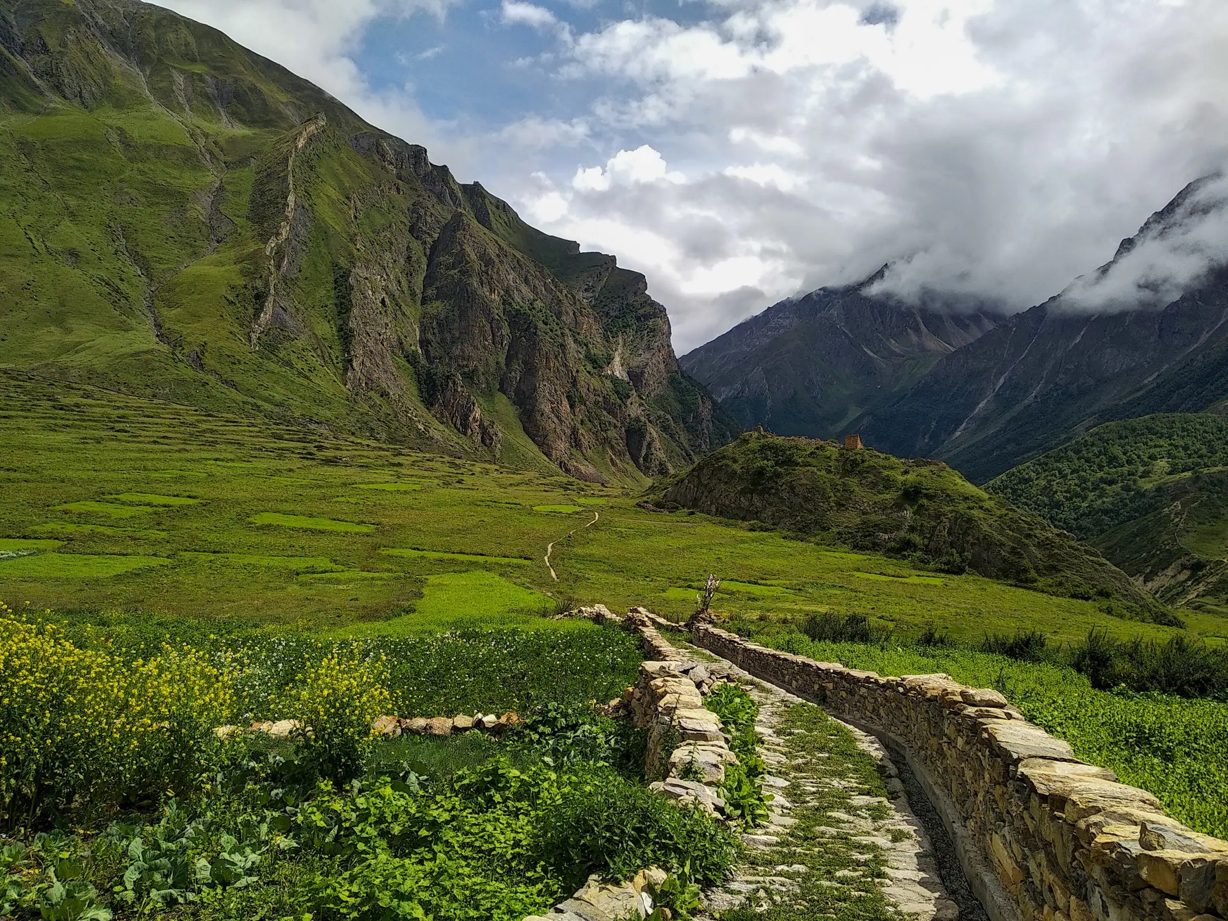 Adi Kailash12 min read
Gunji, Uttarakhand: The Village Where the Road Forks
A Vyas valley trip through Gunji takes 6 days from Delhi at ₹30,300 a person, 4 days from Pithoragarh. Adi Kailash Explore run it May to November.Adi Kailash13 min readDharchula to Adi Kailash Taxi Fare: Per Vehicle or Per Seat
Driver food, his bed at Gunji and waiting hours sit outside a Dharchula to Adi Kailash taxi fare. Adi Kailash Explore settle each in words first.The day-by-day plan
Download the Adi Kailash itinerary for free.
6 days and 5 nights from Delhi, as a 19-page PDF on WhatsApp.Adi Kailash & Om Parvat from Delhi: 6 days and 5 nights, as a 19-page PDF on WhatsApp. Forward it to your family, then ask us anything.
One WhatsApp message. Free, in Hindi or English.Or call +91 76688 58311 · Hindi or English
Adi Kailash & Om Parvat from Delhi
6 days, 5 nights · 19 pages
- Delhistart
- Pithoragarh
- Gunji
- Jolingkong
- Nabhidhang
- Lipulekh
- Jageshwar
- Back to Delhi