Adi KailashUpdated 12 min read
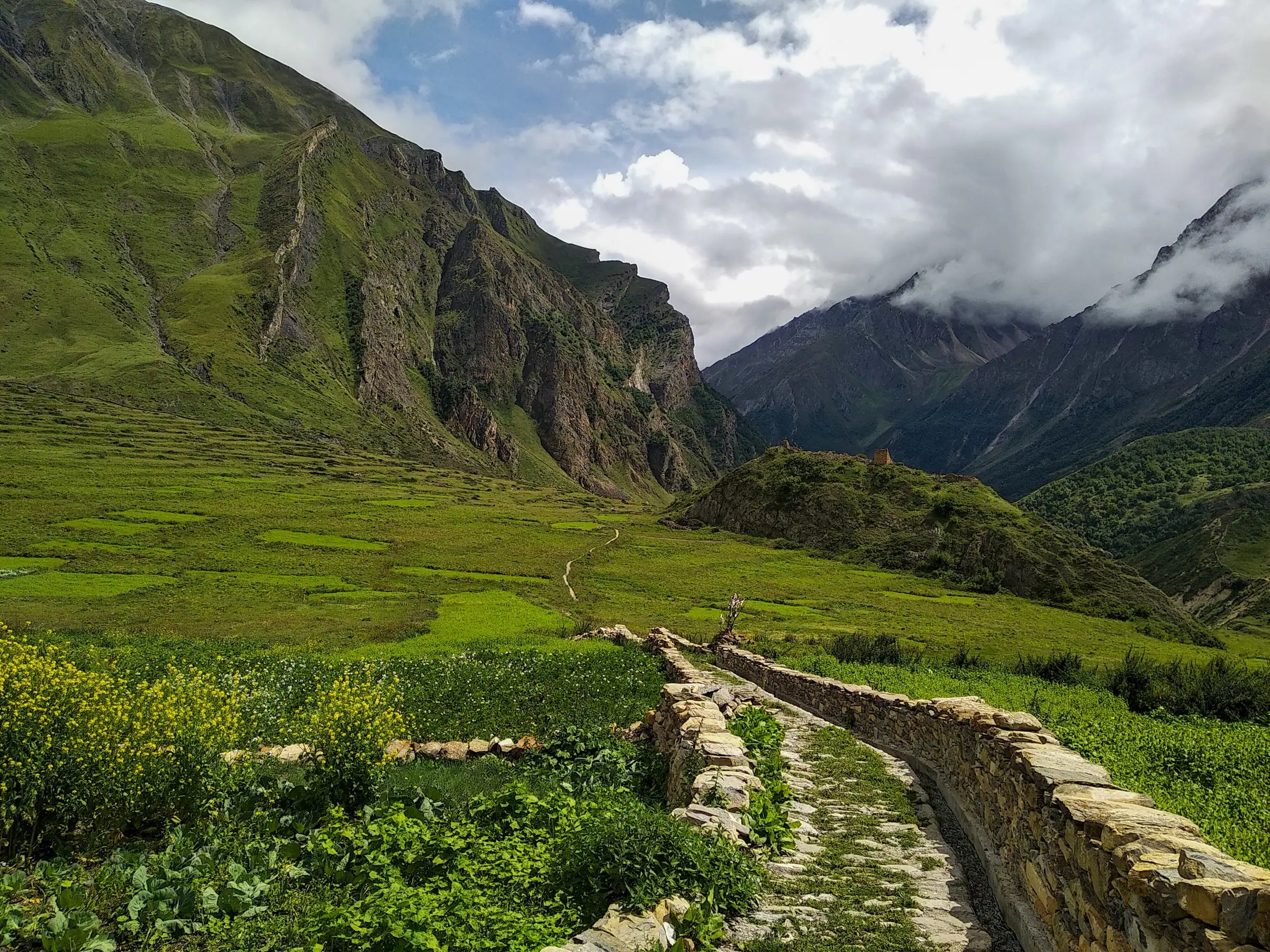
Gunji, the village where the Vyas valley road forks for Adi Kailash and Om Parvat
Gunji is the village at 3,200 m where the Vyas valley's road forks for Adi Kailash and Om Parvat, and where travellers on this route sleep, at Gunji itself or at Nabi just above. Lipulekh Pass, over 5,000 m, closes the valley on the border with Tibet. Here is every stop from Dharchula up, in order, with altitudes, for anyone planning the yatra.
By Rishabh Verma, of the Adi Kailash Explore teamAsk us on WhatsApp
TL;DRThe post in 5 lines
- One road serves the whole Vyas valley in Pithoragarh district, Uttarakhand: Dharchula up to Gunji, then a fork, Kuti and Jolingkong on one arm, Kalapani and Nabhidhang on the other, ending at Lipulekh, over 5,000 m.
- Gunji, 3,200 m, or Nabi, about 3,290 m, is where travellers sleep highest on this route, and both high days, Jolingkong for Adi Kailash and Nabhidhang for Om Parvat, begin and end there.
- One Inner Line Permit, issued by SDM Dharchula and filed ahead of arrival by Adi Kailash Explore, covers Adi Kailash and Om Parvat; Lipulekh needs Army and ITBP clearance on the day.
- A Vyas valley trip takes 4 days from Pithoragarh and 6 days from Delhi, at ₹30,300 a person from Delhi, with departures May to November.
- Travellers drive the Vyas valley rather than trek it, so altitude and not distance sets the difficulty on every stop in the order above.
Key facts
- Location
- Vyas valley, Pithoragarh district, Uttarakhand
- Highest overnight stop
- Gunji, 3,200 m
- Distance from Delhi
- About 648 km to Gunji by road
- Starting points
- Pithoragarh, Haldwani or Delhi
- Days needed
- 4 days from Pithoragarh, 6 days from Delhi
- Best months
- May to November
- Permit
- Inner Line Permit, issued at SDM Dharchula; we file it
- Cost
- ₹30,300 a person from Delhi
The valley in one map, and the order of the stops
From Dharchula one road climbs about 80 km to Gunji; from Gunji it branches, about 36 km to Jolingkong and about 10 km to Kalapani.
The Vyas valley is one road and one river. You leave Dharchula at 908 m with the Kali below you, and climb through Chialekh and Garbyang until the fields of Gunji open out at 3,200 m. Almost everything travellers come here for lies within half a day of that one village.
At Gunji the road divides. The Kuti arm carries on to Jolingkong, the point for Adi Kailash and Parvati Sarovar. The second climbs by way of Kalapani to Nabhidhang, where Om Parvat is seen, and carries on to Lipulekh. Our departures take the Jolingkong arm first and the Lipulekh arm the next day, sleeping both nights at Gunji or Nabi.

| Leg | km (OpenStreetMap) | Altitude at the end |
|---|---|---|
| Pithoragarh to Dharchula | 91 | 908 m |
| Dharchula to Gunji | 80 | 3,200 m |
| Gunji to Jolingkong | 36 | About 4,500 m |
| Gunji to Kalapani | 10 | About 3,600 m |
| Pithoragarh to Gunji | 168 | 3,200 m |
Kuti, Nabhidhang and Lipulekh sit on those two arms and are reached on the days above, not as separate journeys. The whole drive from your own city, railhead and airport included, is laid out in how to reach Adi Kailash.
Dharchula: the permit town
Dharchula sits at 908 m on the Kali, about 80 km below Gunji, and the valley's Inner Line Permit is issued here, at SDM Dharchula.
Dharchula is the last town on this road that behaves like a town: shops, a bus stand, the river loud below, and warm at 908 m while Gunji the same week sits at 12°C. It is the place to buy what you forgot and to draw the cash you will need higher up.
One Inner Line Permit, issued at SDM Dharchula, covers Adi Kailash and Om Parvat, and we file it before you arrive, so the morning of the about 80 km climb to Gunji is issuance and not paperwork. For the town itself, how to reach it from Delhi, Kathgodam or Pithoragarh, where to sleep and what to do before driving north, read the full Dharchula guide.
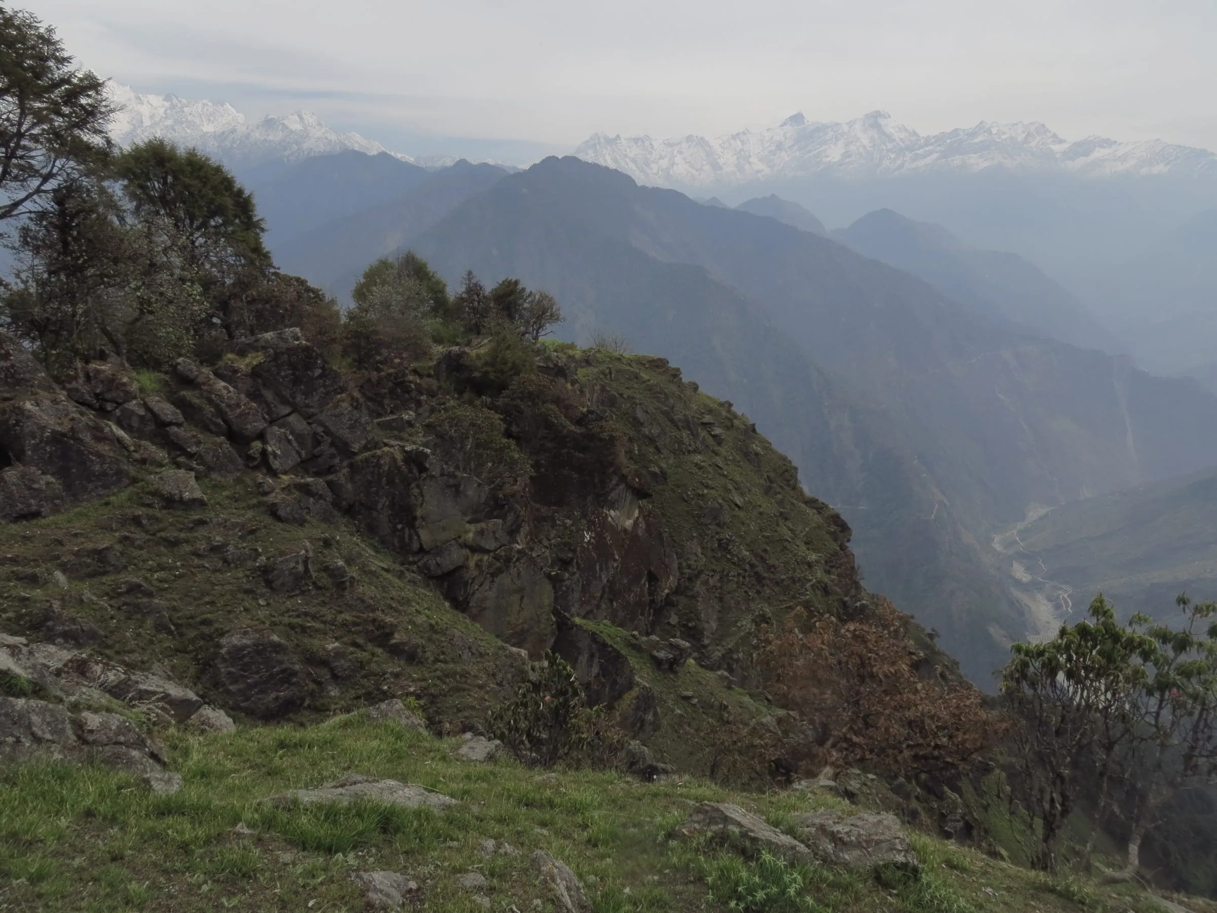
Gunji: the village, the night and the weather
Gunji is a village at 3,200 m where the two valleys meet, reached on day 2; travellers sleep there or at Nabi, about 3,290 m, the highest nights on the route.
You come into Gunji in the afternoon, after a day of glaciers, waterfalls and one narrow road. The valley opens, there are fields and stone walls, and the light goes early behind the ridge. Then the cold arrives, quickly, and most travellers are glad of an early dinner.
Gunji is the base for both of the high days. You sleep here, drive out to Jolingkong at first light, come back the same night, and go up the other arm to Nabhidhang and Lipulekh the next morning.
How cold does it get in Gunji?
Nights sit around 1°C in May and 0°C in October, with frost on many nights in both months.
| Month | High | Low | Frost nights |
|---|---|---|---|
| May | 12°C | 1°C | 10 |
| June | 16°C | 8°C | 0 |
| July | 18°C | 12°C | 0 |
| August | 17°C | 12°C | 0 |
| September | 16°C | 8°C | 0 |
| October | 11°C | 0°C | 14 |
So: warm layers in every month of the season, including June. Month by month, with what the rain does to the road, is in weather and best time.
Where do you stay in Gunji?
In village guest houses and homestays at Gunji or at Nabi, about 3,290 m, with rooms taking 2 to 5 travellers.
There is no hotel district up here, and that is the honest picture: village guest houses and family homestays, simple rooms, hot food. Breakfast and dinner are included in our packages, private rooms are available on request, and which of the two villages a departure sleeps in depends on what is held for your dates.
Phone network, cash and the KMVN guest house
These three change, and we will not print a guess. Network coverage in the border valley, whether any cash machine is working on a given week, and what KMVN has open at which stop are all things our office checks close to a departure rather than months ahead. Carry cash from Dharchula, and tell people at home you may be off the network for two days.
Ask us about network, cash and the guest house situation for your dates.
Kuti village and the Pandav Fort
Kuti is a village at about 3,820 m on the road between Gunji and Jolingkong, with Pandav Fort and Bheem ki Kheti beside the route.
On the Jolingkong morning the trees give up and the valley turns to grass, stone and water. Kuti sits in the middle of it: flat fields, low houses, one of the highest inhabited villages on this road. You pass through rather than stay.
It is cold here even in the first weeks of the season. The model gives Kuti a May night of -4°C, with 28 frost nights that month, and by October it is back to -4°C. Nobody stands about for long in that wind.
Pandav Fort and Bheem ki Kheti
This stretch is where the Pandava story is written on the map. Pandav Fort, Pandav Parvat and Bheem ki Kheti are all named along the drive to Jolingkong, and your guide points them out as they come. They are roadside stops of a few minutes, not climbs.
Jolingkong, Parvati Sarovar and Gauri Kund
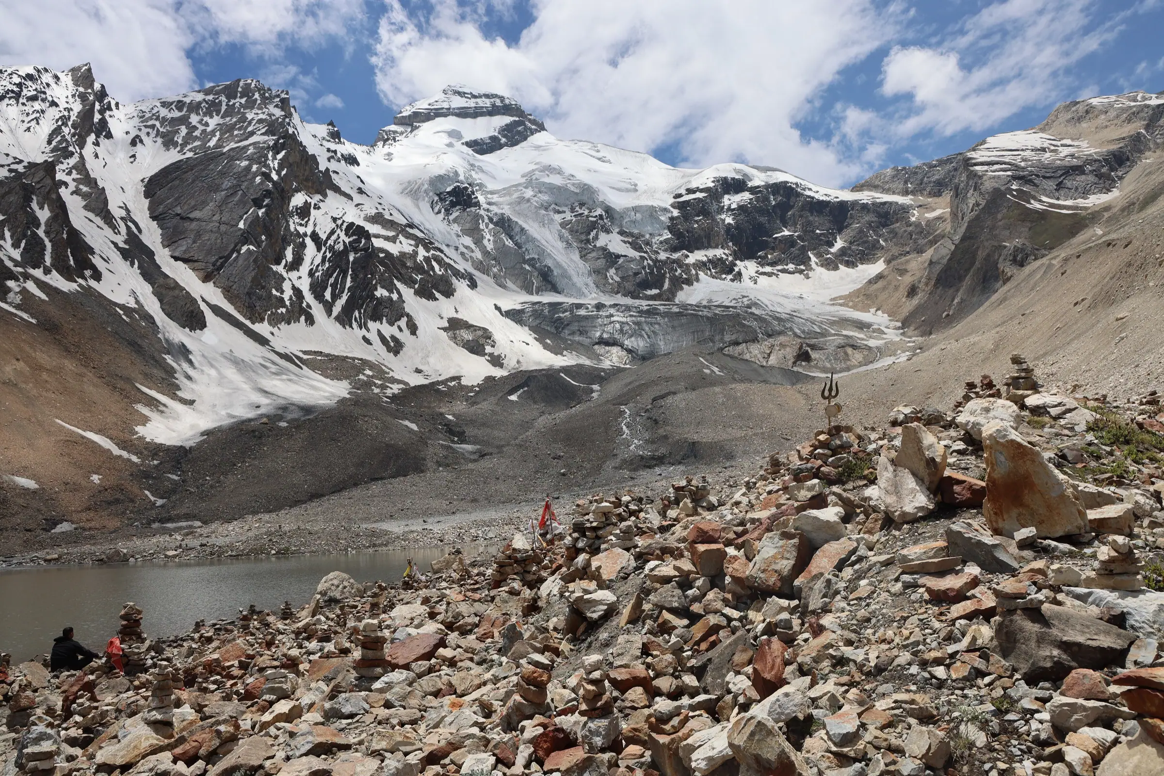
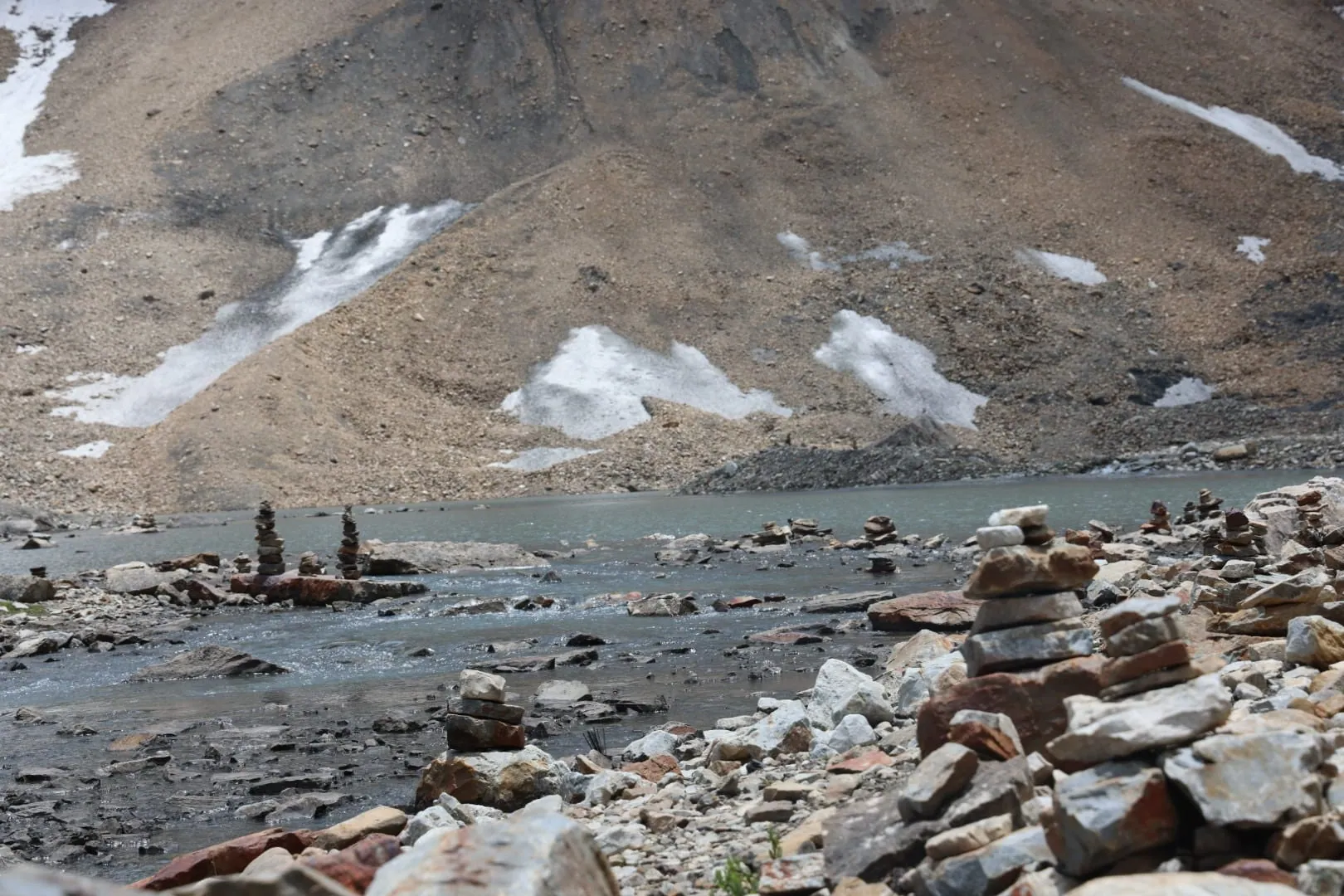
Jolingkong, at about 4,500 m and about 36 km from Gunji, is where the road ends below Adi Kailash, beside Parvati Sarovar.
The Kuti arm ends here. At about 4,500 m the vehicles stop and the mountain stands across its own lake, Parvati Sarovar, where there is a temple at the water and a dip for those who wish, with a May daytime high of 2°C. Gauri Kund is a second, smaller water further on the same ground, and all of it sits inside the Inner Line Permit zone.
The walking is short, the height is the work, and travellers come back down to sleep at 3,200 m the same night. The whole morning, which name belongs to which lake and how far Gauri Kund is, is in the Jolingkong and Parvati Kund guide.
Nabhidhang and Om Parvat
Om Parvat is seen from Nabhidhang, which the road reaches from Gunji on the second high day, with Nag Parvat on the way up.
The second morning takes the other arm of the valley. Nag Parvat stands over the road, the last of the grass disappears, and at Nabhidhang the vehicles stop where the rock face carries the Om: snow gathered in the folds of the mountain in the shape of ॐ.
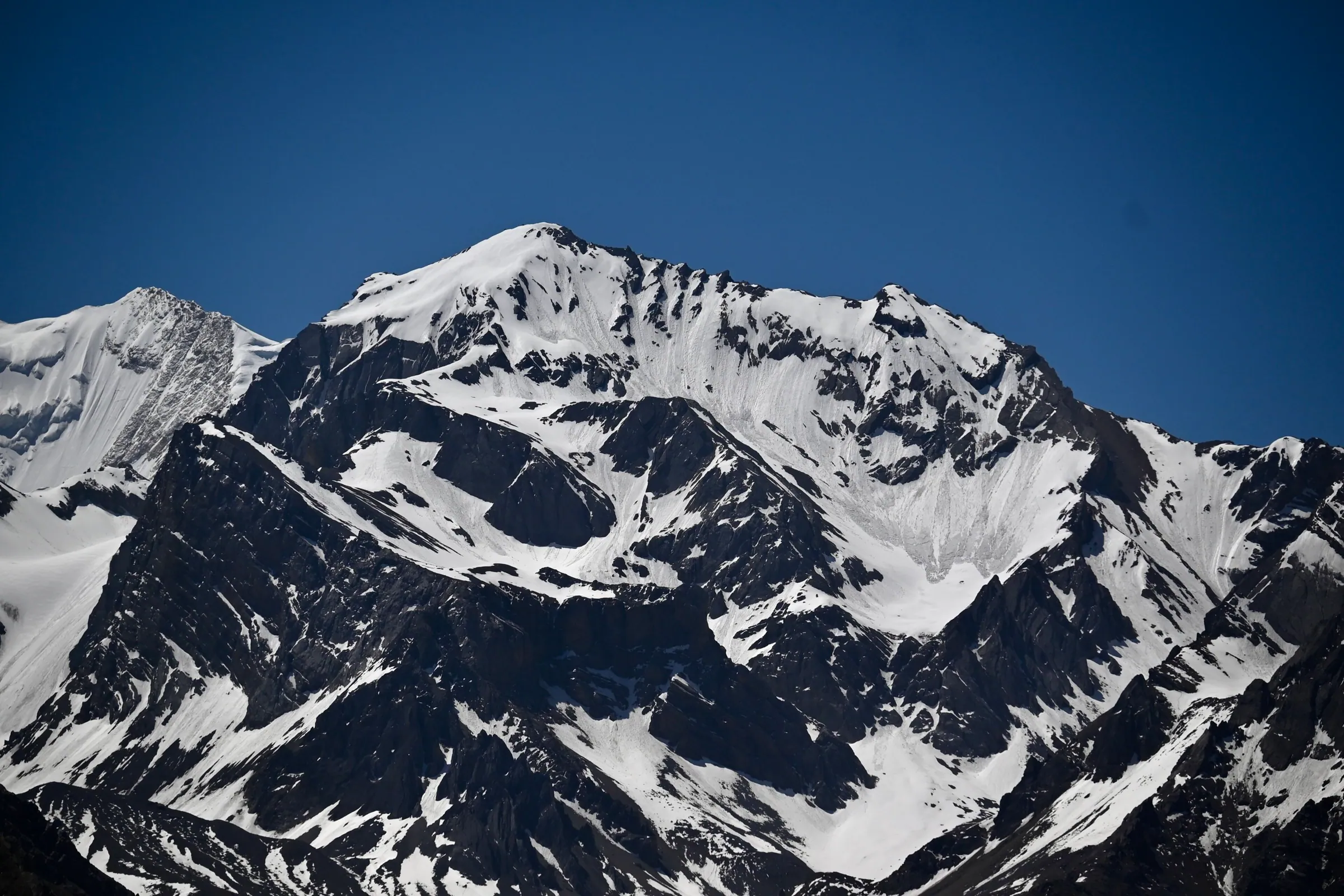
What you see is what the snow has done that week, because the form is made of snow and not of stone. It is a still place, and most groups stay longer there than the plan allows for.
Do you need a separate permit for Om Parvat?
No, the same Inner Line Permit covers it, because Om Parvat is in the same border valley.
One permit, filed by us before you arrive, covers Adi Kailash and Om Parvat, and the Army and ITBP clear the drive on to Lipulekh on the day. You do not need a Chinese visa for any of it: Om Parvat is seen from Indian soil, in Pithoragarh district.
Kalapani, Vyas Gufa and the Kali temple
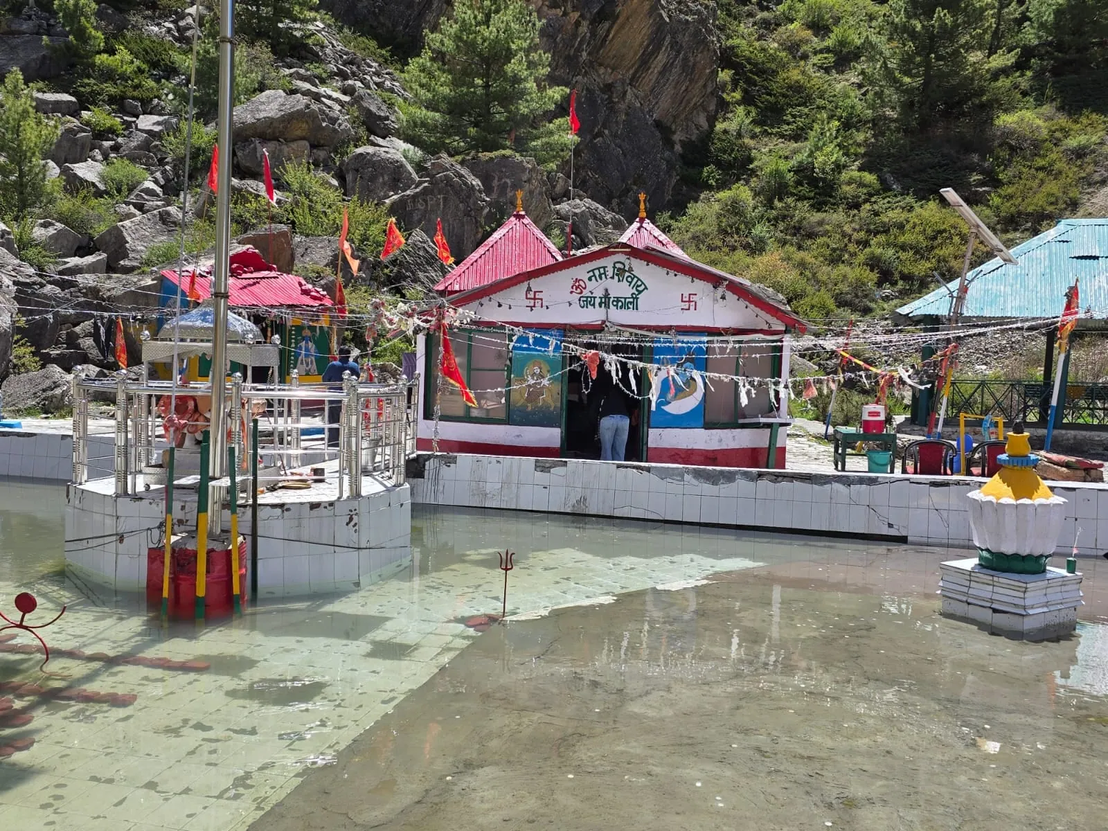
Kalapani lies at about 3,600 m, about 10 km from Gunji, and holds the Kali Mandir, with Vyas Gufa opposite it.
Kalapani comes on the way back down from Om Parvat, and it is the quiet end of that long day. Our groups do a havan together at the Kali Mandir here. Hanuman Parvat stands on the road nearby.
Vyas Gufa
The cave sits across from the temple and carries the same name as the valley itself. It is a short stop, not a climb, and it usually closes the high part of the yatra: from Kalapani the road runs back down past Gunji and Dharchula to Pithoragarh for the night.
Lipulekh: the pass that closes the valley
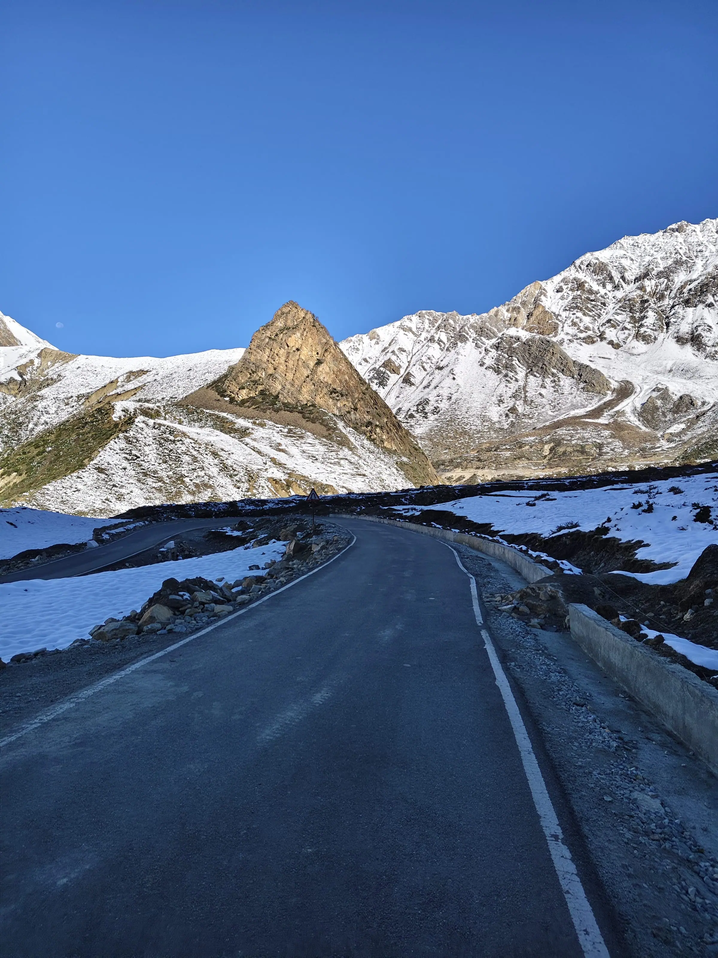
Lipulekh, over 5,000 m, closes the Vyas valley on the Tibet border above Nabhidhang, and is reached as a morning out from Gunji.
It is the highest point this road touches, over 5,000 m, at the head of the valley above Nabhidhang in Pithoragarh district, Uttarakhand. Departures go up on the Om Parvat day and come back down to sleep far lower, at Gunji or Nabi, 3,200 m to about 3,290 m. That is deliberate: thin air, a short time in it, move slowly and say the moment a headache starts.
Who is allowed up, and how far the road is open on a given morning, is settled by the Army and the ITBP on the day, so the plan rests on Om Parvat and Kalapani rather than on a pass. What can actually be seen of Mount Kailash from up there, and why Old Lipulekh and Lipulekh Pass are not the same place, is in where the Kailash view really is.
Narayan Ashram: where it sits on this road
Narayan Ashram is a working ashram founded in 1936, standing above Dharchula on a side road, and it is not a stop on the published Adi Kailash itineraries.
It is one of the most searched names on this road. The ashram stands above Dharchula, 908 m, on the arm that climbs from Tawaghat rather than on the Gunji road, so it is reached as a detour and not as a leg of the valley drive. Narayan Swami founded it in 1936, and it still runs as an ashram, with its own daily order, rather than as a place that takes guests like a hotel.
The Adi Kailash routes here run Pithoragarh, Dharchula, Gunji, Jolingkong, Nabhidhang, Lipulekh and Kalapani, so the ashram is not printed in those day plans. For what the ashram is, how to reach it leg by leg, whether a night there is possible and how to behave inside, read the full Narayan Ashram guide.
Questions travellers ask
The pass Adi Kailash Explore drives to is in Pithoragarh district, Uttarakhand, in India, and travellers reach it on an Indian Inner Line Permit that the company files: no visa, no other country's paperwork. Boundary claims in this area are a matter between governments and appear in the news from time to time. They do not change what a traveller needs in order to visit with us.
Sitting at the head of the Vyas valley on India's border with Tibet, the pass has taken trade and yatra traffic over the Himalaya for centuries. From the Indian side the road ends at the view point above Nabhidhang, and travellers stand on Indian soil to look across. Crossing the pass is not part of any trip we run.
No. Adi Kailash, Om Parvat and the Lipulekh view point are all inside India, in Pithoragarh district, Uttarakhand. What you need is the Inner Line Permit, issued at SDM Dharchula, which we file for you before you arrive using your photo ID and passport-size photographs. Kailash Mansarovar in Tibet is a separate yatra with Chinese permits; this is not that.
It is about 80 km of high border road, and its condition is a weekly matter, not a yearly one. Weather rules it, and a closure can come from the authorities with very little warning. We drive it through the season, so ask us for the current picture for your dates. If a leg is cut, the day is rebuilt within the same valley, and anything that cannot be run is not charged for.
There is no hotel at 3,200 m. High in the valley you sleep in village guest houses and family homestays, at Gunji or at Nabi, about 3,290 m, usually 2 to 5 to a room, with a private room if you ask for one. Breakfast and dinner are included in our packages. Expect simple rooms, hot food, thick blankets and a cold walk to dinner.
Both change often enough that Adi Kailash Explore checks them for each departure rather than publish a figure here. Plan for two days without a reliable signal and tell your family that before you leave. Carry the cash you need from Dharchula, the last town with proper shops on the way up. Ask our office what the situation is for your dates and we will tell you what we find.
Adi Kailash Explore does not publish Narayan Ashram as a stop, so it does not publish what it offers for a night either. Our high-valley nights are at Gunji or Nabi and the lower nights at Pithoragarh. If staying at the ashram matters to you, ask us and we will check what is open there for your dates before you commit to anything.
4 days from Pithoragarh, 5 days from Haldwani and 6 days from Delhi, there and back. Each of those reaches Gunji on the second day of the drive up, Jolingkong for Adi Kailash the next morning, and Nabhidhang, Lipulekh and Kalapani the day after, with the Inner Line Permit done on the way up. Departures run May to November.
How we made this guide
The figures on this page are filled in from data each time it is built, never typed by hand: prices, days and nights from our package pages; road distances from OpenStreetMap, measured by a router (retrieved 22 September 2026); heights from Wikidata, the Copernicus 90 m elevation model and the heights this site publishes; temperatures from 30-year ERA5-Land climate normals, modelled rather than measured at a weather station. If anything here is out of date, tell us on WhatsApp and we will correct it.
- Adi Kailash from Delhi: itinerary and price
- Adi Kailash, short route: itinerary and price
- Adi Kailash & Om Parvat: itinerary and price
- OpenStreetMap contributors, routed with OSRM: road distances · retrieved 22 September 2026
- Wikidata: published elevations · retrieved 24 September 2026
- Copernicus GLO-90 elevation model, via Open-Meteo (heights given as about) · retrieved 24 September 2026
- ERA5-Land climate normals 1991–2020, ECMWF, via Open-Meteo · retrieved 22 September 2026
- District permit portal: steps to get the ILP (read 25 September 2026) · retrieved 26 September 2026
About Adi Kailash Explore
Adi Kailash Explore (adikailash.io) is a tour operator based in Pithoragarh, Uttarakhand, that specialises in one route: Adi Kailash and Om Parvat, the Darma valley and Munsiyari. It runs departures from Delhi, Haldwani and Pithoragarh, and its team files the Inner Line Permit for every Adi Kailash traveller at SDM Dharchula. It is recognised by Uttarakhand Tourism, certified by MSME, Govt. of India (UDYAM-UK-09-0012927) and verified on the NIDHI Portal, and was founded by Vinay Verma. Why travel with us
Keep reading
All posts Adi Kailash13 min read
Adi Kailash, Uttarakhand: The Kailash You Can Drive To
Adi Kailash asks no trekking: the road reaches Jolingkong, about 4,500 m, with short walks at the top. Adi Kailash Explore add an acclimatisation day.Adi Kailash16 min readAdi Kailash Weather and Temperature: Today and by Month
Adi Kailash weather now and for 7 days at Jolingkong, Om Parvat and Gunji; in May Gunji runs 12°C by day. Adi Kailash Explore Adi Kailash12 min read
Adi Kailash Route: Delhi to Jolingkong, Leg by Leg
How to reach Adi Kailash means driving, not trekking: the road runs to Jolingkong at about 4,500 m. Adi Kailash Explore note where the short walks begin.The day-by-day plan
Download the Adi Kailash itinerary for free.
6 days and 5 nights from Delhi, as a 19-page PDF on WhatsApp.Adi Kailash & Om Parvat from Delhi: 6 days and 5 nights, as a 19-page PDF on WhatsApp. Forward it to your family, then ask us anything.
One WhatsApp message. Free, in Hindi or English.Or call +91 76688 58311 · Hindi or English
Adi Kailash & Om Parvat from Delhi
6 days, 5 nights · 19 pages
- Delhistart
- Pithoragarh
- Gunji
- Jolingkong
- Nabhidhang
- Lipulekh
- Jageshwar
- Back to Delhi