Adi Kailash17 min read
Does Your Phone Work Past Dharchula? Signal, Cash, Fuel
Past Dharchula the phone stops being a phone, and Gunji is about 80 km up that road. If you're driving or riding it yourself, three things decide the trip: signal, cash and fuel. Signal, cash and fuel are the three to settle before you climb.
By Deepak Yadav, of the Adi Kailash Explore teamAsk us on WhatsApp
TL;DRThe post in 5 lines
- Dharchula is the last town on this road where a phone behaves like a phone.
- No operator's coverage above Dharchula can be promised, so build the trip around a phone that does nothing up there.
- Ask Adi Kailash Explore what the cash points, the pumps and the phones are doing on the road the week you travel.
- Cold flattens a phone at Gunji, where October nights average 0°C: carry a power bank and keep both of them warm.
- Offline maps, screenshots and one printed set of the permit and ID belong in your bag before you leave Dharchula.
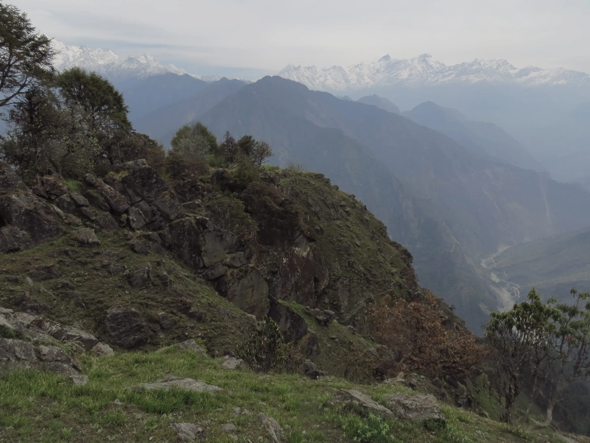
Key facts
- Last town for a working phone
- Dharchula, 908 m, by the pattern rather than a dated check
- Road above it
- About 80 km to Gunji, about 36 km on to Jolingkong
- Highest nights
- Gunji or Nabi, 3,200 m to about 3,290 m
- Nights above the last bazaar
- Two: day two and day three on the Delhi and Haldwani plans
- Season
- May to November, 1 May to 20 November
- Permit
- Applied for online on the Pithoragarh district portal, issued at Dharchula
- Carry on paper
- Permit, government photo ID, passport-size photographs
Does your phone work past Dharchula?
Above Dharchula the phone goes quiet: that is the pattern on this road, not a check on your dates.
Dharchula is where the ordinary world stops. It has a bazaar, hotels, lodges and guest houses, and a phone that behaves like a phone. Above it the road climbs into border villages, and everything to do with a network or a tank gets thinner with each kilometre.
Dharchula sits at 908 m. Your bed at Gunji is at 3,200 m. The road gains all of that height in one long day, and the villages get smaller as it goes. Three roads climb out of Dharchula if you want the town itself first.
Make the long calls from Dharchula, not from the road
Dharchula is the place for them: a bazaar town at 908 m with hotels, lodges and guest houses, as the district's permit portal lists it.
Call home the evening before you go up, not from the road the next morning. Send the photographs, pay what has to be paid, download what you want to read. Then put the phone away.
Why full signal bars still give you no internet
A phone shows the strength of the nearest tower, not whether that tower has a working line to the plains.
That's the gap travellers describe as full signal and no internet. A voice call squeezes through a thin link; a map tile doesn't. In season, everyone in the village is trying at the same hour. One text, sent and forgotten, beats reloading a screen.
What carries a date here, and what is only a pattern
Only a few things about phones on this road can be pinned to a source and a day.
| The question | What a dated source says | Date |
|---|---|---|
| Has a mobile signal ever reached the high villages? | Amar Ujala reported a Jio tower carrying the first mobile call from Kuti village | 16 December 2023 |
| Is the Inner Line Permit online? | The Pithoragarh district portal takes the application online, and the permit comes from the SDM's office at Dharchula | 20 February 2025 |
| What papers does the portal list? | The portal lists the documents, with formats to download | Read 25 September 2026 |
Signal, cash and fuel, stop by stop: Dharchula to Jolingkong
Above Dharchula each stop is a village or a camp, and what you did not carry up, you do without.
The order above Dharchula doesn't change: Tawaghat, then Budhi, then Nabi, then Gunji, where the valley's road forks. One fork runs past Kalapani to Nabhidhang for Om Parvat. The other climbs through Kuti to Jolingkong.

The road in order, with the height at each stop and who's actually there.
| Stop | Height | Cash | Fuel | Who's there |
|---|---|---|---|---|
| Dharchula | 908 m | Draw it in a district town | Not known | Hotels, lodges and guest houses |
| Tawaghat | About 1,160 m | Settle it in the last town | Settle it in the last town | Junction: the Darma road leaves here |
| Budhi | About 2,750 m | Settle it in the last town | Settle it in the last town | Homestays and a KMVN rest house |
| Nabi | About 3,290 m | Settle it in the last town | Settle it in the last town | Most houses serve as homestays |
| Gunji | 3,200 m | Settle it in the last town | Settle it in the last town | KMVN rest house and homestays; the road forks |
| Kalapani | About 3,600 m | Settle it in the last town | Settle it in the last town | ITBP canteen and a defence medical room, no tourist stay |
| Nabhidhang | About 4,250 m | Settle it in the last town | Settle it in the last town | KMVN FRP huts at the Om Parvat viewpoint |
| Kuti | About 3,820 m | Settle it in the last town | Settle it in the last town | Heritage homestays |
| Jolingkong | About 4,500 m | Settle it in the last town | Settle it in the last town | KMVN rest house, beside Parvati Sarovar |
Dharchula to Budhi: where it starts thinning
The first stretch above Dharchula does most of the climbing.
Tawaghat is the junction, where the Dhauli Ganga joins the Kali and the Darma road turns off. Above it the road works upwards to Budhi, about 2,750 m, which has homestays and a KMVN rest house on the district's map. You notice the quiet before you notice the signal.
Nabi and Gunji: where you sleep, and where you'll try to call
Gunji and Nabi hold the nights on this route, 3,200 m to about 3,290 m.
Most houses in Nabi serve as homestays, says the district tourism map, and Gunji has homestays beside the old KMVN rest house. Ask your host where a call sometimes holds in the village. Ask, rather than walking the lanes with the phone held up.
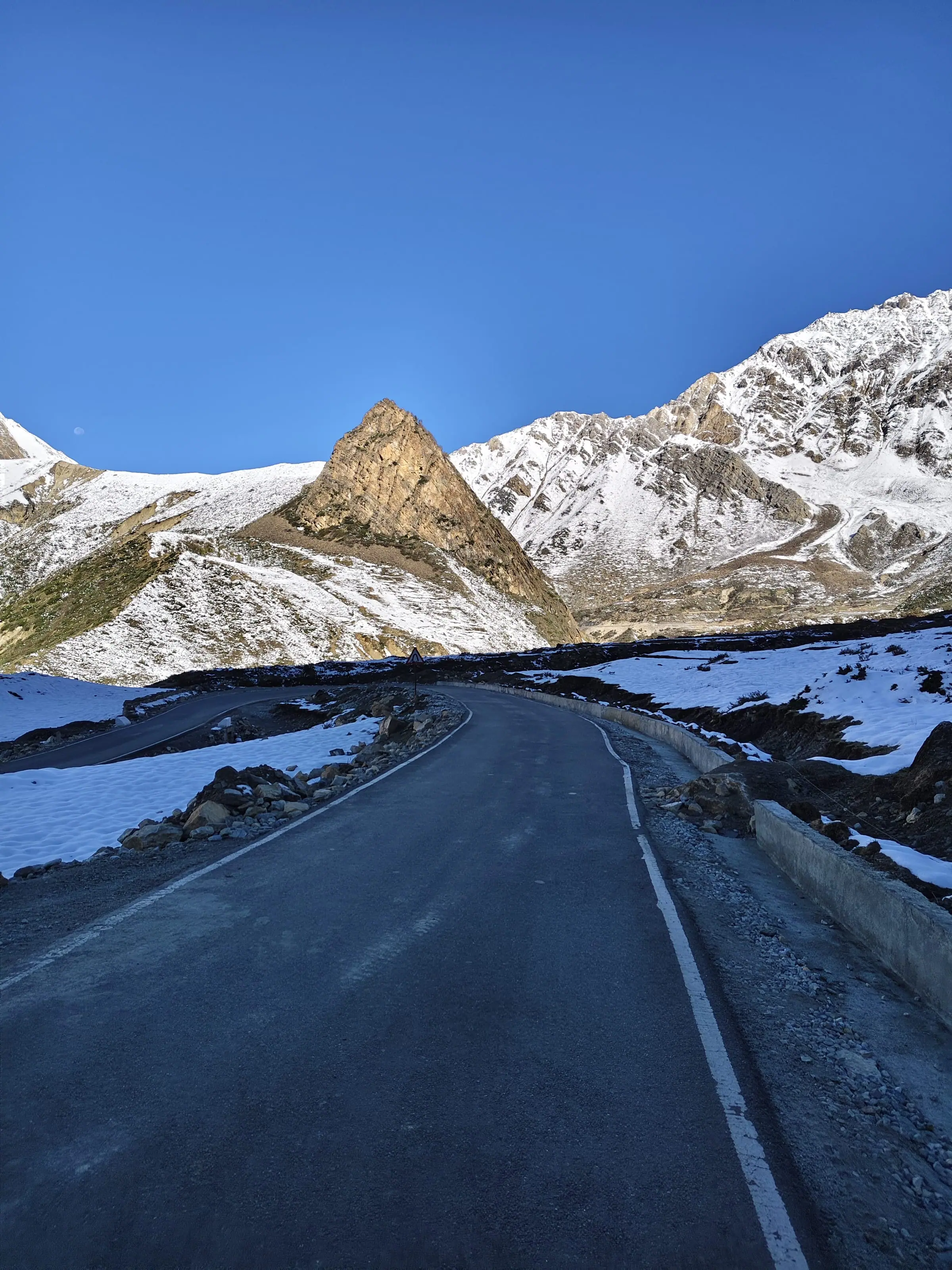
Kalapani, Nabhidhang, Kuti and Jolingkong: plan for nothing
Treat the high stops as off the network, from Kalapani at about 3,600 m up to Jolingkong at about 4,500 m.
Kalapani, about 10 km from Gunji, has an ITBP canteen and no tourist accommodation. Nabhidhang, the Om Parvat viewpoint, has KMVN's FRP huts. Kuti has heritage homestays, and it's the village where that one reported call rang in December 2023.
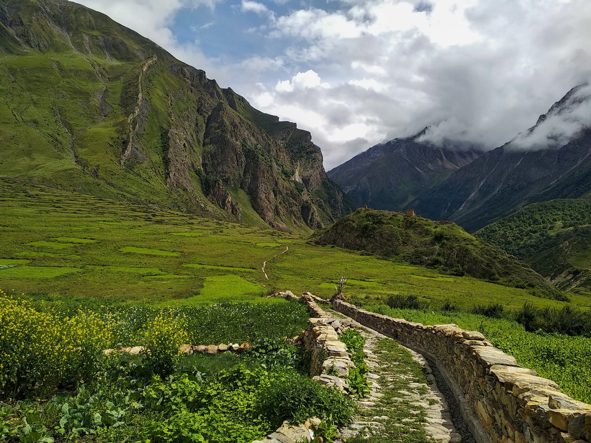
Jolingkong is about 36 km beyond Gunji. The darshan of Adi Kailash is done beside Parvati Sarovar. The morning is short and the cold is real. The phone is not what the morning is for.
Which SIM should you carry, and where do you buy it?
Buy and activate both SIMs in the plains, and keep one for calls and the other for data.
People type which network is best in Uttarakhand. The last stretch above Dharchula answers nothing like it, so decide your SIMs for the plains and treat the high valley as its own case.
Carry two SIMs if your phone takes two. Keep the number your family already calls as the voice SIM, and use the second for data on the way up. Buy and activate both before you travel.
Which SIM works in Gunji and Nabi?
No operator can be promised at Gunji or Nabi, so carry the number your family already calls and ask on the day.
One dated thing exists on the record, and it's a tower, not a promise: Amar Ujala reported a Jio tower carrying the first mobile call from Kuti village on 16 December 2023, which a Kuti homestay operator welcomed for Adi Kailash guests.
Two SIMs in one phone: how to set calls and data
Set one SIM as the default for calls and messages, the other for data, and leave roaming off on both.
- Set your family's number as the default for calls and SMS, so a call back reaches the number they know.
- Put mobile data on the second SIM, and turn data roaming off on both.
- Switch off any battery saver that kills background data while you're still in the plains, then switch it back on above Dharchula.
- Save your operator's customer care number offline. You'll want it if a bill looks wrong.
Travellers from abroad: what an international SIM does here
What an international SIM does above Dharchula is not known, so the permit is the part to settle first.
If you're coming on a foreign passport, the paperwork matters more than the phone. Permits for non-Indian nationals run through a different process than the Inner Line Permit, so write to us before you book anything, and we'll confirm what applies.
Will your phone roam into Nepal or China, and how do you stop it?
Phones close to the border can latch onto a foreign network, so switch data roaming off and pick your operator by hand.
The whole route is inside India. Radio waves don't care. Above Gunji the valley runs along India's borders with Nepal and Tibet, and a phone hunting for any tower at all will take whatever it finds.
- Turn data roaming off before you drive out of Dharchula.
- Change network selection from automatic to manual, and pick your own operator by name.
- In the dead stretches, put the phone in airplane mode. It stops the hunting and saves the battery.
- When signal comes back, read the operator name at the top of the screen before you open anything.
Travellers do report foreign-network charges here. Nobody publishes a figure we would stand behind, so take your dates and your stops to the operator and ask them to show you the network.
Cash: how much to carry, and where to get it
Above Dharchula the valley runs on notes, so draw your cash while you are still in a district town.
Above Dharchula you pay from your pocket. Lunch on the road and personal spending sit outside the package price, and that's the money you keep reaching for. What a trip costs on the road sets out the rest.
Two nights above Dharchula, on both the Delhi and the Haldwani plans.
On the 6-day Delhi plan the nights at Gunji or Nabi fall on day two and day three, and day four brings you back down to Pithoragarh. The Haldwani plan spends the same two nights up there. Size the cash for those days, then add a spare day's worth: the authorities can close the high road at short notice.
Where the last working cash point is
Draw the bulk of it in a district town, because which machine is up in a given week is a local question.
Draw what you need while you're still in a district town, and keep a second card in another pocket. Which cards a machine will take isn't something to assume, so ask while you're in the bazaar with time to spare.
Does UPI work in Gunji or Dantu?
UPI needs the tower, so above Dharchula a payment app is only as good as that hour's signal.
Even where a shop or a kitchen is happy to take it, the payment still has to leave the valley. When the link is down, the screen simply spins. Cash removes the whole question, and that's the only reason to carry a fat envelope on a trip like this.
How much, and in which notes
Small notes, and more of them than you think: hundreds and fifties, not one large note.
Split the cash between two people and two bags. If you're travelling with elderly parents, keep their share separate as well.
Fuel: the kilometres past the last pump
You drive the whole climb to Gunji and Jolingkong twice, up and down.
Gunji is about 80 km above the last town. Jolingkong is about 36 km past Gunji, and you drive all of it back. The Om Parvat day adds its own run out to Nabhidhang and down again.
For a self-driver or a rider, it's a question answered before the climb, never on it. The gap after Dharchula covers the rest of doing this road on your own.
Which pump, and how many litres
Ask us which pump and how many litres our drivers plan for your vehicle.
The litres change with the vehicle and the month. Ask us what our drivers plan for your car.
Motorcycles and scooters
Spare fuel travels in a proper can and nothing else, and the climb decides what a small machine can do.
Riders ask whether a scooter manages Gunji to Jolingkong. It's a driven road, not a trek, but it's a high border road with long climbs, and your machine and your mechanic decide that one. Our own advice is to carry spare fuel in a proper can, strapped down, rather than in a bottle.
Travellers do report buying fuel informally higher up. We don't arrange it, we won't price it, and we wouldn't build a ride around it.
Up the Darma valley: Sobla, Dugtu and Dantu
The Darma road leaves the Kali at Tawaghat and climbs to Dantu, about 3,150 m, under the same rule as the Vyas road.
Dharchula to Sobla measures about 37 km, and the road carries on above it through Dar and Nagling to Dugtu and Dantu. Sobla stands at about 1,870 m. Dantu is at about 3,150 m, and the Panchachuli peaks close the head of the valley.
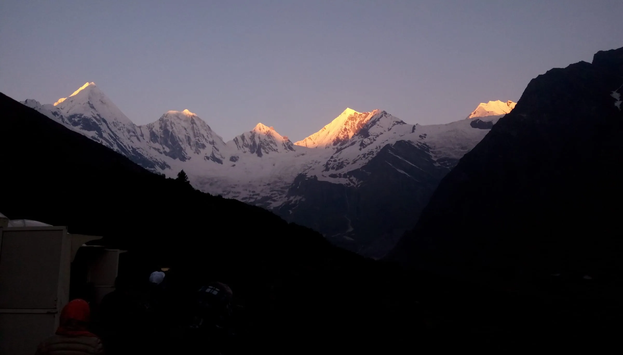
The villages take guests. Amar Ujala reported homestays full at Dugtu and Dantu in late May 2026, the same season the Vyas villages filled up. A homestay will find you a bed. It can't put a tower on the ridge.
So treat the Darma road like the Vyas road: the phone, the money and the fuel are your own load from Dharchula up. Anything more specific than that changes by the season, so send us your dates and we'll tell you the current picture. Where the tarmac ends has the drive, and how far Dantu is without a car has the rest.
What to set up on your phone before you leave Dharchula
Download the maps, print the papers and charge the power bank while Dharchula still has signal.
Offline maps for Dharchula to Jolingkong, step by step
Download the route in three pieces while you're still on wifi, then test them in airplane mode.
- On wifi at home, open your maps app and download the area around Pithoragarh and Dharchula.
- Download a second area covering Dharchula, Tawaghat, Budhi, Nabi and Gunji.
- Download a third for Gunji to Kuti and Jolingkong, and the road out to Kalapani and Nabhidhang.
- If Darma is in your plan, add Tawaghat to Sobla, Dugtu and Dantu.
- Turn on airplane mode and open each one. Better to find the gap in your drawing room.
Permit, ID and bookings: screenshot, then print
Carry paper, because permit checks happen at points where a phone may be flat, cold or dead.
Required: a government photo ID on you, passport-size photographs, and the permit itself. Adi Kailash Explore files it online on the Pithoragarh district portal before you arrive, and it comes from the SDM's office at Dharchula. The portal also lists a medical fitness certificate signed by a registered doctor and a self-declaration affidavit, with formats to download (read 25 September 2026).
Sensible, not required: a screenshot of each paper, a photograph of your ID, your booking confirmation, and your vehicle number written down. Keep one printed set in a plastic sleeve, and a second set in somebody else's bag. The permit you fill in yourself has the forms and the order they go in.
Power bank, charging and what the cold does
Cold flattens a battery, and nights at Gunji sit near freezing at each end of the season.
In May, Gunji nights average 1°C, with 10 frost nights in the month. By October the low is 0°C and the frost nights run to 14. Up at Jolingkong, the May daytime high is 2°C.
So sleep with the phone and the power bank inside your sleeping bag, not on the windowsill. Charge everything at Dharchula and arrive full. How cold the nights get has the month-by-month figures.
What to carry, beyond the phone
Four things the road and the checks require; the rest is sensible packing.
- Required: government photo ID, on your person, not in the boot.
- Required: passport-size photographs and the permit papers the district portal lists.
- Required: cash in small notes for every day above Dharchula.
- Required: a full tank before the climb, if the vehicle is yours.
- Sensible: a charged power bank and its cable, carried warm.
- Sensible: one printed set of papers in a plastic sleeve.
- Sensible: offline maps on two phones in the group, not one.
- Sensible: warm layers for the nights, in every month of the season.
If something goes wrong and there's no signal
Help on this road comes through people: your driver, your host, and the posts along the way.
Reaching help here means reaching a person, not the internet. The district's map marks an ITBP canteen and a defence medical room at Kalapani, and there are checkposts on the climb.
Whether a satellite set or a working link is live at Gunji in a given season changes, and so does who may use it. Ask before you drive up. Then tell your own group, each evening, where the nearest post is.
Altitude matters more than any of this. The high nights are at Gunji or Nabi, 3,200 m to about 3,290 m, our vehicles carry oxygen, and the plan has an acclimatisation day in it. A headache that keeps getting worse at Gunji is something to tell your guide early. Anything personal, blood pressure, a heart or a lung condition, pregnancy, recent surgery, belongs with your own doctor first.
What you tell family at home before you go
Leave one number that reaches a human, and name the days when nobody will hear from you.
Families worry when the calls stop, and usually because nobody warned them that silence is the normal state of this road.
Set the rhythm before you go up. Call from Dharchula on the evening before the climb. The next call to plan on is on the way down, from Pithoragarh. Anything that gets through in between is extra, not a schedule.
Give them the shape of the days as well. On the 6-day Delhi plan, the nights at Gunji or Nabi are day two and day three, and day four comes back down to Pithoragarh. Then a quiet Tuesday reads as the road, not as trouble.
If you'd rather not run the cash, fuel and permit side yourself, Adi Kailash from Delhi covers 6 days at ₹30,300 a person, with the permit filed before you arrive and the vehicle held for the high road.
Questions travellers ask
Departures run May to November, from 1 May to 20 November. Inside that window the high road is weather-dependent, and the authorities can close it at short notice; days the road doesn't allow aren't charged, and a cut leg is rerouted within the same valley. For the climb stretch by stretch, see the Dharchula to Gunji road, and ask on WhatsApp for your own week.
Not physically tough for most travellers: the route is driven, with short walks at the darshan points. The road reaches about 4,500 m at Jolingkong and over 5,000 m at Lipulekh, and the highest nights are at Gunji or Nabi, 3,200 m to about 3,290 m. Altitude is what it asks of you, which is why the plan carries an acclimatisation day and oxygen in the vehicles.
Delhi to Gunji measures about 648 km by road, through Pithoragarh and Dharchula. Jolingkong lies beyond Gunji, at the end of the road. From Kathgodam, the railhead beside Haldwani, Dharchula is about 273 km. Tanakpur is nearer by road, about 238 km. The route leg by leg gives the order of the towns.
No. Adi Kailash Explore can't point you to a satellite line a traveller may use, and whether a link at Gunji is live changes by the season. Ask your host and your driver what is working that week. Plan your calls around Dharchula on the way up and Pithoragarh on the way down, and let anything in between be extra.
Oxygen percentages at altitude belong with your own doctor, with the route's heights in front of them. The heights are published: Gunji at 3,200 m, Jolingkong at about 4,500 m, Lipulekh at over 5,000 m. What thin air does to you depends on your health, not on a figure from a page. Vehicles on these trips carry oxygen, and the itinerary builds in an acclimatisation day.
Carry paper. Permit and ID checks happen on the road, at points where your phone may be flat, frozen or out of signal, and a dead screen is not a document. Keep the printed permit, your government photo ID and the photographs on your person, with screenshots as the backup rather than the plan.
How we made this guide
The figures on this page are filled in from data each time it is built, never typed by hand: prices, days and nights from our package pages; road distances from OpenStreetMap, measured by a router (retrieved 22 September 2026); heights from Wikidata, the Copernicus 90 m elevation model and the heights this site publishes; temperatures from 30-year ERA5-Land climate normals, modelled rather than measured at a weather station. If anything here is out of date, tell us on WhatsApp and we will correct it.
- Adi Kailash from Delhi: itinerary and price
- Adi Kailash & Om Parvat: itinerary and price
- OpenStreetMap contributors, routed with OSRM: road distances · retrieved 22 September 2026
- Wikidata: published elevations · retrieved 24 September 2026
- Copernicus GLO-90 elevation model, via Open-Meteo (heights given as about) · retrieved 24 September 2026
- ERA5-Land climate normals 1991–2020, ECMWF, via Open-Meteo · retrieved 22 September 2026
- Amar Ujala: first mobile call rings in Kuti village, Vyas valley (16 December 2023)
- Amar Ujala: inner line permits to be issued online (20 February 2025)
- District permit portal, Pithoragarh: steps to get the ILP
- District Administration Pithoragarh: accommodation options near Adi Kailash
- District tourism map, Pithoragarh Destination (Google My Maps)
- Amar Ujala: tourist influx in Darma and Vyas valleys (31 May 2026)
About Adi Kailash Explore
Adi Kailash Explore (adikailash.io) is a tour operator based in Pithoragarh, Uttarakhand, that specialises in one route: Adi Kailash and Om Parvat, the Darma valley and Munsiyari. It runs departures from Delhi, Haldwani and Pithoragarh, and its team files the Inner Line Permit for every Adi Kailash traveller at SDM Dharchula. It is recognised by Uttarakhand Tourism, certified by MSME, Govt. of India (UDYAM-UK-09-0012927) and verified on the NIDHI Portal, and was founded by Vinay Verma. Why travel with us
Keep reading
All postsAdi Kailash16 min readDharchula, Uttarakhand: The Last Ordinary Town North
Dharchula has no railway station and no airport: Tanakpur railhead lies about 238 km away by road. Adi Kailash Explore list the bus and taxi legs.Adi Kailash17 min readCan You Do the Adi Kailash Yatra Without a Tour Package?
The Adi Kailash yatra without a tour package runs to Dharchula by bus. Gunji lies about 80 km on with no scheduled service. Adi Kailash Explore drive it.Adi Kailash16 min readDharchula to Gunji Road Condition, in the Order You Meet It
Dharchula to Gunji is about 80 km of road from 908 m to 3,200 m, and the condition changes by stretch. Adi Kailash Explore name them in order.The day-by-day plan
Download the Adi Kailash itinerary for free.
6 days and 5 nights from Delhi, as a 19-page PDF on WhatsApp.Adi Kailash & Om Parvat from Delhi: 6 days and 5 nights, as a 19-page PDF on WhatsApp. Forward it to your family, then ask us anything.
One WhatsApp message. Free, in Hindi or English.Or call +91 76688 58311 · Hindi or English
Adi Kailash & Om Parvat from Delhi
6 days, 5 nights · 19 pages
- Delhistart
- Pithoragarh
- Gunji
- Jolingkong
- Nabhidhang
- Lipulekh
- Jageshwar
- Back to Delhi
