Darma Valley17 min read
Delhi to Darma Valley by road, and the point where the good tarmac ends
Darma Valley is a drive: about 570 km from Delhi to Dharchula. The valley road then leaves the Kali at Tawaghat and climbs about 37 km more to Sobla. Those figures are measured on OpenStreetMap along the road a vehicle actually takes, not a range copied from page to page. Below: the route stop by stop with the height at each one, the same answer from Haldwani, Pithoragarh and Tanakpur, and a straight account of where the good road ends.
By Vinay Verma, founder of Adi Kailash ExploreAsk us on WhatsApp
TL;DRThe post in 5 lines
- Tawaghat is where the Darma road leaves the Kali for the Dhauli Ganga, going up through Sobla, about 37 km out of Dharchula, to Dugtu and Dantu.
- The road order is Delhi, Kathgodam, Pithoragarh, Dharchula, Tawaghat, Sobla, then Dugtu and Dantu, climbing all the way from the plains at 221 m.
- Haldwani to Dharchula is about 276 km, Pithoragarh to Dharchula about 91 km, and Tanakpur, the closest railhead by road, about 238 km.
- Adi Kailash Explore runs Darma Valley as a 6-day trip from Delhi at ₹55,000 a person, with departures between 1 May and 20 November.
- Without your own vehicle the journey restarts at Dharchula with a hired or shared jeep, and the Tawaghat to Sobla road shifts through the season, so check your own dates.
Key facts
- Location
- Upper Dhauli Ganga valley, Pithoragarh district, Uttarakhand
- Distance from Delhi
- About 570 km to Dharchula, then about 37 km to Sobla
- Distance from Haldwani
- About 276 km to Dharchula
- Nearest railhead
- Tanakpur, about 238 km from Dharchula; Kathgodam is about 273 km
- Nearest airport
- Naini Saini, Pithoragarh
- Departures
- 1 May to 20 November
- Trip length
- 6 days from Delhi, 6 days from Haldwani
- Cost
- ₹55,000 a person from Delhi, ₹50,000 from Haldwani
How far is Darma Valley from Delhi?
Delhi to Dharchula is about 570 km by road, and Sobla, on the Darma road above the Tawaghat turn-off, is about 37 km beyond it.
Darma Valley has no railway station and no town at its mouth, so the distance question splits in two. How far to Dharchula, the last place of any size on the Kali. Then how far from Dharchula to the point where the valley road leaves the main road and starts climbing.
Delhi to Dharchula by road
Delhi to Dharchula is about 570 km, driven by way of Kathgodam and Pithoragarh.
You run out of Delhi to Kathgodam, then climb through the Kumaon hills to Pithoragarh at 1,645 m. After that the road drops into the Kali valley, to Dharchula at 908 m. Delhi to Pithoragarh alone comes to about 480 km.
Dharchula to Sobla, by way of the Tawaghat turn-off
Sobla is about 37 km from Dharchula, reached past the Tawaghat junction where the Dhauli Ganga joins the Kali.
Sobla sits a good deal higher than Dharchula at 908 m, and it is the last name on this road that most maps bother to print. Above it the valley widens towards Dugtu and Dantu.
Why published figures differ by up to 100 km
Published figures for this drive run from 550 to 650 km because pages measure to different end points and by different routes.
Some count as far as Dharchula, some to Sobla, some all the way up to Dugtu or Dantu, and one approach comes in by Tanakpur rather than Kathgodam. Two such numbers can both be correct and still sit 100 km apart. Fix the end point first, and the number starts to mean something.
How long the drive really takes
Delhi to Darma Valley is not a one-day drive going in: the trip takes two driving days, with a night at Pithoragarh.
No per-leg hour figure appears on this page, and that is deliberate. The honest number depends on the month, on how the Kumaon hill traffic is moving, and on what the road above Tawaghat is doing that week. A routing app's estimate would only tempt you into planning a day that cannot be driven.
One thing is worth saying flatly. The stretch from Tawaghat up to Sobla and into the valley should not be driven after dark, so any sensible plan is built to reach the village in daylight.
The drive leg by leg, with distance and height
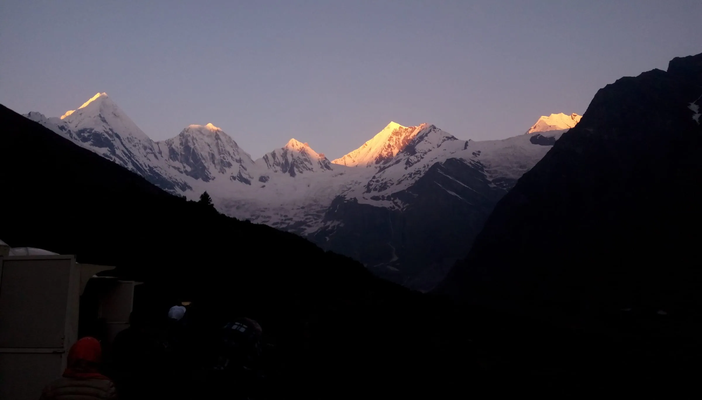
Stop by stop the drive goes Delhi, Kathgodam, Pithoragarh, Dharchula, Tawaghat, Sobla, and at the head of it Dugtu and Dantu, the base villages beneath the Panchachuli peaks.
| Stop | km from the stop above | Height |
|---|---|---|
| Delhi | start | 221 m |
| Kathgodam and Haldwani | 292 | 424 m |
| Pithoragarh | 183 | 1,645 m |
| Dharchula | 91 | 908 m |
| Sobla | 37 | not in our measured data |
| Dugtu and Dantu | not in our measured data | not in our measured data |
Delhi to Kathgodam: about 292 km
Plains highway, and the easiest driving of the whole trip. Most groups pull out of Delhi early so the hill road gets done in daylight. Leave late and you pay for it the next day.
Kathgodam to Pithoragarh: about 183 km
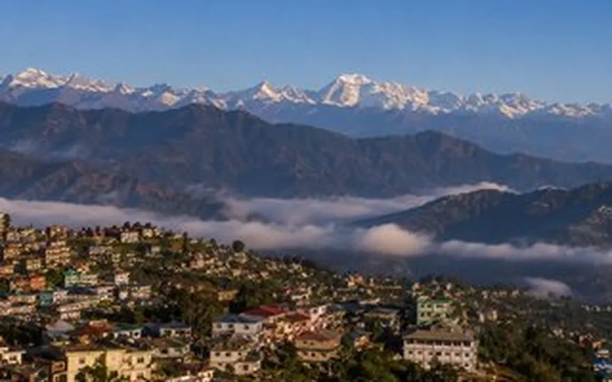
Here the driving changes character. The road climbs and turns for hours through Kumaon before dropping into Pithoragarh at 1,645 m, a town with hotels, hospitals and a bazaar. That is why it has become the standard first night on the way to Darma.
Pithoragarh to Dharchula: about 91 km
You will find this leg given anywhere from 35 km to 100 km online. Measured along the road, by way of Jauljibi where the Gori meets the Kali, it works out at about 91 km, and it loses height the whole way down to 908 m.
Dharchula to Tawaghat and Sobla: about 37 km
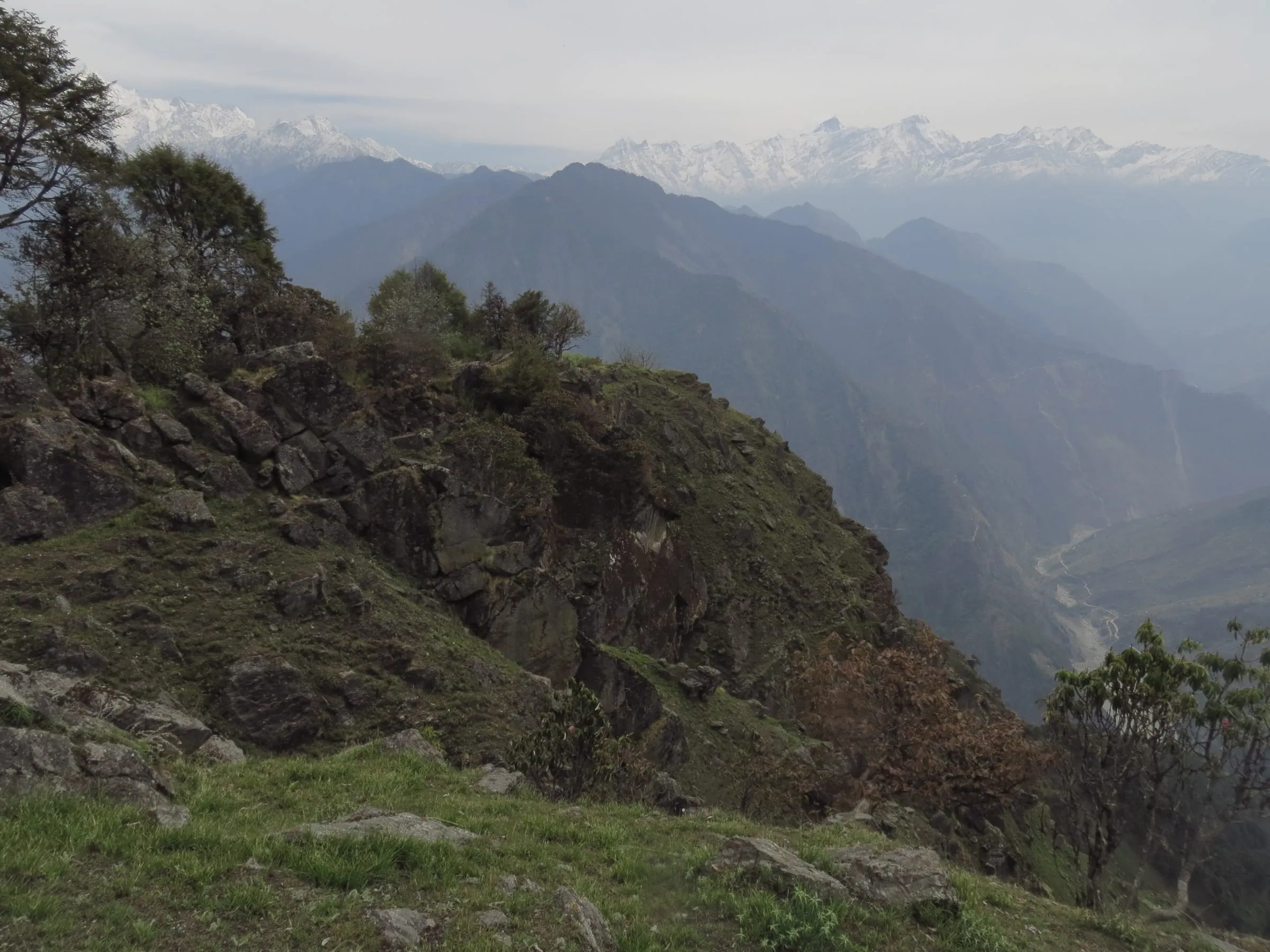
Out of Dharchula the road follows the Kali upstream to Tawaghat. There the valleys part: one road carries on up the Kali towards Gunji and the Adi Kailash side, the other swings left along the Dhauli Ganga for Darma. From Tawaghat to Sobla it is hill road in the true sense, narrow in places, with the river a long way below your wheels.
Sobla to Dugtu and Dantu: the last stretch
Above Sobla the road runs past Dar and Nagling and climbs to the two villages at the head of the valley, Dugtu and Dantu. That last stretch is not in our measured set, so no kilometre figure for it appears here. What happens on our own trips is plain enough: the vehicle goes up to Dantu, and the nights are spent in a homestay in that village.
Distance to Darma Valley from Dharchula, Pithoragarh, Haldwani and other starts
Dharchula to Sobla is about 37 km; Dharchula sits about 91 km from Pithoragarh, about 276 km from Haldwani and about 238 km from Tanakpur.
If you are already in the hills the arithmetic is short. Pithoragarh stays the practical base and the night stop on both Darma trips run from the plains, and from Dharchula itself the valley is a half-day matter, with the climb above Tawaghat eating the clock rather than the kilometres. Dehradun, Rishikesh and Almora are not in our measured set, so send your starting town and the distance gets worked out properly before the days are shaped.
Munsiyari is the one hill start travellers ask about most, about 94 km from Dharchula by way of Jauljibi, which makes the two valleys one road trip rather than two: the Munsiyari to Darma Valley drive, stop by stop with the nights has that leg in full, including which valley to take first.
Can you reach Darma Valley by car?
Darma Valley is reached by vehicle, not on foot, and how the road rides above Tawaghat changes with the season and the last rain.
This is the question families ask most often, usually with a sedan in the driveway and elderly parents in the plan. The valley is a driving destination, so the answer is yes in principle. What changes is which vehicle, and who is at the wheel.
Where the good road ends
As far as Dharchula you are on an ordinary Uttarakhand highway: narrow, busy in patches, but tar. Tawaghat is where that comfort runs out. Beyond it the valley road is built for hill traffic, and a low car starts scraping wherever the surface has broken up.
Do you need a 4x4, or is ground clearance enough?
Above Tawaghat, how the road rides turns on what the last spell of rain did, and it is not a thing anyone should settle from a desk in September for a trip in June. The drivers who work this road through the season know week by week what it is asking for.
Water crossings, gravel and landslide patches
Above Tawaghat, expect the ordinary character of a hill road rather than any single condition: streams running across the surface, lengths of loose gravel, and cut-throughs where a slide has been pushed aside. All of it shifts inside one season, sometimes inside a week, and no page can describe a particular kilometre as it stands today.
Self-drive, or a hired vehicle with a local driver
If you drive hills often and your vehicle sits high, self-drive up to the valley is a real option, and people do it. If your group has parents, small children or anyone who will be frightened on an exposed edge, a driver who has taken that road many times is worth more than any feature on the car. On our trips, driver and vehicle come inside the package.
Where the vehicle stops and the walk begins
You are carried as far as Dantu, and the walking starts from the village lane. The valley day pushes up towards Zero Point and the foot of Panchachuli for as long as the surface allows, with Duktu taken in on the way back, so how much of it you walk depends on where the driver has to leave the vehicle. That call belongs to the morning and to the village, not to a plan made weeks earlier.
How to reach Darma Valley by bus, train and air
Tanakpur is the nearest railhead by road, about 238 km from Dharchula, and Naini Saini at Pithoragarh the nearest airport. Nothing public runs into the valley itself.
Every approach without a private vehicle works the same way: reach Dharchula by train or bus, then settle the valley road from there. Kathgodam, the railhead beside Haldwani, is about 273 km away, the longer of the two roads in, and our Haldwani departures pick up in Haldwani rather than at the station. Whether a bus is running on your dates is a question for the bus counter, not a website.
What leaves Dharchula for the villages, shared jeep or hired vehicle, changes with the week and the road: getting from Dharchula to Dantu without a car sets out how travellers manage that leg and what it costs.
Do you need a permit for Darma Valley?
Government photo identification should be carried on this border road, and Adi Kailash Explore will set out in advance what a Darma trip needs on your own dates.
Most of what is written about papers for this valley carries no date on it, passed forward from one page to the next. A traveller then reaches a barrier holding an assumption instead of a document. So take from here only what this company is willing to put its name to.
Inner line rules, and where Darma sits in them
Restricted valleys in this district need an inner line permit. You file it online through the district's permit portal, and the SDM's office at Dharchula issues it. For the Vyas valley, the road climbing towards Adi Kailash and Om Parvat, that filing is done before a traveller ever reaches Kumaon. Darma is a separate valley with its own position, and on a page that will be read for years, checking that position against your dates is worth more than printing a rule.
What to carry in the vehicle
Keep an identity card issued by a government department in your pocket rather than in a bag in the boot, and put a few passport photographs between the group. This is a border district. We have not confirmed what gets checked on the Darma road, so keep your papers where you can reach them in case they are asked for.
How Darma differs from the Adi Kailash and Om Parvat road
Inner line rules press hardest further east, on the road up the Kali to Gunji, Nabhidhang and Lipulekh, where one permit carries a traveller through the whole high valley. That process has its own page: what the Inner Line Permit involves. Do not carry its assumptions into Darma. The two roads share only their lower kilometres, then separate for good at Tawaghat.
When is the road to Darma Valley open?
Darma departures run from 1 May to 20 November, and the 30-year record at Dharchula puts the heaviest rain of that window in July and August.
Rain and snow decide the season here, not a gate. May and June give the clearest driving and the steadiest view of the peaks. September and October bring cool, settled air once the monsoon has finished with the slopes.
| Month | Day high | Night low | Rain (mm) |
|---|---|---|---|
| May | 28°C | 16°C | 40 mm |
| June | 28°C | 20°C | 180 mm |
| July | 27°C | 22°C | 495 mm |
| August | 27°C | 22°C | 449 mm |
| September | 26°C | 19°C | 191 mm |
| October | 24°C | 13°C | 30 mm |
July and August: what the rain record shows
At Dharchula the record puts 495 mm of rain into July and 449 mm into August, against 40 mm in May. That gap is the whole argument. The trouble is not the discomfort of getting wet, it is what so much water does to a cut hill slope hanging over a single-lane road with no alternative.
Winter, and why the villages empty
The valley is home to Rung families, and their homestays are where the nights up the valley are spent. Once the villages close there is no bed to be had and little purpose in keeping the road clear. That is why departures finish on 20 November.
Is Darma Valley open right now?
This page was written in late September 2026. Departures to Darma run until 20 November, so late September and October fall inside the window we work, and 1 May onwards is the other half of it. Whether a given day's road is passable after a spell of rain is a separate question, and nobody should answer it weeks in advance.
How many days do you need from Delhi?
Four days from Delhi is the working minimum: two driving days in, a full day in the valley, and the long drive back out.
The drive is the trip here. Accept that, and the arithmetic goes simple: the kilometres cannot be bought back, so the only variable left is how much time the valley gets once you are standing in it.
A 3-day attempt from Delhi
Three days from Delhi leaves no day in the valley and no margin, so Darma is better planned as four.
On three days you reach Dantu late on the second and turn around on the third. No Panchachuli morning, no base camp, and nothing in hand if the road above Tawaghat holds you two hours. It works on a calendar and not on the ground.
The 4-day shape we run from Delhi
- Day 1: Delhi to Pithoragarh, and a night in the town at 1,645 m.
- Day 2: on through Dharchula and Sobla, then up to Dantu past river gorges and hanging valleys, with the first real snow peaks of the trip. Night in a Dantu homestay.
- Day 3: the valley day, going as high as the road allows towards Zero Point and the foot of Panchachuli, then Duktu on the way down, and a second night at Dantu.
- Day 4: down the valley and the long drive back to Delhi.
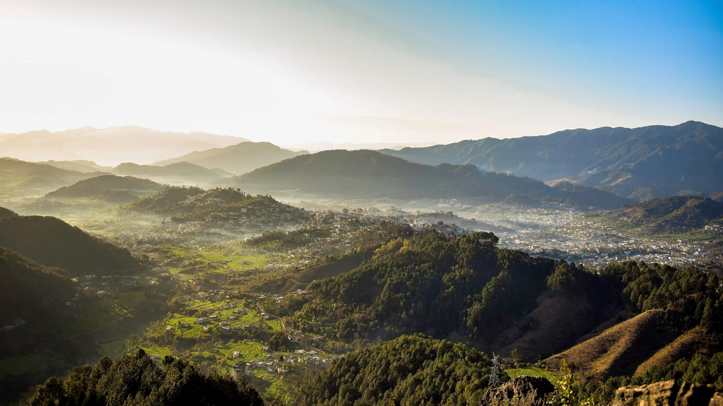
That is the Darma Valley from Delhi package, 6 days and 5 nights, at ₹55,000 a person. From Haldwani the same valley takes 6 days, reaching Dantu on the first day by way of Pithoragarh.
Adding the Panchachuli base camp walk
The base camp morning is the reason to give the valley a whole day instead of half of one. How far you walk depends on where the vehicle can be left, and that judgement is made in the village by people who went up the week before.
Adding Munsiyari or the Adi Kailash road
Munsiyari sits about 94 km from Dharchula, which makes it a natural addition on the way down. As far as Tawaghat, the Adi Kailash road is this same road, so the two join cleanly if the days are there. The Adi Kailash road guide has its legs and stops. Either addition has to be settled before planning, because the nights and the paperwork both change.
Before you leave Dharchula: fuel, cash and network
Dharchula is the last town on this route with a market, fuel and banking, so fill the tank and draw cash before the Tawaghat turn.
Above Dharchula you are among villages, not towns: homestays, tea and hot food, and none of the infrastructure a road trip leans on. Carry small notes for your whole time up the valley, and expect usable signal to thin out above the town and to be weak or absent by the time the road reaches Sobla, about 37 km on.
Which SIM holds on, how much cash is enough, and how far the kilometres run past the last pump are set out stop by stop in signal, cash and fuel past Dharchula.
Darma Valley on the map
Darma Valley lies in Pithoragarh district, Uttarakhand: the road leaves the Kali at Tawaghat, reaches Sobla, then climbs to Dugtu and Dantu.
Hold Dharchula in your head and the map arranges itself. The Kali runs south past the town with Nepal on its far bank. Upstream at Tawaghat a second river comes in from the north west, the Dhauli Ganga, and its valley is Darma.

District, river and the neighbours
The valley lies in Pithoragarh district, Uttarakhand, with the Vyas valley and the Adi Kailash road to its east, the Gori valley and Munsiyari to its west, and the Tibet border beyond its head. Between Darma and the Gori stand the Panchachuli peaks, which is why both valleys claim the same mountains.
The villages in road order
Turning off the main road you pass Sobla, then Dar, then Nagling, and at the top the pair, Dugtu and Dantu. Dantu is where our nights in the valley are spent.
Tawaghat, where two famous roads split
Tawaghat is worth knowing by name because it is the junction. Straight on up the Kali lie Gunji, Nabhidhang and Lipulekh. Left at Tawaghat, up the river coming in from the north west, lies Darma. Travellers who have done one road often come back for the other, and this is where the two meet.
Darma and Munsiyari: the same peaks from two sides
From inside Darma you stand almost beneath the Panchachuli. From Munsiyari, across the Gori, you get the whole five-peak line at sunrise. The name is explained in these hills as five cooking fires the Pandava brothers left behind, and it is told as their story rather than as history. If the second view interests you, Munsiyari's road and weather has it.
What a Darma Valley trip costs
A Darma Valley trip costs ₹50,000 a person for 6 days from Haldwani and ₹55,000 a person for 6 days from Delhi.
Inside a package that price carries the vehicle and driver both ways, the rooms including the homestay nights up the valley, breakfast and dinner, and the team on the ground with you. Lunch on the road and whatever you spend on yourself stays outside it.
What changes the cost of getting there
- Where you start: Delhi adds a full driving day at each end compared with Haldwani.
- The vehicle: the valley road decides this, and something that can take it costs more than something that cannot.
- Group size: the drive is the biggest line in the bill, and it splits across everyone in the car.
- Self-drive: fuel both ways over this distance, your own nights on the road, and the risk of a low car turning back above Tawaghat.
The 4-day trip from Haldwani holds the day-by-day plan and the price for your party. For the valley once the driving stops, the base camp morning and the villages themselves, there is a fuller guide to Darma Valley.
Questions travellers ask
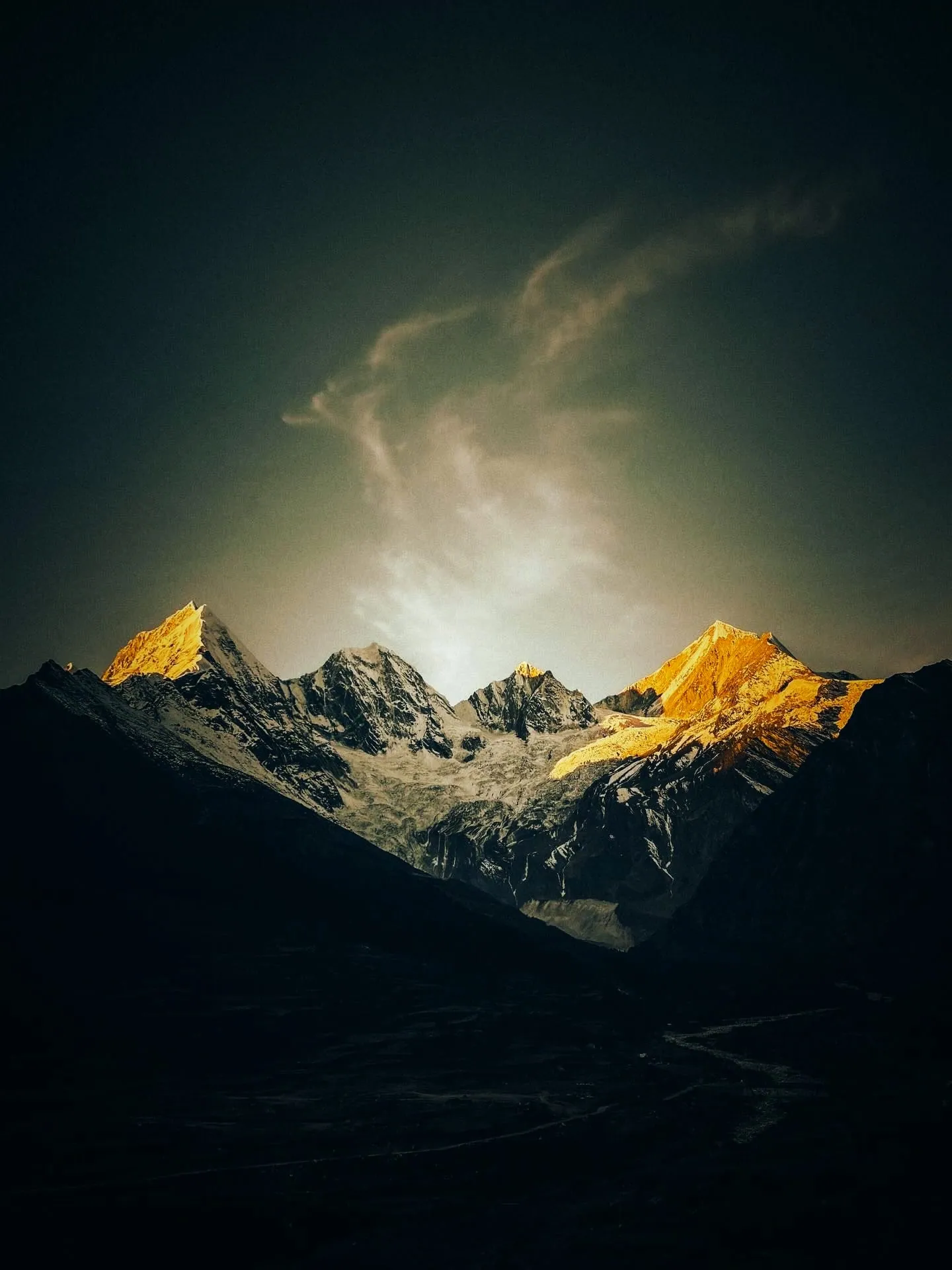
Darma Valley is reached by vehicle, and the Darma trip keeps one day on foot, the walk from Dantu towards Panchachuli Base Camp. The day above Dantu, going towards Zero Point and the foot of Panchachuli, is the part that asks something of you, and its length depends on where the road lets the vehicle stop that morning. A reasonably fit adult manages it at an easy pace. Altitude counts for more than fitness here.
A Delhi start reaches Dantu on the second day, climbing from Dharchula at 908 m. If you carry a heart or lung condition, blood pressure that isn't controlled, or a surgery not long behind you, talk to your own doctor before you book. If your dates need an inner line permit, the papers include a medical fitness certificate and a self-declaration affidavit, both listed on the district portal.
For travellers who want a road journey rather than a temple circuit, yes. The Panchachuli stand close overhead, the Rung villages still live by their own seasons, and traffic is scarce, which is rare in a Himalayan valley a car can reach. If a holiday must have hotels, phone signal and tar under the wheels, this valley will disappoint you, and better to know that now.
Travellers on a foreign passport are handled under a separate process, not the Inner Line Permit that covers Indian travellers, so settle it before booking anything. Send in your nationality with the dates under consideration, and confirmation follows for what applies on the road you want, taking in the Vyas valley if Adi Kailash sits in the same plan.
How we made this guide
The figures on this page are filled in from data each time it is built, never typed by hand: prices, days and nights from our package pages; road distances from OpenStreetMap, measured by a router (retrieved 22 September 2026); heights from Wikidata and the heights this site publishes; temperatures from 30-year ERA5-Land climate normals, modelled rather than measured at a weather station. If anything here is out of date, tell us on WhatsApp and we will correct it.
- Darma Valley Expedition from Delhi: itinerary and price
- Darma Valley Expedition from Haldwani: itinerary and price
- OpenStreetMap contributors, routed with OSRM: road distances · retrieved 22 September 2026
- Wikidata: published elevations · retrieved 24 September 2026
- ERA5-Land climate normals 1991–2020, ECMWF, via Open-Meteo · retrieved 22 September 2026
- ThePrint: Uttarakhand CM flags off Dehradun to Pithoragarh flight service (26 March 2026)
- Amar Ujala: inner line permits to be issued online (20 February 2025) · retrieved 26 September 2026
- District permit portal, Pithoragarh · retrieved 26 September 2026
- District permit portal: steps to get the ILP (read 25 September 2026) · retrieved 26 September 2026
About Adi Kailash Explore
Adi Kailash Explore (adikailash.io) is a tour operator based in Pithoragarh, Uttarakhand, that specialises in one route: Adi Kailash and Om Parvat, the Darma valley and Munsiyari. It runs departures from Delhi, Haldwani and Pithoragarh, and its team files the Inner Line Permit for every Adi Kailash traveller at SDM Dharchula. It is recognised by Uttarakhand Tourism, certified by MSME, Govt. of India (UDYAM-UK-09-0012927) and verified on the NIDHI Portal, and was founded by Vinay Verma. Why travel with us
Vinay Verma
Founder, Adi Kailash Explore; runs the Adi Kailash road from Pithoragarh.
Keep reading
All postsDarma Valley20 min readMunsiyari or Darma Valley: A Verdict for Each Traveller
Munsiyari if your days are few; Darma if you want to sleep high at Dantu. Adi Kailash Explore gives a verdict for each kind of traveller.Darma Valley12 min readDharchula to Dantu Village Distance, and Getting a Seat
No bus runs the Dharchula to Dantu village distance: about 37 km to Sobla, then higher. Adi Kailash Explore cover the shared jeep and the way out.Darma Valley13 min readPanchachuli: The Five Peaks You Look At, Not Climb
Panchachuli from Munsiyari is the western side, and from Dugtu and Dantu in Darma the eastern. Adi Kailash Explore say what each face shows.The day-by-day plan
Get the Darma Valley itinerary for free.
6 days and 5 nights from Haldwani, day by day on WhatsApp.Darma Valley from Haldwani: 6 days and 5 nights, day by day, sent on WhatsApp. Share it with your family, then ask us anything.
One WhatsApp message. Free, in Hindi or English.Or call +91 76688 58311 · Hindi or English
Darma Valley from Haldwani
6 days, 5 nights · day by day
- Haldwanistart
- Pithoragarh
- Dharchula
- Dantu
- Panchachuli Base Camp
- Sipu
- Dar hot spring
- Back to Haldwani
