Adi Kailash16 min read
Every night you sleep on the Adi Kailash road, with the height it sits at
The altitude risk on the Adi Kailash road sits on the first night at Gunji or Nabi, 3,200 m to about 3,290 m. If you're weighing this trip for a parent over 60, that night and the morning after it are what you're deciding about. The road itself is driven. Anyone with heart, lung or blood-pressure trouble should settle it with their own doctor first.
By Nivedita Verma, of the Adi Kailash Explore teamAsk us on WhatsApp
TL;DRThe post in 5 lines
- The altitude on the Adi Kailash road turns on one thing: the highest beds, at Gunji and Nabi, 3,200 m to about 3,290 m.
- Jolingkong, about 4,500 m, is a day visit about 36 km beyond Gunji, so travellers stand at that height for part of a day and sleep lower.
- Adi Kailash Explore's plans from Delhi and Haldwani sleep two nights at the same height in the high valley, instead of climbing a little more every day.
- Gunji, 3,200 m, is roughly 10,500 ft: the figure to write down for the doctor who signs your fitness certificate.
- Anyone with heart, lung or blood-pressure trouble should settle this road with their own doctor, not with an eligibility list on a website.
Key facts
- Highest night
- Gunji or Nabi, 3,200 m to about 3,290 m
- Day high at the lake
- Jolingkong, about 4,500 m
- Highest point reached
- Lipulekh, over 5,000 m
- Walking
- Driven route, with a little walking on uneven ground beside the lake
- Scheduled departures
- May to November
- Permit medical
- A doctor's fitness certificate, among the Inner Line Permit documents
Will the altitude make you ill on the Adi Kailash road?
This road sleeps low and visits high: the highest beds are Gunji and Nabi, 3,200 m to about 3,290 m.
Two things decide the altitude question here: where you sleep, and how fast you got up there. The summit, the pass and the lake are heights you pass through in a day, not sleep at. The body argues with the night, not the hour.
The beds at the top of this road are at Gunji and Nabi, 3,200 m to about 3,290 m. On the darshan day you drive up to about 4,500 m and come back to the same room. That's the whole shape of it.
What altitude sickness is, and what the names mean
Whether this height suits you is a medical question, not a packing-list one.
So what a road team can honestly give you is the heights. Write down Gunji, 3,200 m. That's the night your doctor is really ruling on.
The short answer for a family travelling with parents
Parents in good health often manage the driven route, once their own doctor has cleared the height and the cold.
For a parent over 60 with no heart or lung trouble, this road is usually within reach. The first night up is the hard one, and the plan keeps you in the same village the next night rather than taking you higher to sleep.
That's the picture, and it isn't a clearance. Your doctor has your parent's file in front of them.
How much of it is walking
Adi Kailash is driven the whole way, so the day asks for sitting and a little walking, never climbing.
There's no trek on this route. You sit in a vehicle on mountain road for hours, get out at the stops, and walk a little on uneven ground beside the lake. The effort is the early starts and the cold: whether Adi Kailash counts as a trek sets the day out.
Where this is gentler than Kailash Mansarovar, and where it isn't
Mount Kailash, in Tibet, is a different mountain in another country, and that yatra crosses the border on Chinese paperwork. Adi Kailash stands in Pithoragarh district. One Inner Line Permit covers it.
What this road doesn't give you is time. You gain the height sitting down, in a single day's driving. The climb runs from the bazaar on the Kali at 908 m up to a bed at 3,200 m.
How high do you sleep, night by night?
On Adi Kailash Explore's Delhi and Haldwani plans the two high nights are both at Gunji or Nabi, 3,200 m to about 3,290 m.
The road up runs Pithoragarh, Dharchula, then the climb to Gunji, about 80 km of it. On the Delhi plan the permit work is done at Pithoragarh in the morning, and you sleep in the high valley that night. The two nights after it sit at the same height, which is the point of them.
| Night | 6-day from Delhi | 5-day from Haldwani | Sleeping height | Climb since the night before |
|---|---|---|---|---|
| 1 | Pithoragarh | Pithoragarh | 1,645 m | First night up from the plains |
| 2 | Gunji or Nabi | Gunji or Nabi | 3,200 m to about 3,290 m | About 1,555 m |
| 3 | Gunji or Nabi | Gunji or Nabi | 3,200 m to about 3,290 m | None, the same bed |
| 4 | Pithoragarh | Pithoragarh | 1,645 m | Down about 1,555 m |
| 5 | Pithoragarh | Dropped at Haldwani on day 5 | 1,645 m | None |
A night in a hill town, two at the top of the road, then back down the road you came up. Nothing on either plan is slept higher than Nabi.
The 4-day plan starts at Pithoragarh rather than driving up to it.
The day you touch the top: Jolingkong and back
Jolingkong is about 36 km beyond Gunji, reached at first light and left the same day.
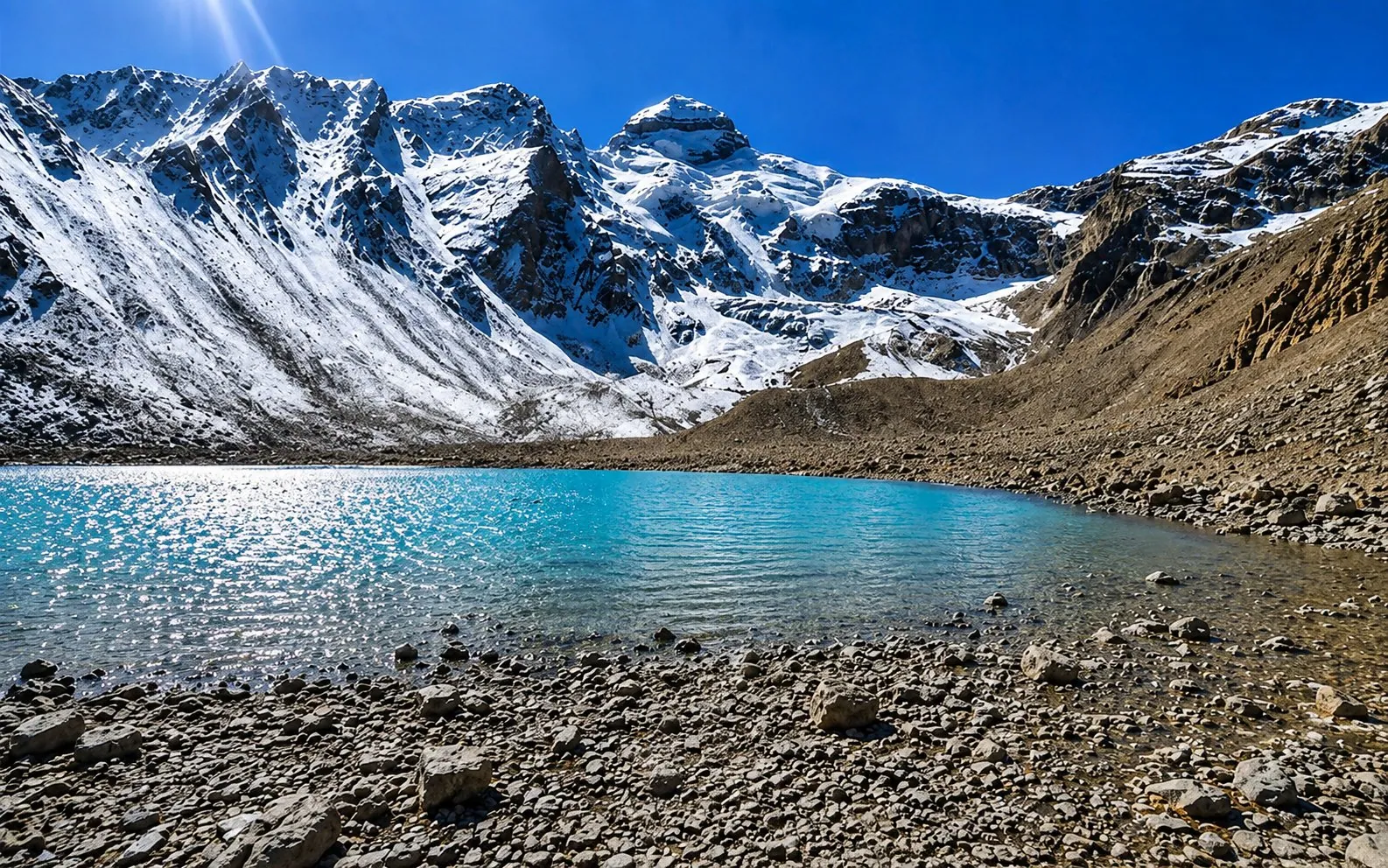
Jolingkong is about 36 km beyond Gunji. Beside Parvati Sarovar, travellers do the darshan of Adi Kailash. You are at about 4,500 m in the morning, and that night you sleep back down at Gunji or Nabi.
That difference carries more weight than any other figure on this road. An hour at a height is not a night at it.
Why a cold night feels like altitude
Gunji nights run near freezing in May and October, and a cold, short night is easy to mistake for the height.
Gunji's May night low averages 1°C. By October it's 0°C, with 14 frost nights in the month. A cold room and a start before first light make for a traveller who is certain the altitude has them.
Carry a layer to sleep in, not only one for the day.
Which months this is about
Adi Kailash Explore's scheduled departures run May to November, and the monsoon weeks in the middle of that window are the wet ones.
Gunji takes 479 mm of rain in July and 437 mm in August, against 38 mm in October. Up here rain isn't a comfort question. It's the road, and the authorities shut the Gunji road when they judge it unsafe.
As of 20 October 2026, the closing date for the 2026 Adi Kailash and Lipulekh permits hasn't been announced. How cold the nights get at Gunji and Jolingkong takes the months one by one.
How high are Adi Kailash, Jolingkong and Gunji?
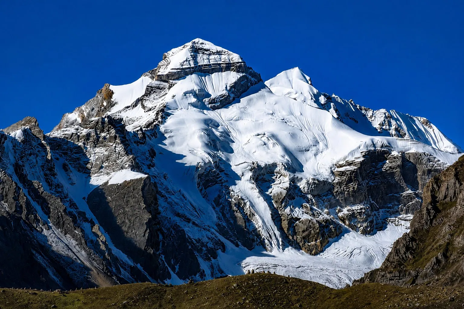
Nobody climbs Adi Kailash on this trip: the highest beds are Gunji and Nabi, 3,200 m to about 3,290 m, and the peak is only looked at.
Two figures are in print for the summit. Adi Kailash Explore publishes 6,191 m, and 5,945 m also appears for the same peak. Either way, no part of this yatra goes up it: travellers stand beside the lake and look.
| Place | Height | What it is |
|---|---|---|
| Dharchula | 908 m | The last ordinary town, on the Kali |
| Budhi | About 2,750 m | Village on the climb up |
| Gunji | 3,200 m | Where you sleep |
| Nabi | About 3,290 m | The other village you may sleep in |
| Kalapani | About 3,600 m | Day stop on the Om Parvat run |
| Kuti | About 3,820 m | Village on the Jolingkong road |
| Nabhidhang | About 4,250 m | The Om Parvat viewpoint |
| Jolingkong | About 4,500 m | Parvati Sarovar, where the road ends |
| Lipulekh | Over 5,000 m | The pass, the highest point reached |
These are village, lake and pass heights, not surveyors' marks. Where a signboard puts a place higher or lower than one of these, that gap is the spread you are dealing with.
Why published heights for the same place disagree
A lake, a rest house, a ridge and a summit sitting close together get quoted as one height, so the figures differ.
Jolingkong turns up in print several hundred metres apart. Ask which thing a number belongs to and most of the argument settles: why published heights for Jolingkong differ goes through them.
The heights in feet
Gunji, 3,200 m, is roughly 10,500 ft. Jolingkong, about 4,500 m, comes to about 14,760 ft, and the 6,191 m summit figure to about 20,310 ft. Those are conversions of the metre figures above, and metres are the form to write on the note you carry to the doctor.
What you feel on the first night up, and who to tell first
Anything that feels wrong at Gunji goes to the guide first, and to your own doctor before you book.
Tell the guide the first time you feel wrong, not the third: a headache, or breath that runs short on the guest house stairs. Whether that's the height, the cold or ten hours sitting in a vehicle isn't a call to make from a travel page. Ask the doctor who signs your fitness certificate what to watch for at 3,200 m.
On the Jolingkong morning, saying you'd rather stay at Gunji means missing that darshan. Rest and a way back down are part of how the route is built.
A pulse oximeter is one reading
A pulse oximeter is easy to carry, and a number on a finger is comforting. It's one input, not a verdict. What a reading means for you, with your own history behind it, is a question for your doctor.
Saying something early is worth more than any gadget. A traveller who speaks up at 8 pm has choices. The same traveller at 2 am has fewer.
Where can you go down to from Gunji, and how far is it?
Everything lower lies back down the same road: Budhi first, then Dharchula, about 80 km from Gunji.
There's one road, and it follows the Kali down. Budhi, about 2,750 m, is the first real drop below Gunji. Dharchula, 908 m, is the lowest point on the way back, and the first town with a bazaar.
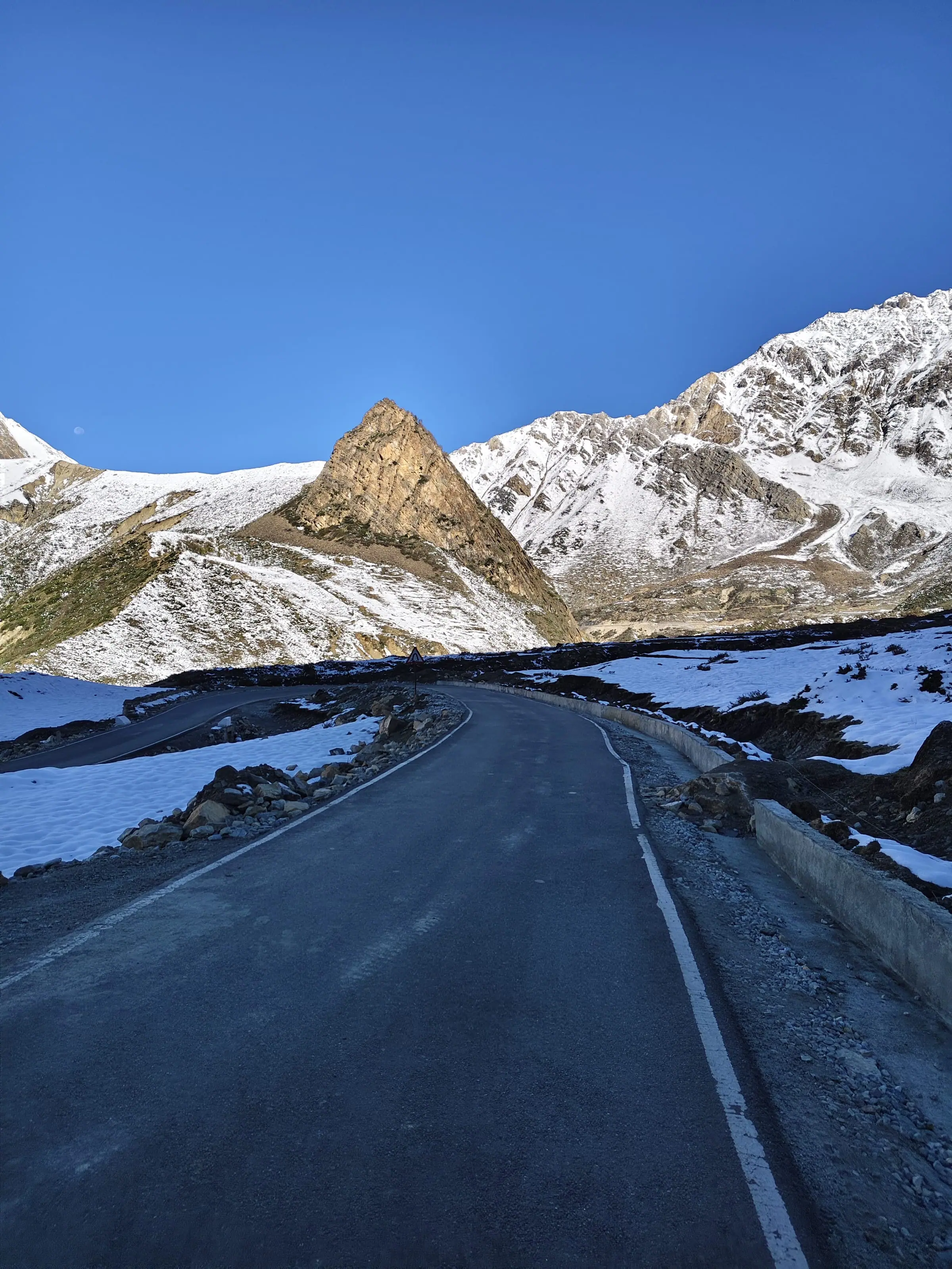
Gunji to Dharchula measures about 80 km, on one thread of mountain road that climbs and drops the whole way. The hours belong to the day: the weather, a slide, a wait wherever the road says so. The road in the order you meet it goes through the rough parts.

When the road is cut
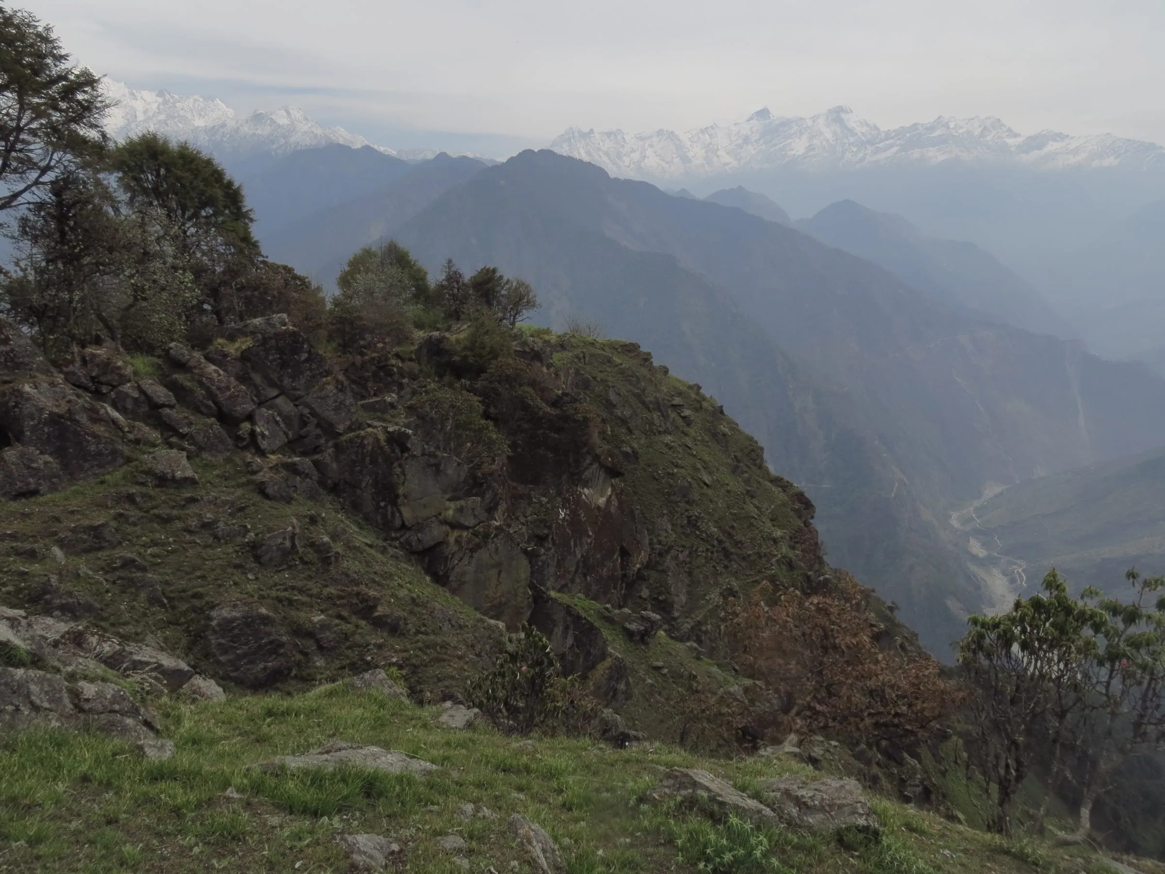
Weather or a slide can shut the Gunji road at short notice, which is the whole argument for speaking up early.
If a leg is cut, the plan moves to what the same valley allows, you hear the moment we know, and a day the road doesn't allow isn't charged. Going down on a bad day still isn't instant.
Keep a spare day at the Pithoragarh end. The road decides the last leg, not your ticket.
Does oxygen on the road fix altitude sickness?
Oxygen on this road means a cylinder or a concentrator carried in a vehicle, and neither of them makes the height any lower.
A cylinder in the boot doesn't make a height safe, and it is never a reason to keep climbing. Oxygen is what you do while the vehicle is being started, not instead of starting it.
Cylinder or concentrator
A cylinder holds a fixed amount and needs no power, while a concentrator runs for as long as its battery lasts.
A cylinder is simple and finite: when it's empty, it's empty. A concentrator keeps going while it has charge, so it needs a plug point somewhere, and power in the high valley is its own conversation. Neither of them is a hospital.
What to ask any operator before you pay
Ask what oxygen travels with the group, who is trained to use it, and what happens at night.
- What oxygen is in the vehicle on the Gunji and Jolingkong days, and which vehicle carries it
- Who in the team is trained to use it
- What happens at night if a guest must come down: which vehicle, which driver, and down to where
- Whether anyone checks on guests in the evening at Gunji
- How word reaches your family, and the team below, when the phones are out
That last one catches people. The signal in the high valley comes and goes, so ask how a message travels on a day when the phones are out: where the phone works on this road names the villages.
Should you take Diamox for Adi Kailash?
Diamox is a prescription medicine, so the dose and the decision belong to the doctor who knows your history.
Diamox appears on packing lists for this road, sometimes with a tablet count beside it. Whether it suits you turns on your own history and whatever else you already take. Your own body at 3,200 m is what the answer turns on.
What to ask your doctor
Take the heights, the nights and the driving days in with you, and start with the medicines you already take.
- I'll sleep two nights at 3,200 m and spend part of a day at about 4,500 m. Is that all right for me?
- I reach that height by road in one day, not on foot. Does that change your answer?
- Do my regular medicines need changing for a week at that height, and in that cold?
- Should I carry anything for altitude, how do I take it, and what should I watch for?
- In my case, at what point should I stop going higher and come down?
- What should the doctor signing my fitness certificate know about this route?
Screenshot that list and take it in. A short appointment goes a long way further when the questions are already written down.
Can you go with diabetes, high blood pressure, asthma or a stent?
Only a treating doctor can answer that, and the flat bans and age caps published elsewhere are not the district's rule.
Some pages publish that people with heart conditions, severe asthma or high blood pressure aren't allowed up, and that the age cap is 70. Those are lines on registration pages. They aren't what the district asks for.
What the district lists among the permit documents is a doctor's fitness certificate and a self-declaration, with formats to download (read 25 September 2026). The portal publishes the formats, not a list of tests, so what the examination covers is between you and the doctor. Check what the district asks for on your own dates, and the part of the permit you do yourself for the rest of the paperwork.
Facts to give your doctor
A doctor can only rule on this road with the sleeping height, the number of high nights and the distance back down.
- Two nights at 3,200 m to about 3,290 m, the highest beds on the route
- Part of a day at about 4,500 m on the darshan day, and Lipulekh, over 5,000 m, the next day
- The height is gained by road in a day, not walked into.
- Night lows near freezing at Gunji in May and October
- Dharchula, the last town with a bazaar, is about 80 km back down a mountain road
Diabetes, insulin and long cold days
Long driving days, a late lunch and the cold are the practical problems for a traveller on insulin up here.
Breakfast and dinner come with the trip. Lunch on the road happens where the road allows, which can be later than you'd like. If you count carbohydrates or time your insulin, carry your own food, tell the guide your schedule, and ask your doctor how to carry and store a pen in that cold.
Who this road suits, and who should think again
The driven route suits most healthy travellers, parents over 60 included, and heart or lung trouble is for your own doctor to rule on.
Worth it if you can sit through long mountain days, sleep two nights at 3,200 m and let the plan slip when the weather says so. Not worth it if your flight home is the next morning, or a doctor has told you to stay low this year. The short answers sit in our FAQ.
Parents over 60
Parents over 60 in good health usually manage the road, and the cold at night is the other thing to plan for.
The height is not the only thing to prepare for up here. A long day in a vehicle, a cold room, a short night, and a start before first light for the lake. Give them a hot water bottle, a proper layer for bed and no argument about the stairs.
Here's the one real drawback. Rooms in the high valley are basic, a government guest house with shared rooms or a village homestay, and that's what there is. Even so, the village night at Gunji or Nabi is the night the plan is built around.
First-timers and children
Munsiyari is the lower and easier trip to ask about for families with children.
For a family with young children we'd point you to Munsiyari instead: lower, easier, with a morning walk up to the Khaliya meadow. For the high route, tell us the child's age and you'll get an opinion rather than a sale.
When to take the longer plan
Travellers worried about the height should take the longest plan on offer, because the nights it adds are low ones.
6 days from Delhi costs ₹42,400 a person and puts the first night at Pithoragarh, 1,645 m, before the valley: the Delhi plan's day order has it day by day. 5 days from Haldwani is ₹36,800 a person over the same high valley, with one day less at the end.
The other questions people ask about Adi Kailash and altitude
Adi Kailash is not climbed on this yatra, and Mount Kailash is a different mountain, in Tibet.
Has anyone climbed Adi Kailash?
Travellers on this route don't climb it, and the summit is no part of the yatra. The five peaks that carry the name Kailash sorts out which is which.
What did NASA see on Mount Kailash, and what happens to people who climb it?
Both of those travel as stories rather than records, and they are told here as what people say. The claims around Om Parvat were taken one at a time in the Om Parvat story, including which of them can be traced to anybody. For Mount Kailash in Tibet, what circulates is belief and retelling, and we leave it as belief.
How tall is Kailash Parbat, and how far is it from Om Parvat?
Mount Kailash stands in Tibet, a different mountain from Adi Kailash, so its height and its distance belong to that route and not this one. What this road gives you is the view. On a clear day, when the authorities allow the drive, Mount Kailash is seen from Old Lipulekh: where that view actually is.
How do I reach Adi Kailash from Dharchula?
One road, two legs. Dharchula to Gunji is about 80 km, and Gunji to Jolingkong another about 36 km. Both legs need the Inner Line Permit, which we file before you arrive. The route leg by leg has the order of the towns.
Questions travellers ask
No age cap appears among the documents the district asks for. What it lists is a doctor's fitness certificate and a self-declaration, with formats on the portal. Some registration pages publish 18 to 70 as a rule, and that is their rule rather than the district's. Check what applies on your dates, and settle the fitness question with the doctor who signs the certificate.
Warmth for bed, not only for the day: thermals to sleep in, a fleece, a cap and warm socks. Gunji's night low averages 1°C in May and 0°C in October. Add lip balm, a bottle they will actually drink from, their regular medicines in the hand baggage, and shoes with grip for the uneven ground beside the lake.
Cold and mostly dry. Gunji averages 11°C by day and 0°C at night in October, with 14 frost nights in the month. The October normals show 0 snow days at Gunji, but one early fall can shut the high road in any week, so keep a spare day at the end of the trip.
Yes, and the heights that matter for your trip are the sleeping heights on this road. The useful comparison is the night, not the name of the mountain. On the Adi Kailash yatra the highest bed is Gunji or Nabi, 3,200 m to about 3,290 m, and the highest point travellers reach is Lipulekh, over 5,000 m, for part of one day before they come back down to sleep.
How we made this guide
The figures on this page are filled in from data each time it is built, never typed by hand: prices, days and nights from our package pages; road distances from OpenStreetMap, measured by a router (retrieved 22 September 2026); heights from Wikidata, the Copernicus 90 m elevation model and the heights this site publishes; temperatures from 30-year ERA5-Land climate normals, modelled rather than measured at a weather station. If anything here is out of date, tell us on WhatsApp and we will correct it.
- Adi Kailash from Delhi: itinerary and price
- Adi Kailash & Om Parvat: itinerary and price
- Adi Kailash, short route: itinerary and price
- OpenStreetMap contributors, routed with OSRM: road distances · retrieved 22 September 2026
- Wikidata: published elevations · retrieved 24 September 2026
- Copernicus GLO-90 elevation model, via Open-Meteo (heights given as about) · retrieved 24 September 2026
- ERA5-Land climate normals 1991–2020, ECMWF, via Open-Meteo · retrieved 22 September 2026
- District permit portal: steps to get the ILP (read 25 September 2026)
About Adi Kailash Explore
Adi Kailash Explore (adikailash.io) is a tour operator based in Pithoragarh, Uttarakhand, that specialises in one route: Adi Kailash and Om Parvat, the Darma valley and Munsiyari. It runs departures from Delhi, Haldwani and Pithoragarh, and its team files the Inner Line Permit for every Adi Kailash traveller at SDM Dharchula. It is recognised by Uttarakhand Tourism, certified by MSME, Govt. of India (UDYAM-UK-09-0012927) and verified on the NIDHI Portal, and was founded by Vinay Verma. It is a private limited company, Adi Kailash Explore Private Limited (CIN U79120UT2026PTC022688), incorporated on 13 November 2026. Why travel with us
Keep reading
All posts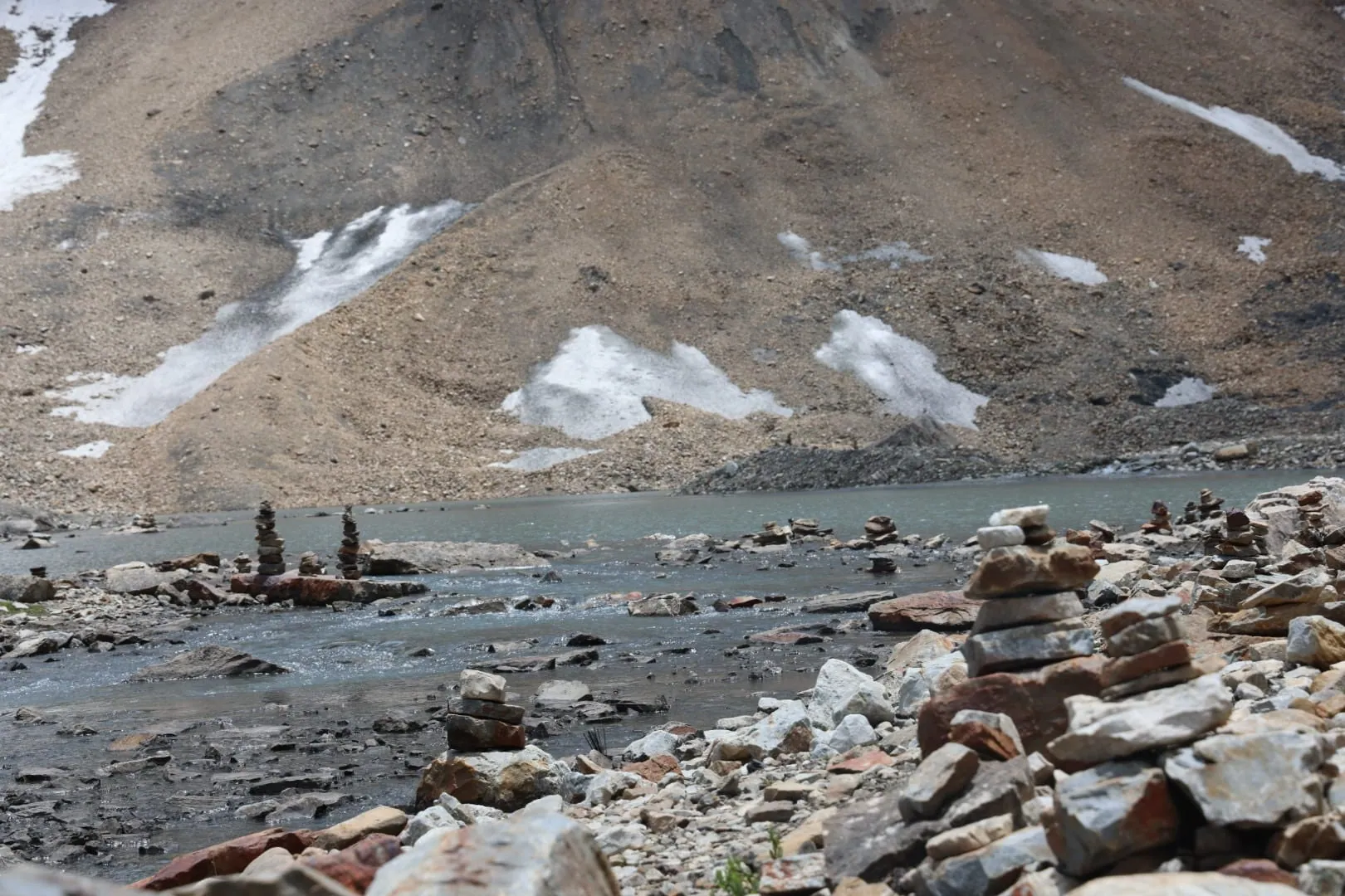 Adi Kailash14 min read
Adi Kailash Temperature Month by Month, Gunji to Jolingkong
Adi Kailash temperature at Gunji, 3,200 m, averages 12°C by day and 1°C at night in May. Adi Kailash Explore set out each month and the layers it needs.Adi Kailash16 min readHow to Reach Parvati Kund: Drive to Gunji, Then Jolingkong
Parvati Kund, the lake at Jolingkong below Adi Kailash, sits at about 4,500 m where the road ends. Adi Kailash Explore name which water is Gauri Kund.Adi Kailash16 min readDharchula to Gunji Road Condition, in the Order You Meet It
Dharchula to Gunji is about 80 km of road from 908 m to 3,200 m, and the condition changes by stretch. Adi Kailash Explore name them in order.The day-by-day plan
Download the Adi Kailash itinerary for free.
6 days and 5 nights from Delhi, as a 19-page PDF on WhatsApp.Adi Kailash & Om Parvat from Delhi: 6 days and 5 nights, as a 19-page PDF on WhatsApp. Forward it to your family, then ask us anything.
One WhatsApp message. Free, in Hindi or English.Or call +91 76688 58311 · Hindi or English
Adi Kailash & Om Parvat from Delhi
6 days, 5 nights · 19 pages
- Delhistart
- Pithoragarh
- Gunji
- Jolingkong
- Nabhidhang
- Lipulekh
- Jageshwar
- Back to Delhi